Well, it’s the end of April. We’re seeing record high temperatures, and a surprisingly high frequency of cold fronts. Something seems out of wack, but hey, I’ll take it. It’s very unusual to be seeing this frequency of fronts this late in the surfing season. The surf forecast is looking great for the upcoming week. Continue reading Gulf Coast Surf Forecast: Two More Surf Producing Cold Fronts within the Next Week.
Category Archives: Surf Forecasts
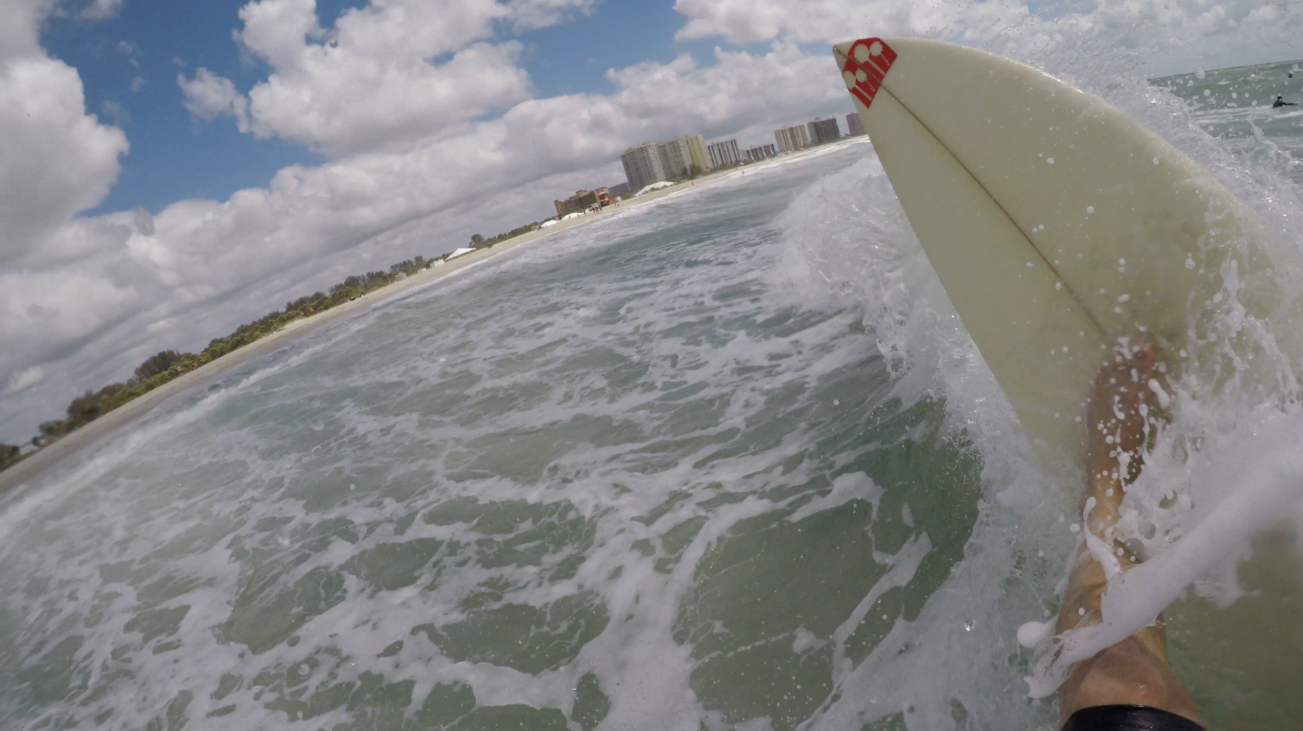
Surf Forecast: For Monday/Tuesday – April 24/25 – 2017
Surf is on its way. The front is just a day away from crossing west Florida. Around noon on Monday the surf comes up to the 5-6 foot wave mark on the Egmont buoy. Monday evening will be the peak of the swell. Early Tuesday morning waist high surf remains, decreasing in size through the morning. We’ll have air the mid 70s, and water just below 80°. I wouldn’t miss this one.
Monday afternoon shwacks.
Gulf Coast Surf Forecast: Week of April 03, 2017
If you didn’t already know, the surf is on its way up right now. There appears to be a small wave on the beach at the south swell spots. There are gusty south winds in front of the cold front. The front is expected Continue reading Gulf Coast Surf Forecast: Week of April 03, 2017
Warm Front in Texas, Cold Front in West Florida: Published:03/26/17
Texas is in for the best surf of the region in the coming week. Mid-day on Wednesday the swell begins to rise to the 9-12 foot mark, biggest by evening, this of course accompanied by 25 knot winds. First thing Thursday morning the swell will be dropping. After noon the wave heights remain about the same, and by evening the winds will go offshore.
There is a pre-front front coming to the southeast in a couple days opening the door for the second front, another west Florida wave-maker. The first will stall just north of West Florida. Continue reading Warm Front in Texas, Cold Front in West Florida: Published:03/26/17
East Florida and Texas Surf Forecast
Texas and east Florida will be seeing swell in the upcoming week. Both locations will be alternating between periods of strong onshore winds, ranging from 20-25 knots, and light or offshore winds. Both locations will be very similar in their surf trends; the surf runs about 5-7 through most of the week.
The east coast will be offshore for one more day before the winds turn onshore. 12 to 15 foot swell is showing up on the wave models for Friday in East Florida. Choppy, large surf will rise. Then, starting on Sunday evening the winds go slack and the surf continues at 5-7ft through the week.
Northern Texas will be getting straight onshore surf for the Friday swell. First thing Saturday the surf will be fun, light winds and 5-7 foot swell. Sunday the winds pick up again, and the gulf maintains a 15knot+ onshore wind through the week. There’s another possibility of light winds next Thursday morning.
These conditions are subject to change. Make sure to check the short range forecast, and your current conditions before you head out.
Cold Front: The Tuesday/Wednesday Forecast (w/surf report)
The front moves though the gulf early on Tuesday. After the front blows through a rapid change will occur; The temperatures will drop, and the skies will clear. High pressure builds in, and the surf comes up not long after.
Surf’s Up Surf Report! It’s 9am on Tuesday. The surf rose quickly early this morning. There is now 5 and 6 foot swell on the buoys. It is chest to head high. The tide is coming in this morning until around 1:45. The air is 62 degrees and the sustained onshore wind is at 21 knots.
West Florida
On Tuesday the surf may get up to around waist high right before dark. SWAN is predicting 3-4 foot swell with a short period, and 15 knot northwest winds. With enough west it could get fun. Keep your eyes on the buoys and cams for a possible Tuesday evening surf. The swell peaks at 4-5 feet at 6-8 seconds from the west-northwest on Wednesday, with north winds. On Wednesday, the further you go south, the longer the long period swell wave window will be.
Water: Egmont, 69° – Venice, 71°
Skies: Clear
Air: upper 60s
Rest of the Gulf
Pensacola will be seeing a little tiny bit of surf right before the front, but the area stays mostly flat. The day after the front Texas gets a sideshore wave, with sideshore winds gusting up to 18mph.
East Florida
Over on the Atlantic, the surf is about waist to chest high. The winds are sideshore for the next couple days. The waves will be “textured” on the exposed outer sandbars. By the time the winds go offshore mid-week, the surf drops. It’s not really a good week for making a day trip to east Florida.
Cold Front: The Surf Forecast 02.25.17 (updated Wed, Mar 1st)
WFL Wednesday March, 1st 2017 update: Friday the surf comes up to around 4-5 feet at 6 seconds from the northwest, with winds from the north. The surf peaks between noon and 3pm. The skies will be cloudy in the morning, clearing by afternoon. The highs are in the low 70s. In Clearwater the tide comes in from 8:30a-2:30pm, about 2 feet. Then, the tide drops about 2.5 feet until just after 9pm. Continue reading Cold Front: The Surf Forecast 02.25.17 (updated Wed, Mar 1st)