This storm took shape as tropical storm Bertha in the carribean near Barbados. It needed to cross harsh atmospheric environment and land masses before it was able to strengthen into a hurricane. After emerging into open water of the western atlantic it began to strengthen and just as it emerged into the wave window for most of east Florida it’s winds were sustained at 75 mph, the minimum to be categorized as a hurricane. At 3am on Monday tropical storm Bertha’s winds were sustained at 65 miles per hour. By nine in the morning the winds were sustained at 70 miles per hour; not quite hurricane winds. At 3pm the reconissance team returned with evidence of sustained winds at 80mph, and so on August 4 at 3pm the storm was considered a Hurricane.

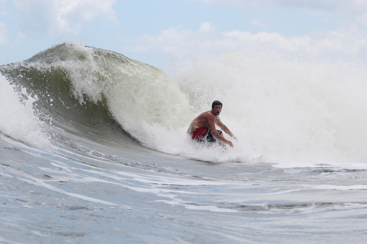
The ocean conditions produced by this storm varied. At the very beginning of the window the water was churned up. The contents of the ocean were mixed by the movement of water this storm produced. Because the storm started to the southeast of the state, then moved northward, the energy from the storm was sent parallel to the coast. When this happens the wave and wind energy is less inhibited, and more continuous. When this happens a current that runs parallel to the coast forms. This is what happened through the first day and a half of this storm. The rip remained on Tuesday morning. As the storm moved north it’s energy became more direct. It started as a south swell in the morning on Tuesday, then became more east, and then the swell began to come from the north toward the end of the wave window.
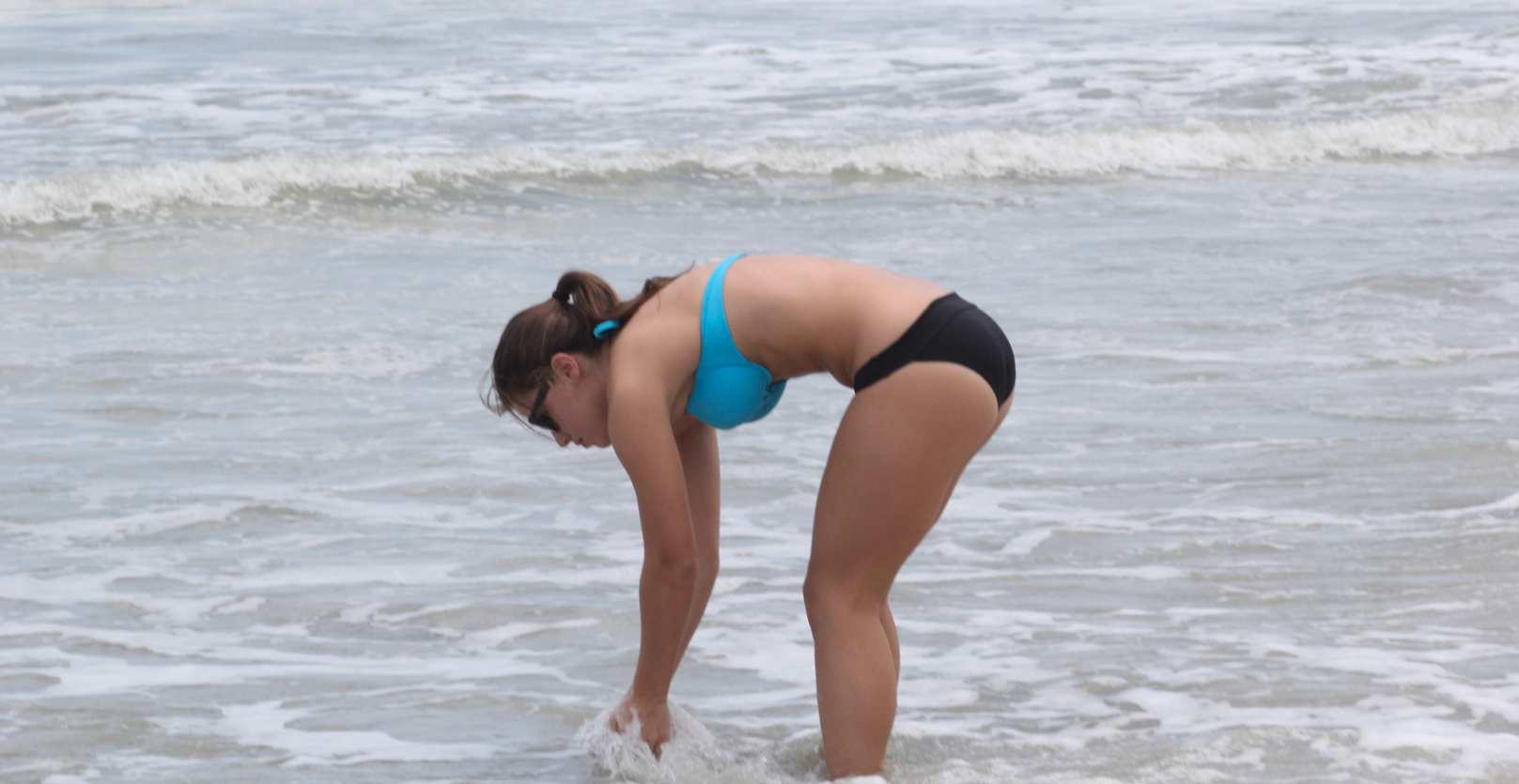
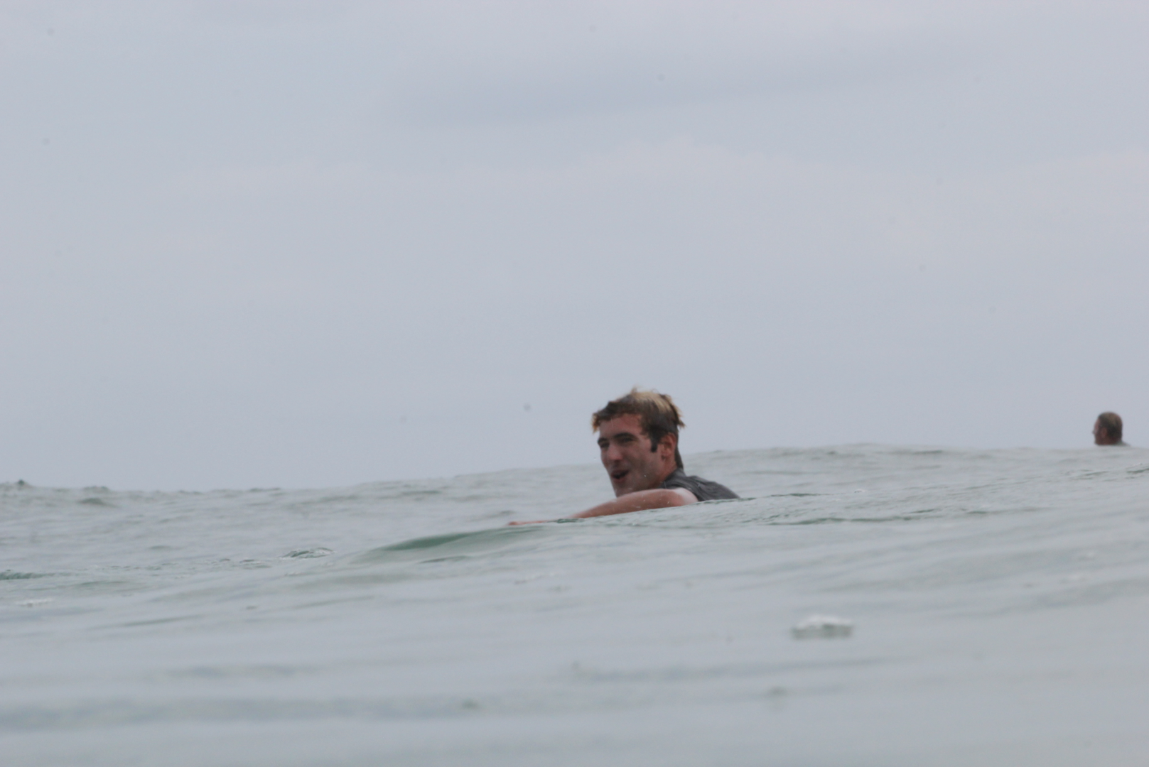
Reports of shark bites are at an all time high. The statistics are staggering. Last year, the beach with the most attacks was 9 bites. 9 bites! I hope you can sense my sarcasm. Stingrays present nearly as much risk as sharks. During the spring, a relative of mine had to go to three medical cites to get her stingray wound fixed. They went to a walk in clinic, then a hospital, then somewhere that specializes in the treatment of children. At the final location they were able to operate on her foot which held the barb. Most sharks only attack humans because they mistake them for prey. The reason we know this is because we know even sharks aren’t stupid enough to attack something twice their size; and most sharks that attack people are a little larger than half the person’s size. From a fisherman’s perspective, I go out with every tool known to man trying to provoke a bite in areas as thick or thicker with sharks than many beaches. I have learned a number of things. I learned, if these fish are hungry they are more likely to eat. I learned that the precise location of bait can make a difference. Most importantly I learned sharks are like snook in that they can sense vibrations in the water. Erratic vibrations are most often what provoke a strike. Some vibrations in the water resemble a wounded fish. From 50 feet away a shark can sense vibrations in the water from a bait fish as small as a minnow. Because they have such good ability to sense vibrations in the water, they sense movements of your hands, your body, and your feet. These fish recognize patterns of vibrations. Because humans make vibrations that don’t resemble dinner you are sufficiently safe to enter the water and partake in whatever activities you please.
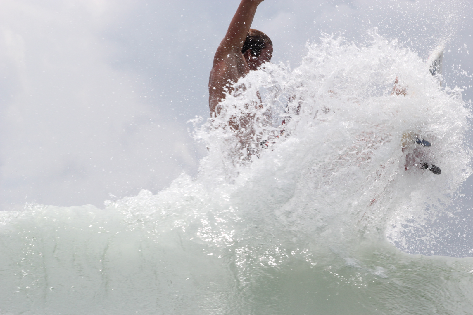
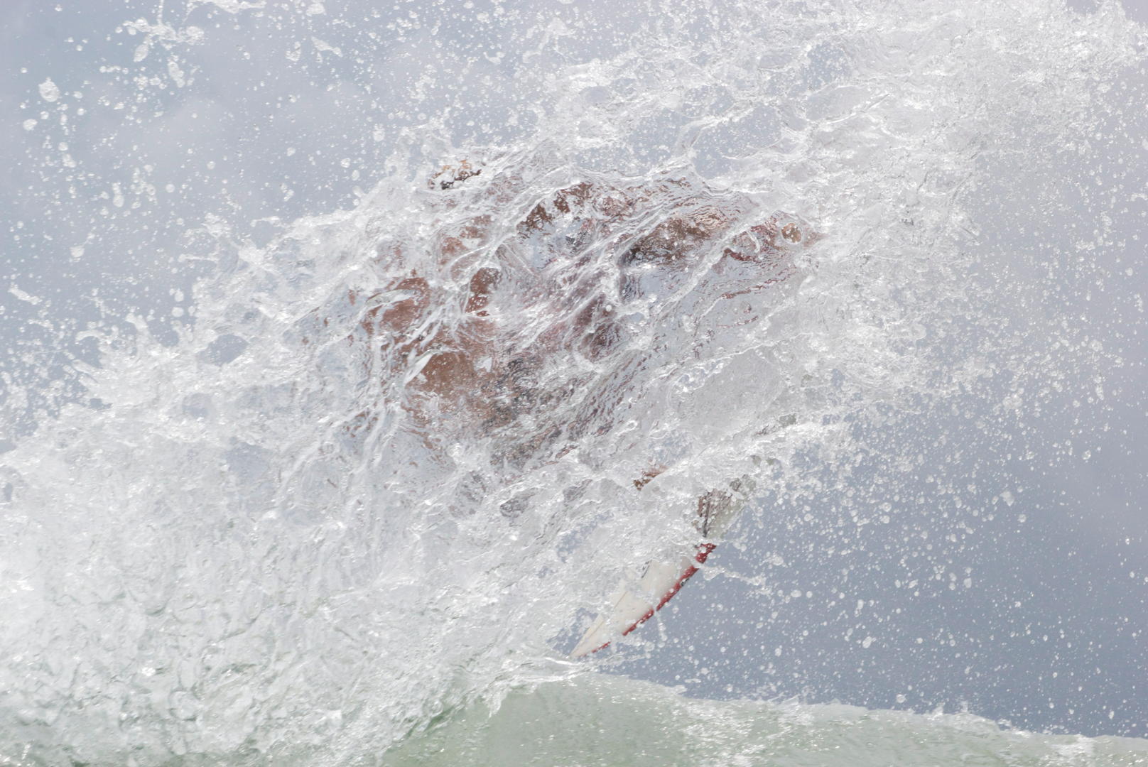
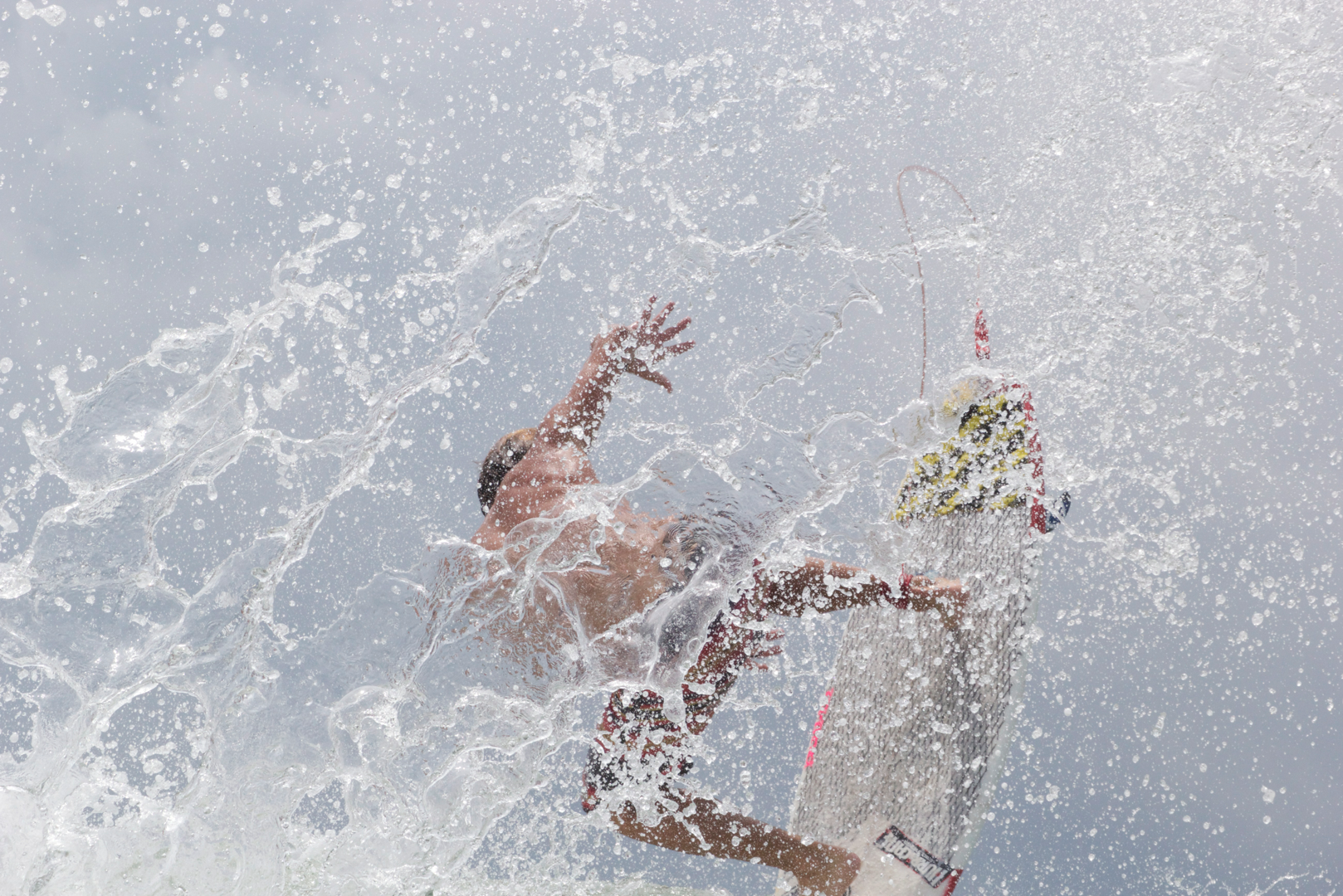
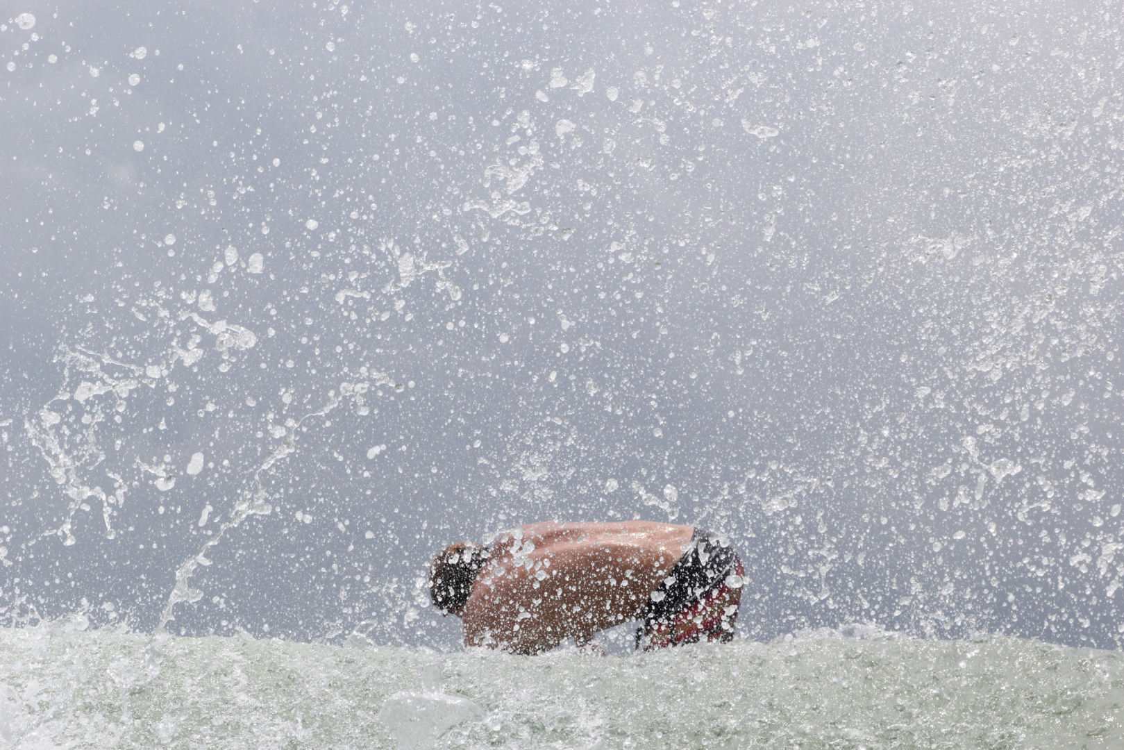
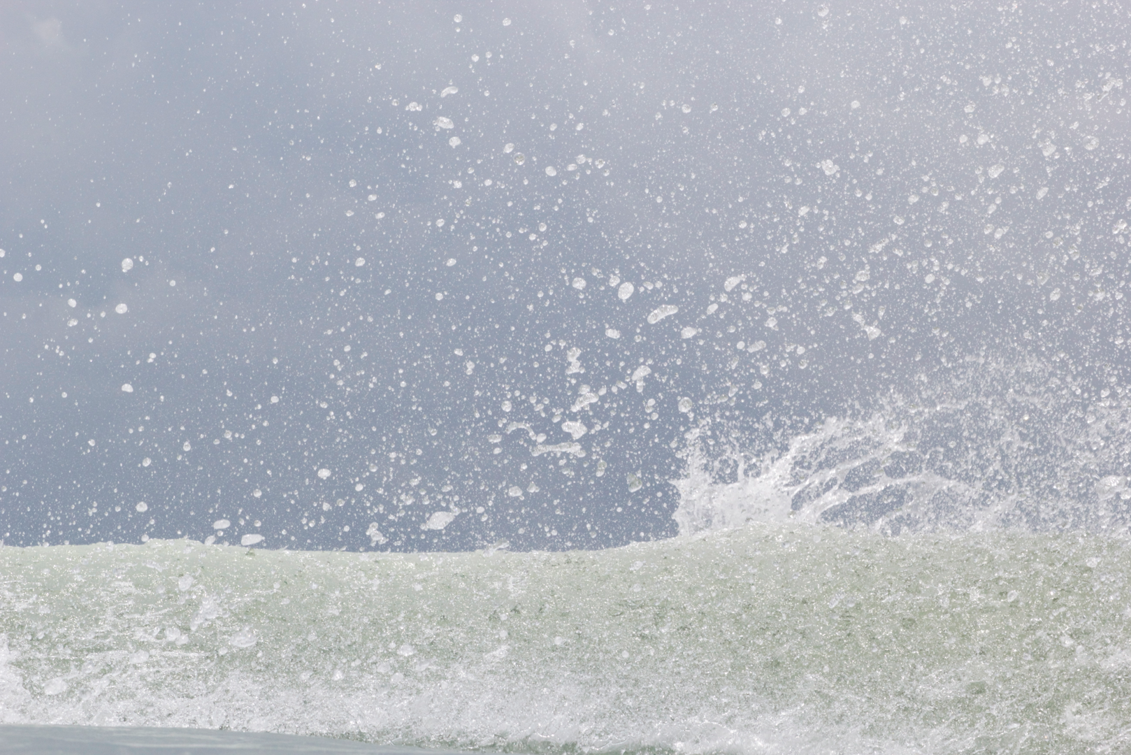
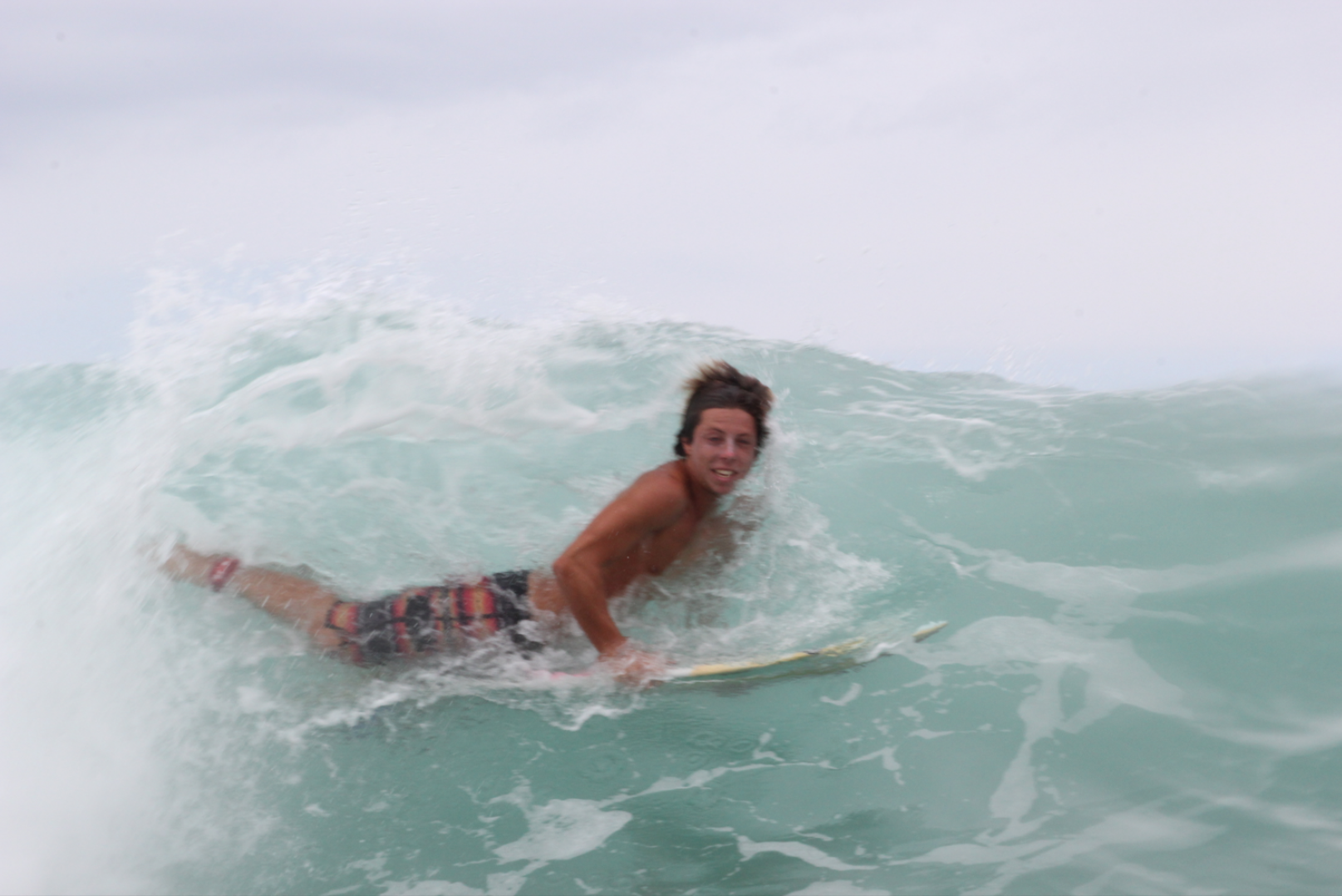
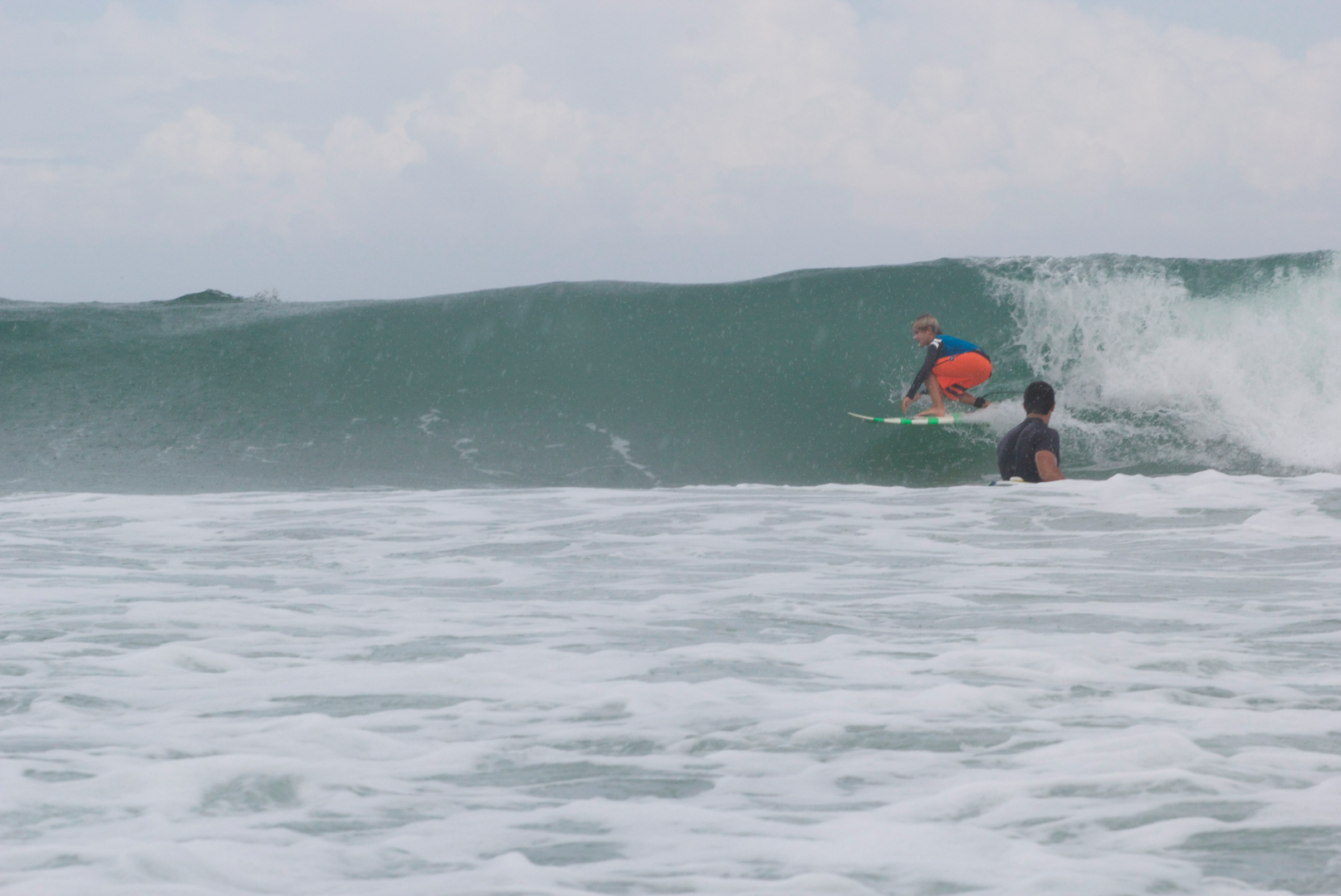
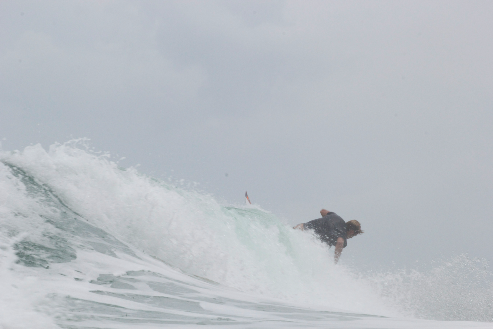
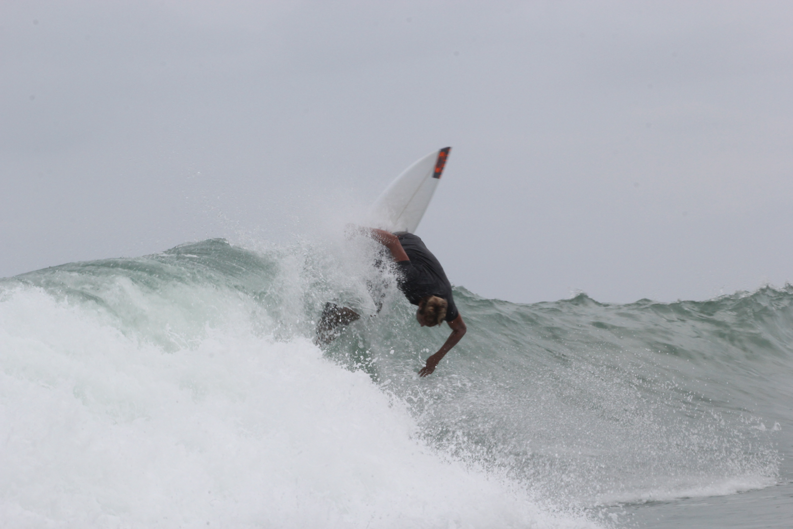
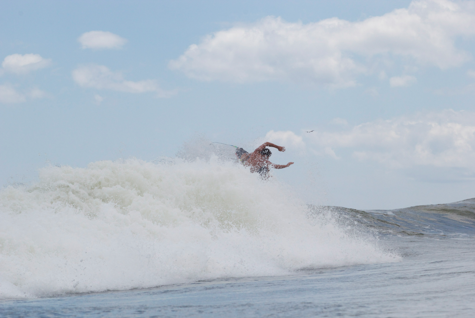
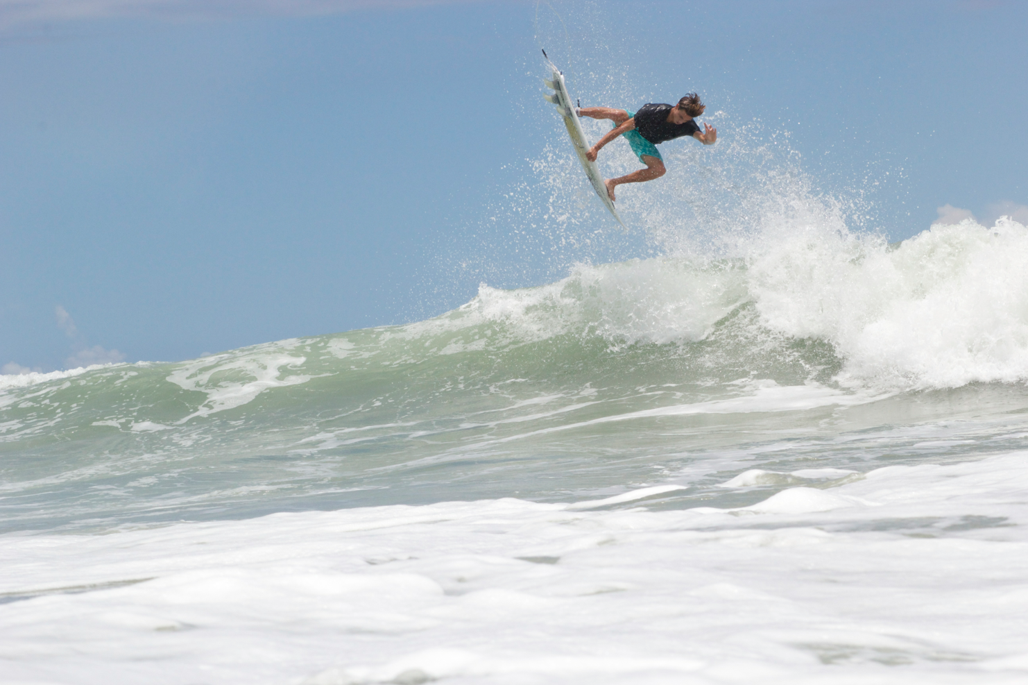
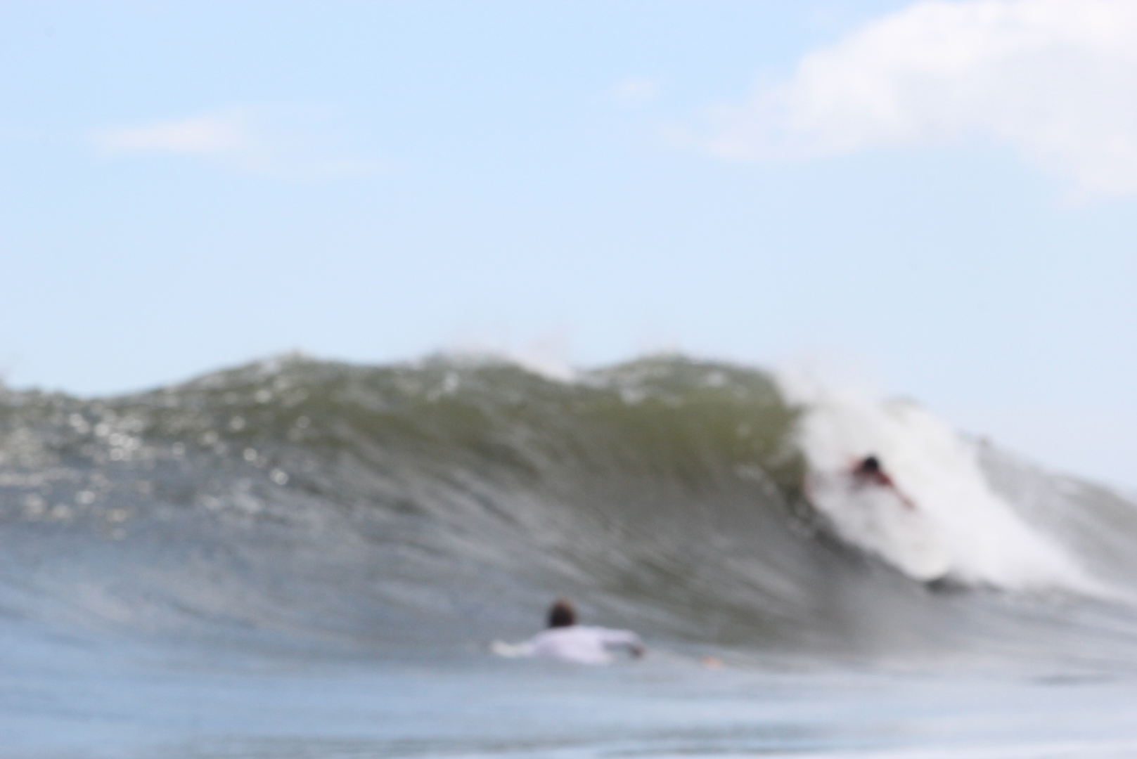
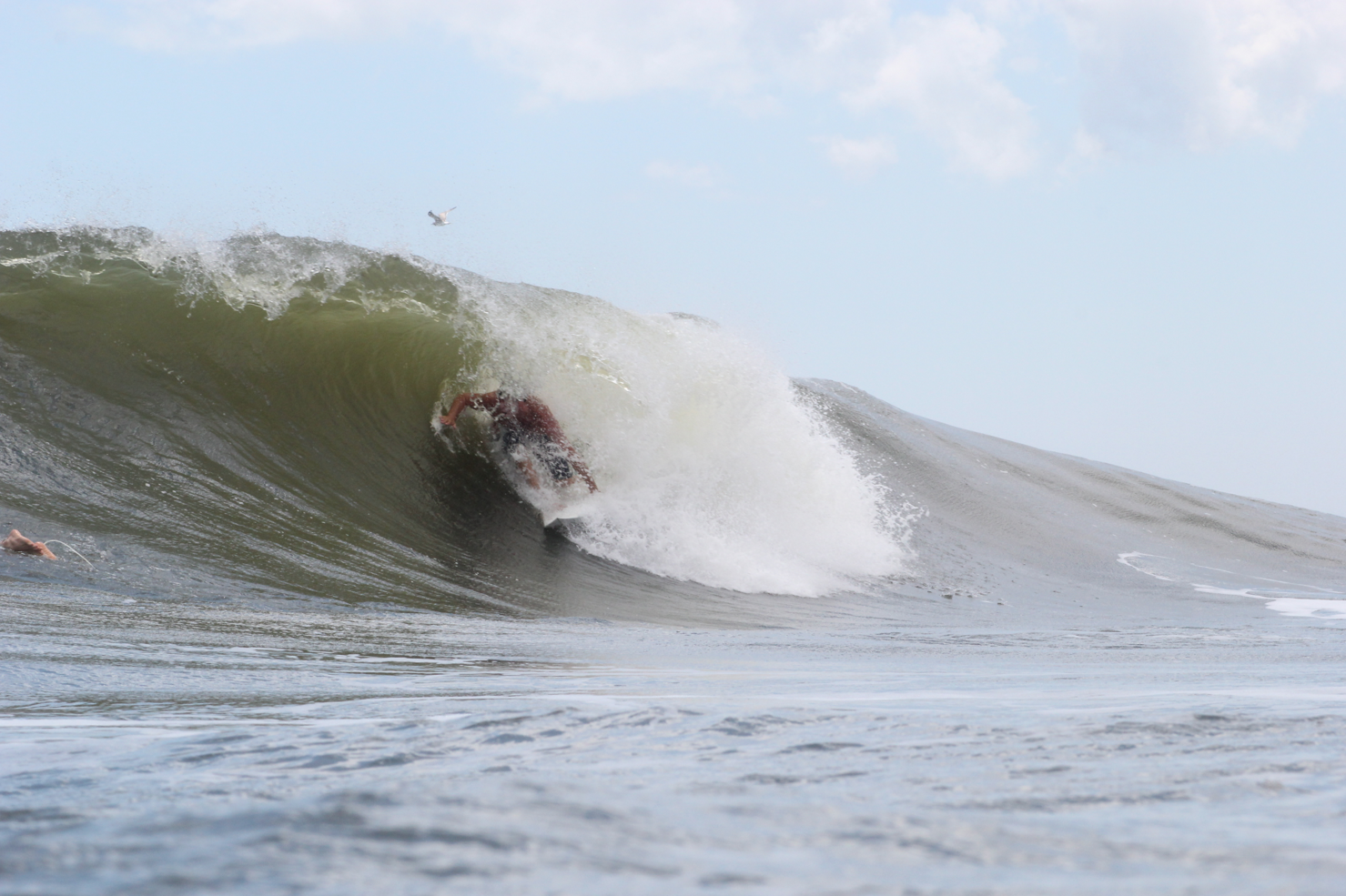
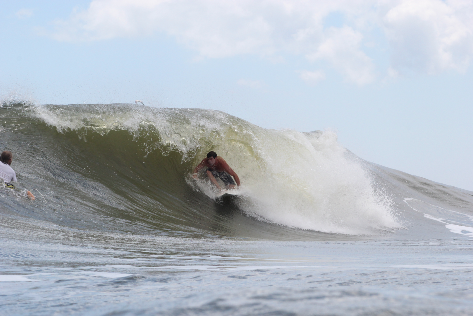
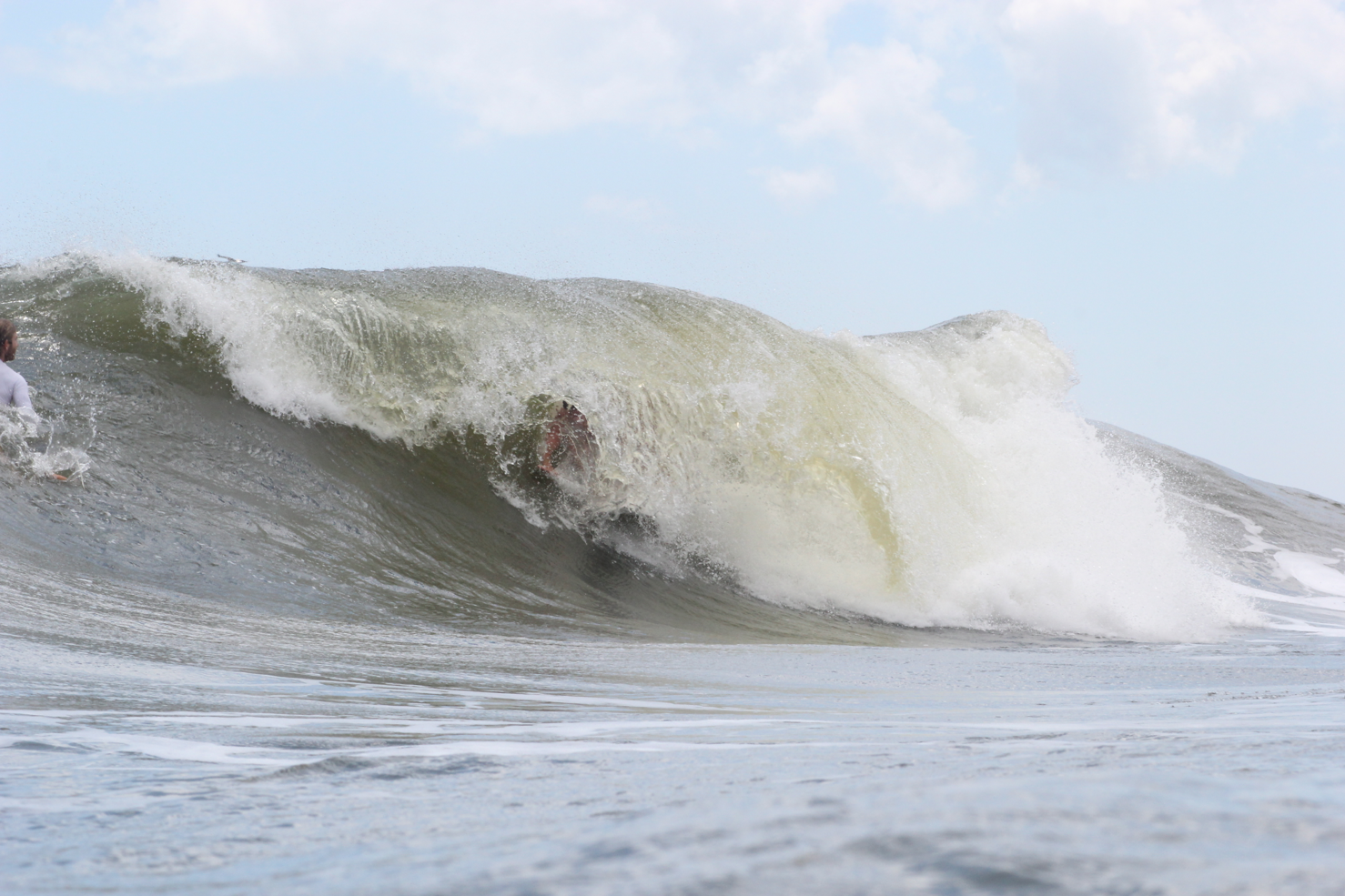
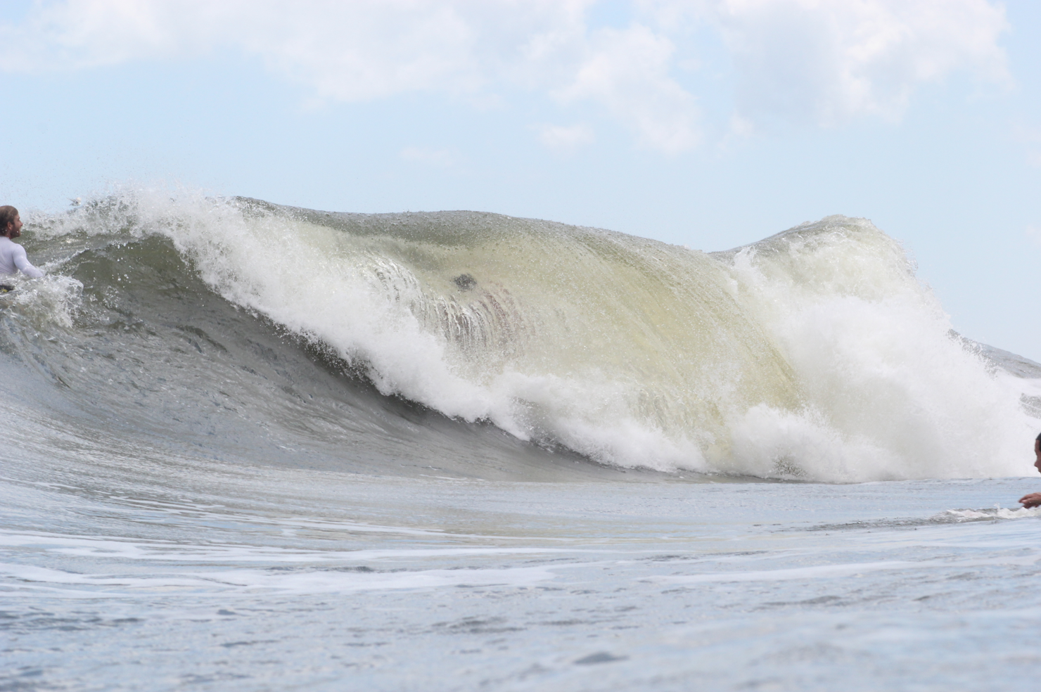
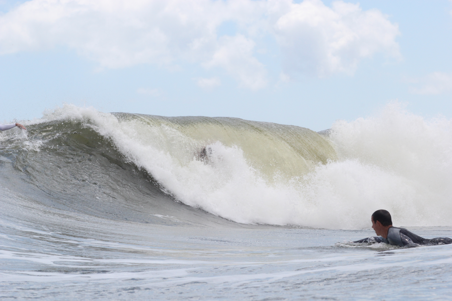
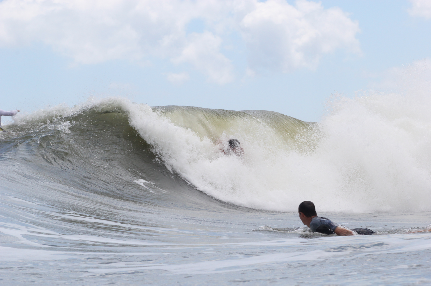
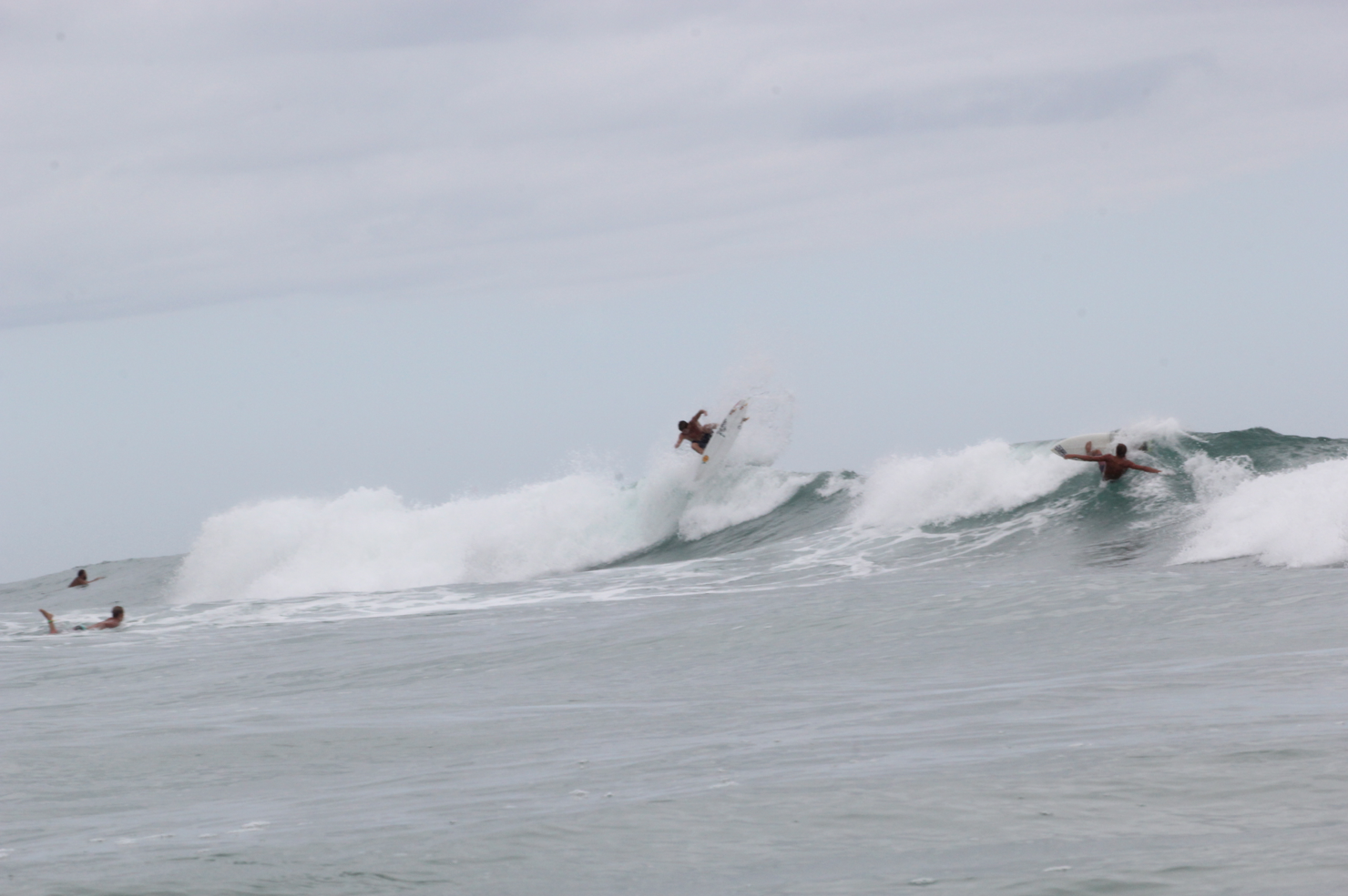
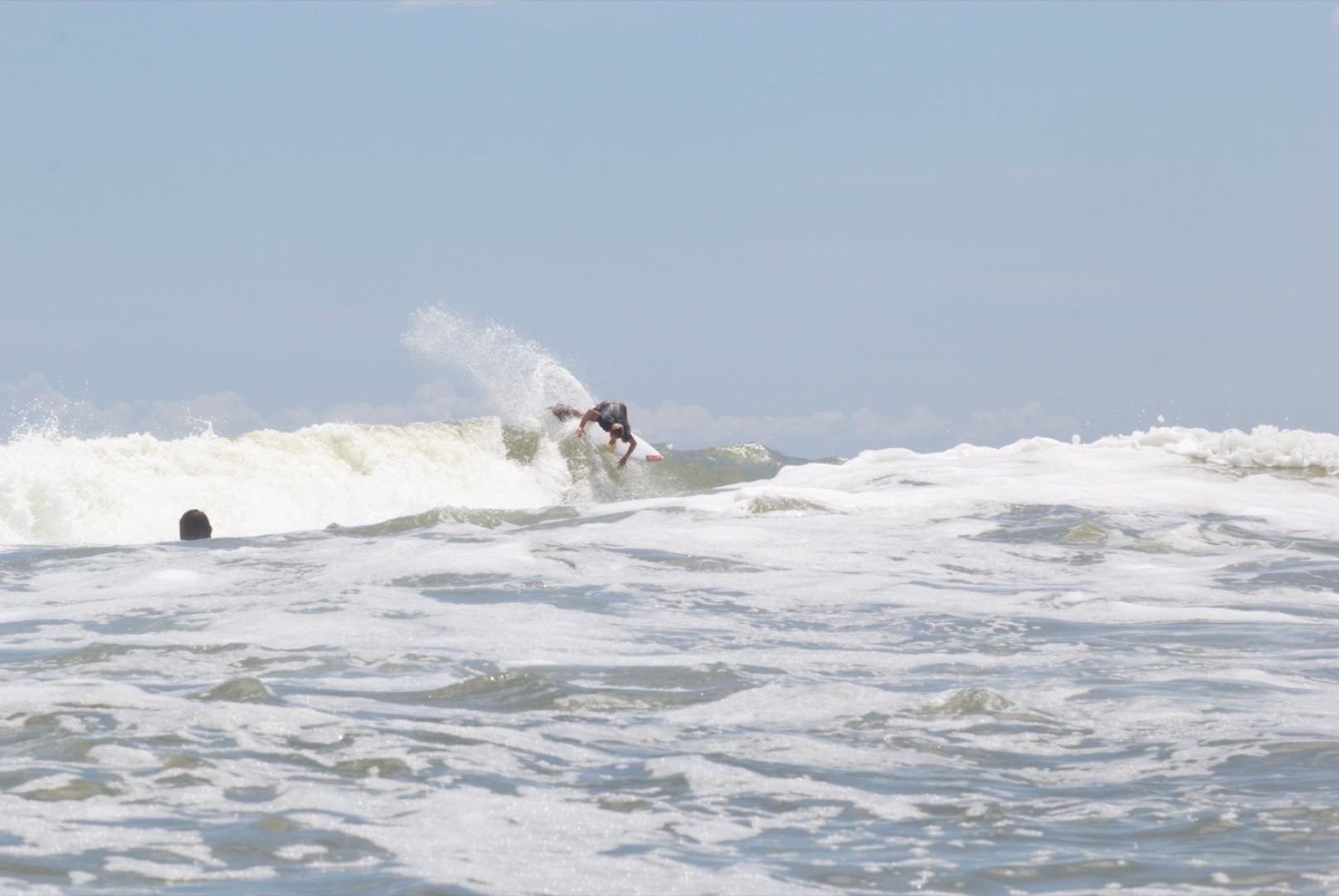
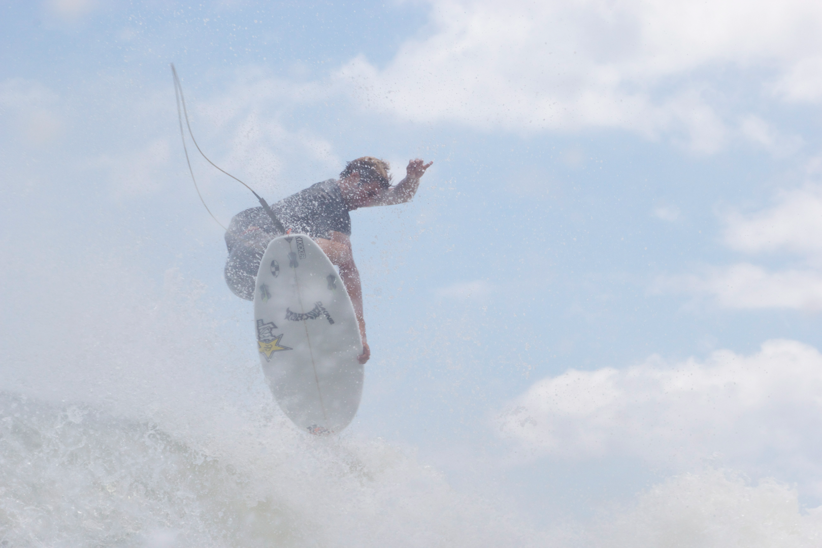
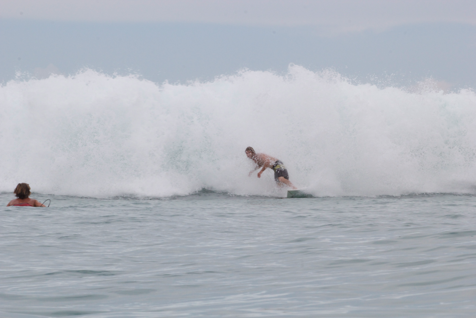
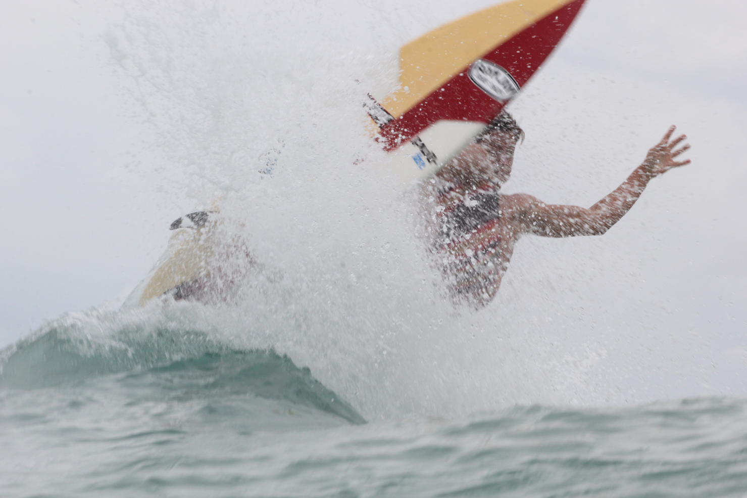
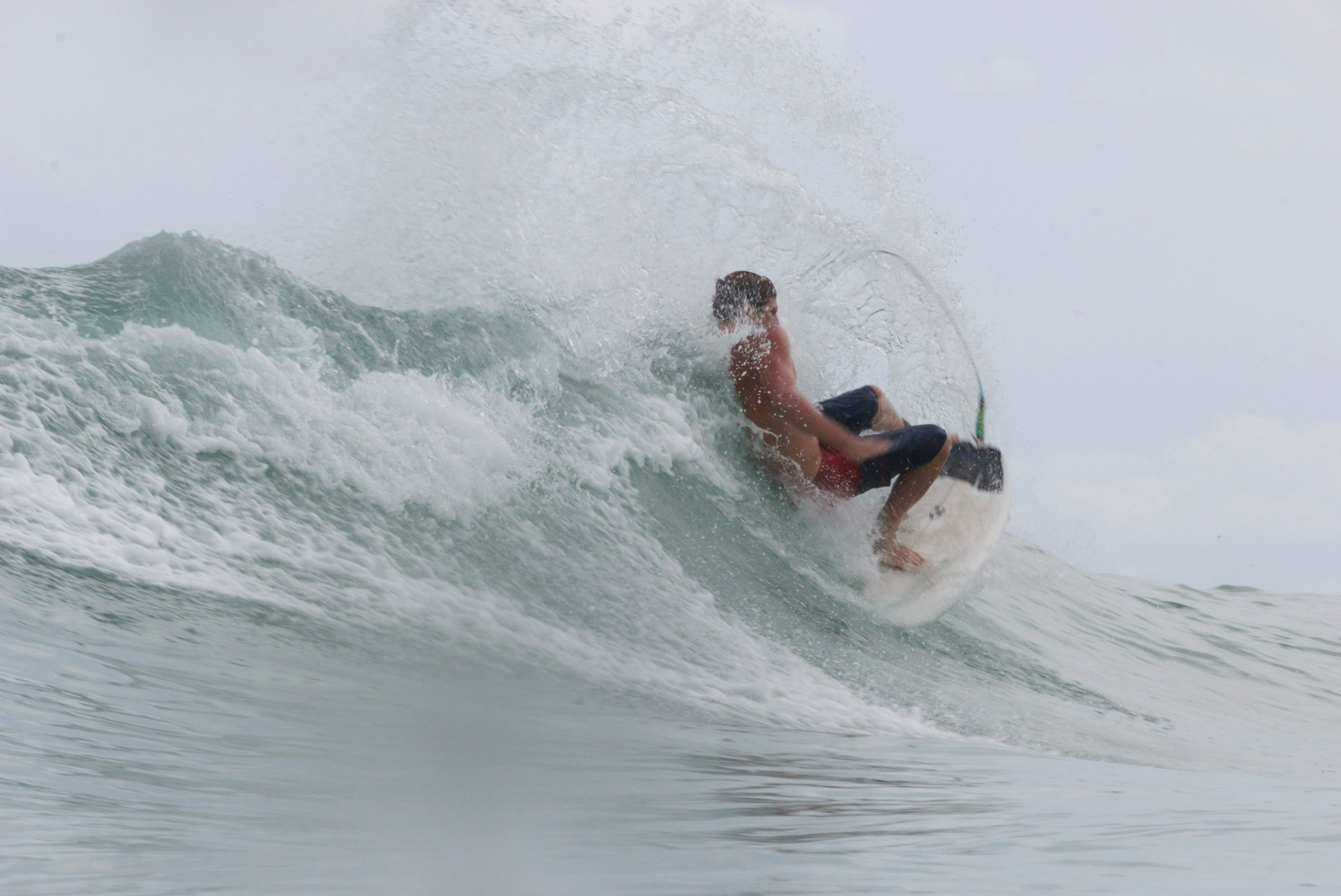
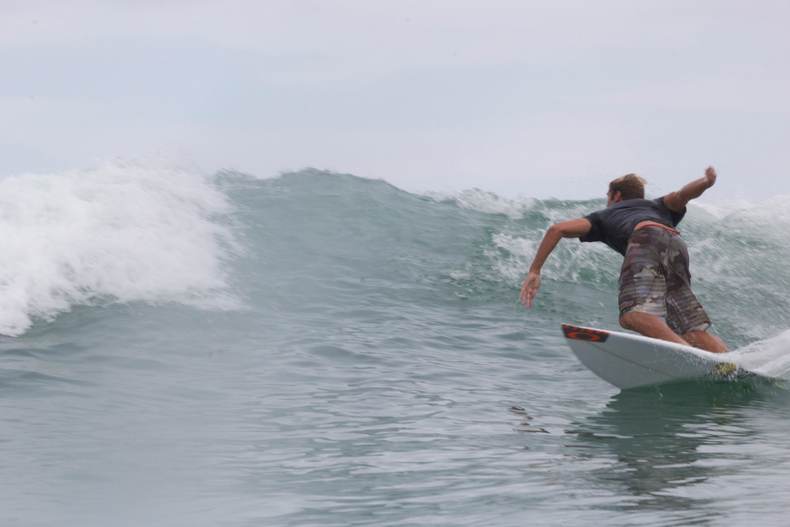
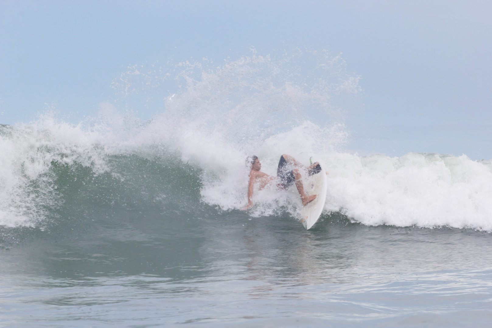
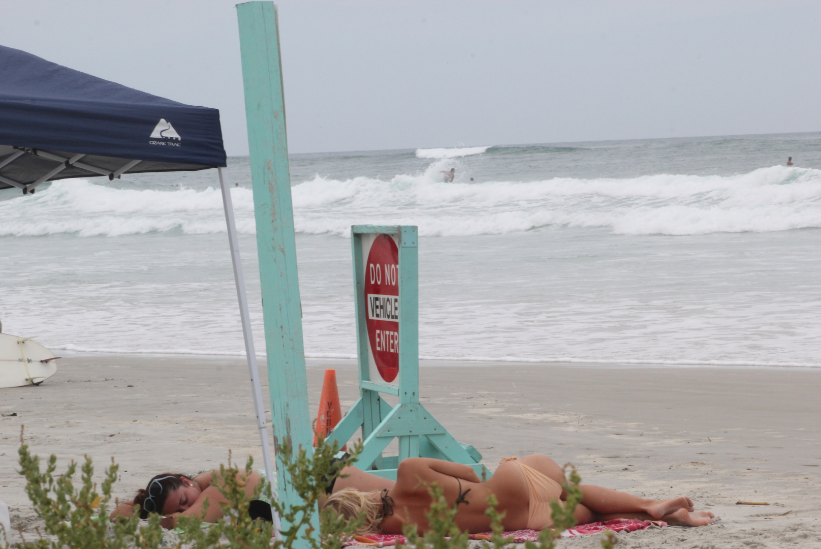
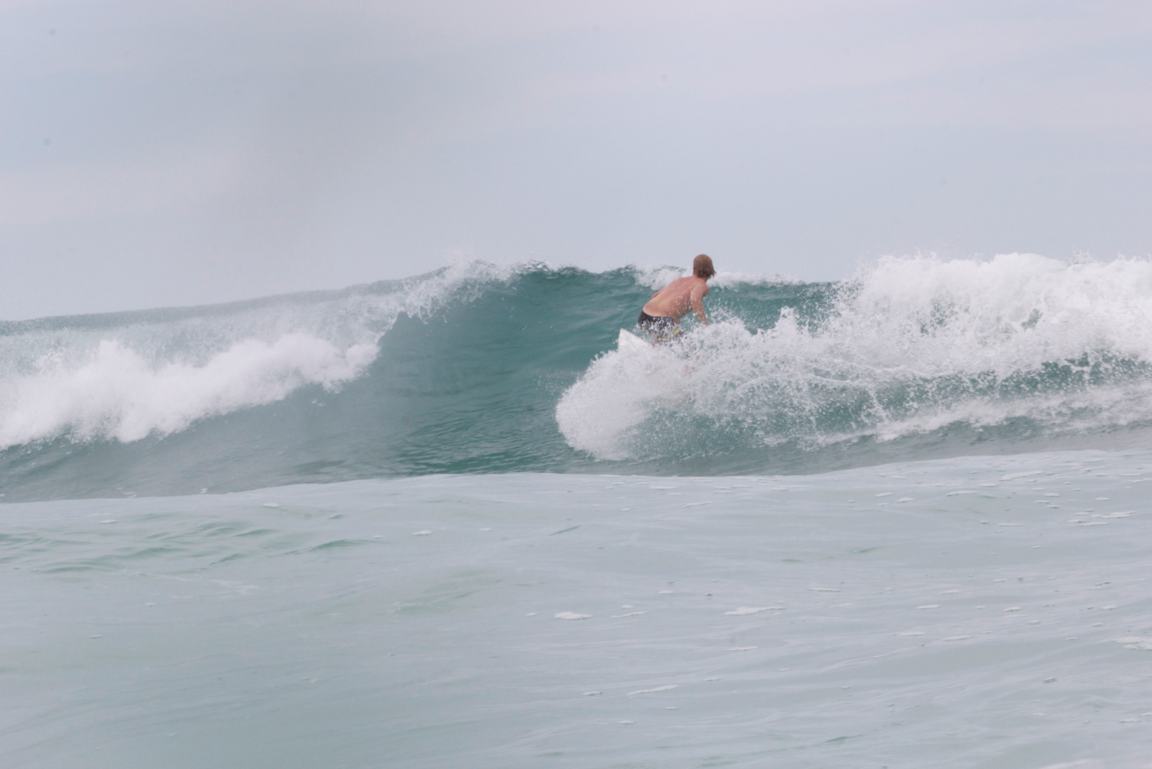
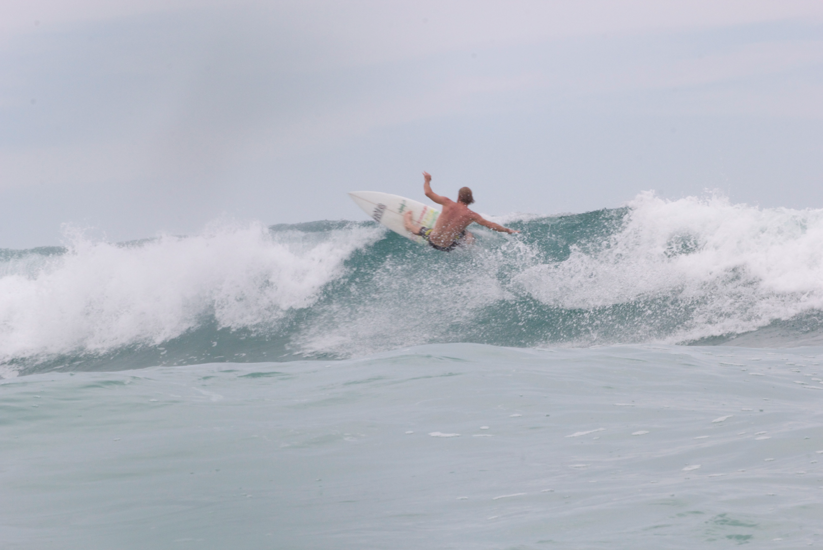
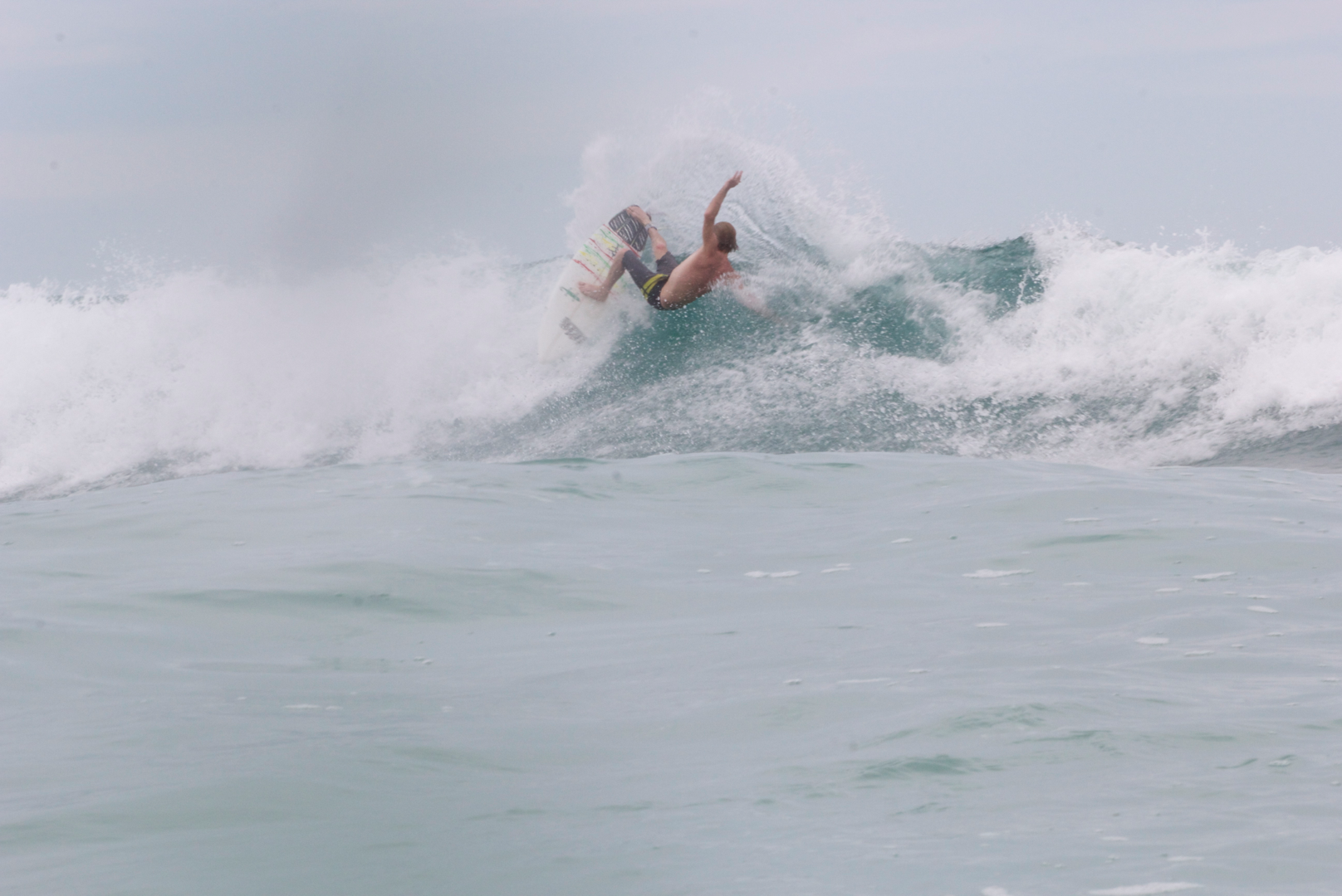
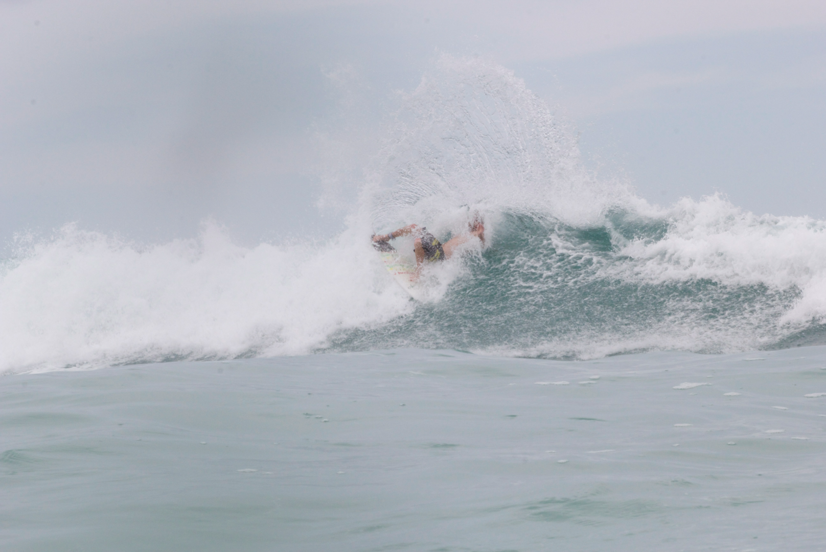
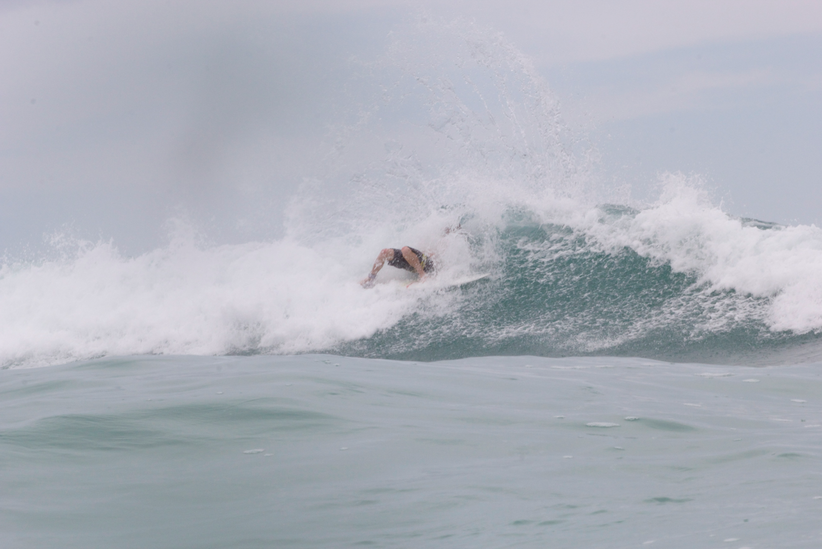
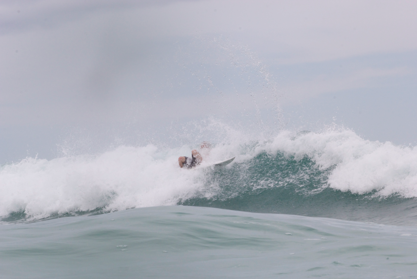
Overnight on Monday the bouys jumped as high as 5 feet at 13 seconds from the south. The waves that arrived to the beach on Tuesday were only chest high+ in the morning. The best beaches for south swells performed the best in the morning on Tuesday. Through the day the swell direction became more from the west and from the north, allowing different beaches to shine in the afternoon and evening. Monday and Early tuesday the storm was also further south, so central florida was receiving a lot of the energy. Sets in central florida were over head high+. As the storm moved northward, north Florida beaches began to fill in with sets overhead high. As the evening drew on Tuesday the sets became less consistent and smaller than earlier in the day. As Tuesday went on the storms intensity and sustained winds dropped down to 50 mph, which recategorized the storm as a tropical storm.

Once the storm moved toward the north, making it’s trek into the northern atlantic, exiting the East Florida wave window, it collided with a cold front. This cold front created cooler temps behind it, leaving the storm in in a cooler air mass which is less conducive for development. The system is now post-tropical. The last tropical advisory was issued on Wednesday August, 06 at 11am.


