This Wednesday is holding on. Go up to north beach or crab hole Wednesday for a fun little swell. The winds look about 10 knots at the coast with stronger winds offshore. I never know what the actual skies will look like because NOAA and the NWS who support the forecast never seem to get it right. The south swell being forecast by Micah doesn’t look to me like it will fill in in north Pinellas County. Wednesday is a lock with this model showing 20 to 25 knot winds offshore. That would create some good surf, so we should at least see a fun little longboardable wave.
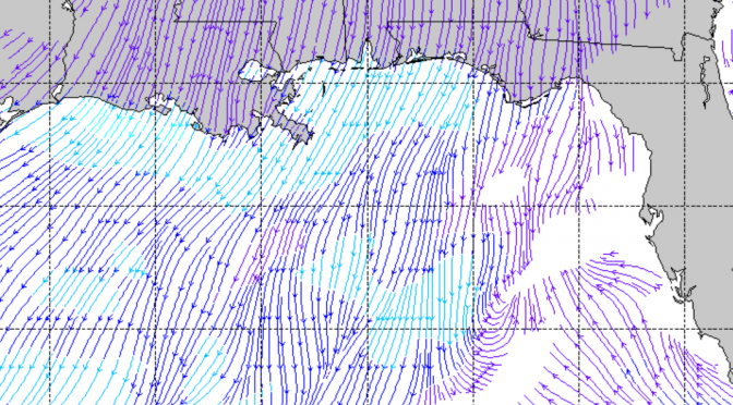
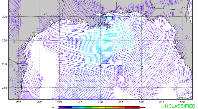
Here’s the south flow showing up on the Navy model for Tuesday. That looks like a complete skunk this afternoon. Sure, head on up to the panhandle for some head high surf, but not here. 5 to 10 knot south flow is just not going to do it.
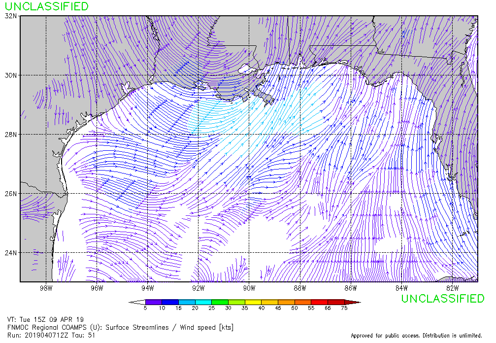
As night falls we’re seeing the west winds reach their highest speeds. Especially at zero hundred hours on Wednesday we see a substantial west wind field. That shouldn’t take too long to get here. 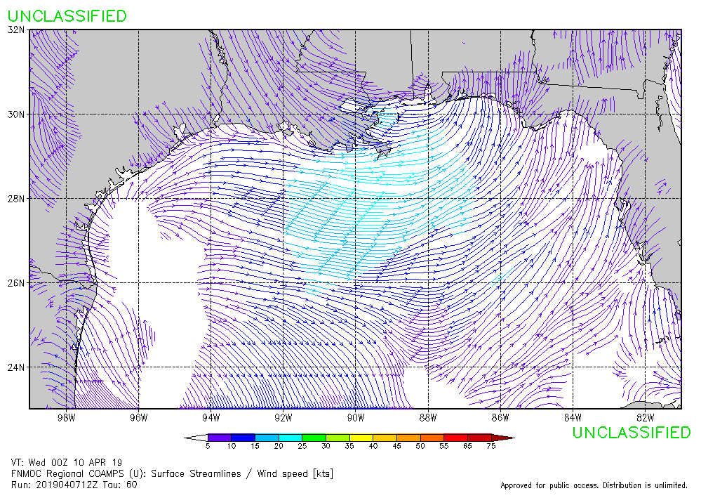
That wind field seems to be lingering in the gulf, right in the ideal spot. The frame below from twelve hundred hours is enough to keep the surf going into the evening.
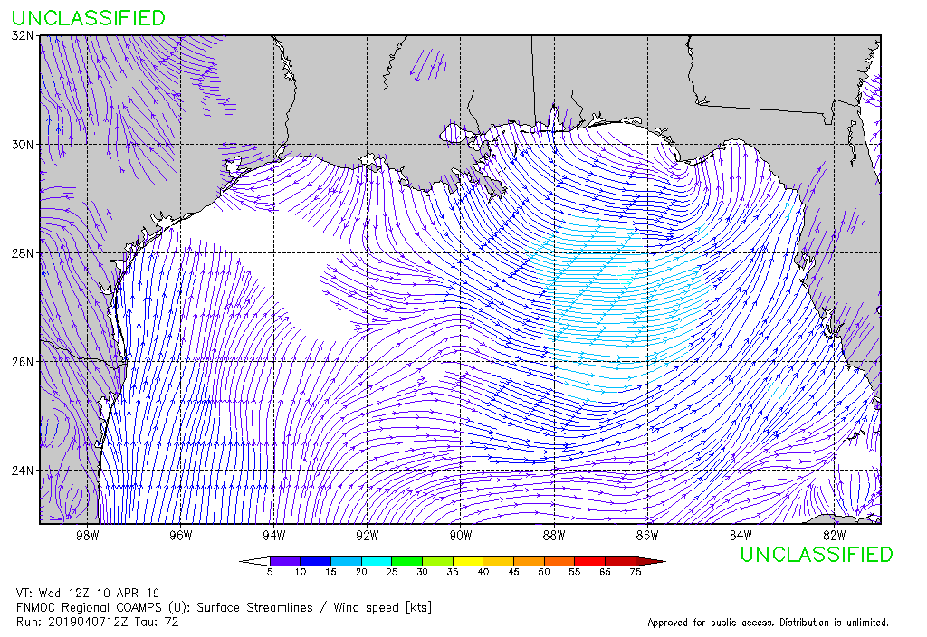
You’ll also note that through the duration of this swell the stronger winds are holding offshore while the winds at the coast are milder. The model run I’m looking at here makes this upcoming swell look like a great swell. The forecast is calling for a mostly sunny day with a high near 80°.