Hurricane Irma is still headed for the state. On a positive note, yesterday afternoon the NHC and GFS model track shifted to that surfing scenario I was talking about in the Hurricane Irma path of destruction article from Monday morning from the forecast at that time. The path was for the storm to travel towards the southern gulf down by the everglades; the eye was forecast to travel up along the west Florida coastline. The thought of this intense storm making landfall through the west side of the state has created a mass buying frenzy.
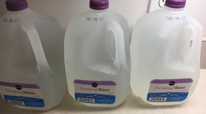
In doing my regular shopping yesterday afternoon I encountered some really unusual things. To start, both Walmart and Publix at multiple locations throughout west Florida are out of bottled water. Reflecting on this is sort of humorous. The state is going to be having a problem with constant, heavy rain, and really for only a period of about a day or two. We are going to be drowned by a massive storm, and we buy water. Sort of silly if you think about it. However, there probably is some logic to it. No one wants to be out in this storm collecting rainwater, and if the storm is severe enough tap-water could end up contaminated with pollutants. It’s a good idea to be prepared.
5:30pm update: I just got 4 of the last 6 gallon jugs on the Publix shelf. Walmart was still out of water.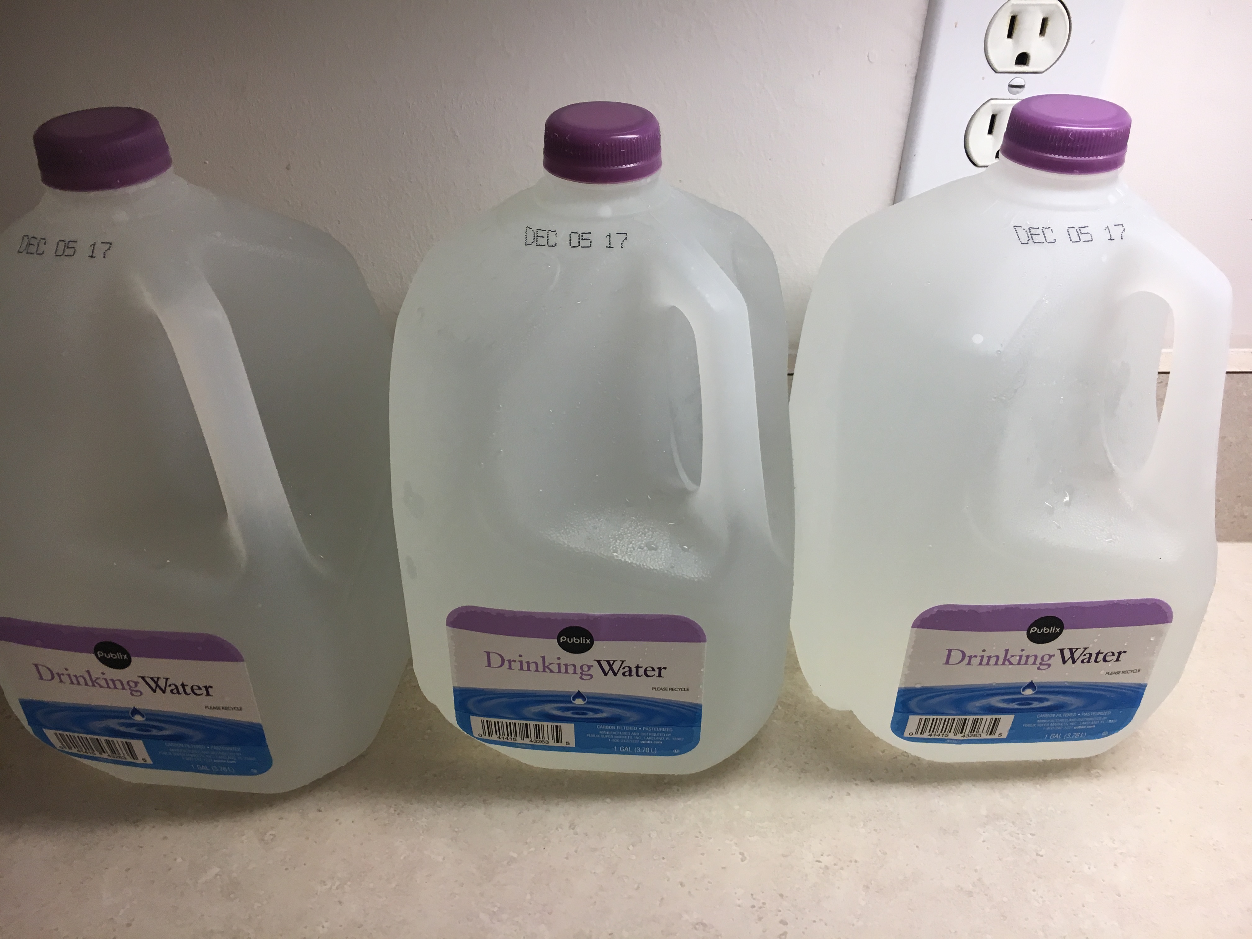
Also, in my regular activities of daily living yesterday I noticed the gas stations filled with cars. There was a short wait to get gas, because every pump had a car filling up. At the time yesterday, all the pumps were still functional, and there didn’t appear to be any shortages, although, this morning local news channels are reporting gas shortages throughout the bay area. If you stop to fill up, you’ll also notice the spike in gas prices, reportedly from Hurricane Harvey.
This afternoon I’m looking at a storm cone by the National Hurricane Center that brings the storm a little more east than previously anticipated, starting near the Keys and Miami on the south east coast of Florida. The track pulls the storm back offshore around the Cocoa Beach/Cape Canaveral area midway up the coast. The NHC reminds people that the strong winds that encircle the eye can extend far from the eye. The storm currently has hurricane-force winds extending outward up to 50 miles (85 km) from the center, and tropical-storm-force winds extending outward up to 185 miles (295 km). Taking caution is a great idea, because there’s still a fair amount of uncertainty regarding the exact timing and location of the eye’s turn to the north.
With this current track I’m still expecting surf. As surfers of the gulf coast many of us are familiar with surfing in wintery gale force winds associated with cold fronts. That’s what brings the biggest surf most often. We could have similar conditions on the outskirts of this storm. Strong and gusty onshore winds, bringing big surf to the protected spots is expected. Afterwards, there could be a really fun window of surf with light onshore winds after the storm pulls back into the Atlantic on Tuesday morning. But like mentioned above, the storm track is still somewhat uncertain, so we need to be prepared for conditions that you shouldn’t be out in. I’ll have more on the surf report when the storm gets closer.
Some things that might be useful if the storm adversely impacts your area:
-Water
-Food/Juices
-Fuel
-Non-electic Can Opener
-Paper Plates/Plastic Utensils
-Seasonal Clothing/Rain Gear
-First Aid Kit/Medicines
-Hygiene Items
-Flashlights/Batteries
-Battery-Operated/Crank Radio or Weather Radio
-Cash
-Toys, Books, and Games
-Important documents/records in a waterproof container – soc. sec. card, birth certificate, medical records, banking, insurance, etc.
It seems that everyone is preparing for the worst, and hoping for the best. If you plan for the worst you’re likely to be pleasantly surprised.


