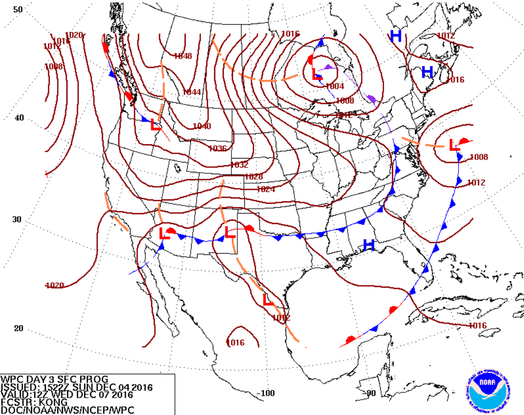
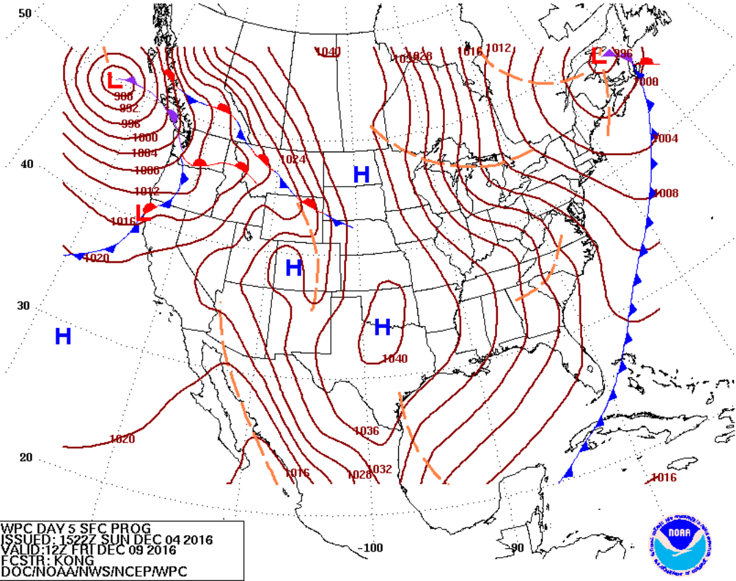
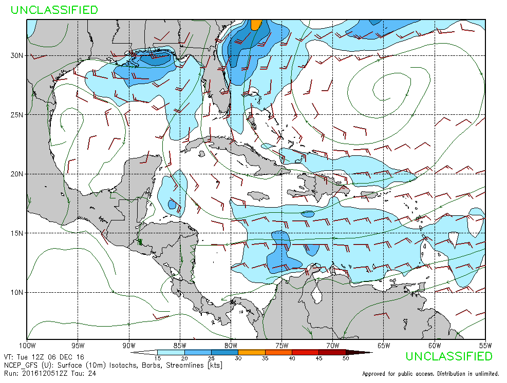
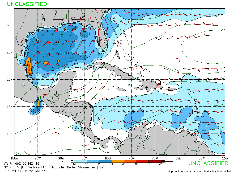
There is great news as we start the week. Two surf producing cold fronts are on our doorstep. The only drawback is, the second one is going to be rather cold. One front is moving through our area during the evening tomorrow, on Tuesday. The trailing front moves through on Friday.
 .
.
Surf
Tuesday: Tomorrow, surf fills into our area. The buoy should get up around 4 or 5 feet. It looks like long period swell. The afternoon will probably be bigger. Mostly cloudy. Sideshore, southwest winds.
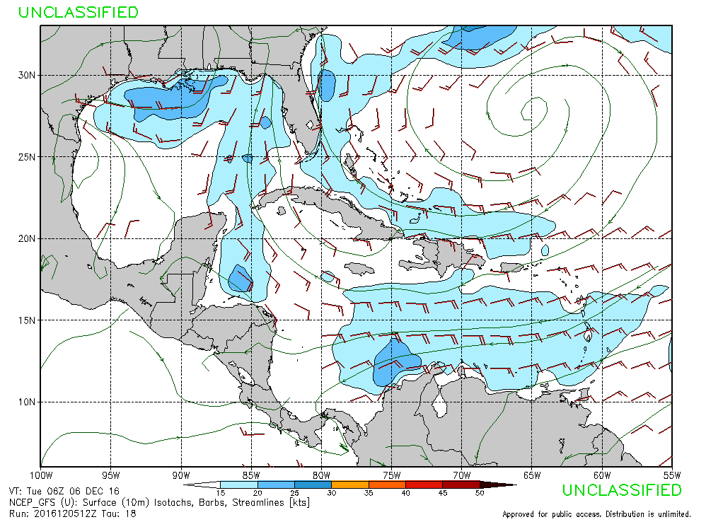
Friday: Friday the winds are really strong, up to 25 knots. The seas are forecast around 5-7 feet. The surf won’t get that big, because the winds are almost northeast. The SWAN model isn’t picking up much at all for Friday, but with strong winds like that we are sure to see some semblance of shortboardable surf. Partly cloudy. Sideshore, north winds.
Air:
Behind the first front we cool off about 8 degrees, and then behind the Friday front an even more significant drop. Cold air is blasting its way through the plains, into the south. During the second front, the day-time air temperatures could fall into the upper 50s. The lows drop to the low 40s.
Rain
Expect rain overnight tonight and tomorrow in front of the first front. The rain chances are around 70 percent tomorrow. South flow has a tendency to do that. There is another shot at rain later in the week with the second front, but the chances are only around 30 percent.
Water Temperature
The water is just under 70° at the Pier 60 weather station in Clearwater. It is reading 69.3°. Venice is at 71.2°. It will definitely be going down after the front at the end of the week. The water is likely to be, at least, in the mid 60s by the middle of next week.
Tides
2016 Sand Key Tides
The sun is still rising around 7am, and setting around 5:30pm.
Discussion
December is here and with it comes cooler air. These two fronts appear to be a product of a much cooler air mass plowing through the country. Tomorrow looks like it has the potential to be a really fun day of surf. The west swells are the best swells for the entire coast. The water and air temperature are nice and warm. On Friday the temperature could limit your session, even in a fullsuit. Florida winter is upon us.


