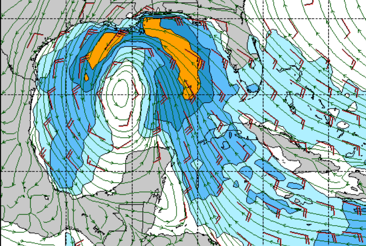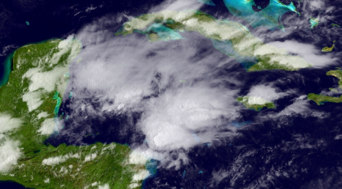
The low pressure system situated just below the Yukatan Penninsula is becoming better organized today. It’s moving slowly towards the northwest. Tomorrow the system is expected to be over the southern or central Gulf of Mexico. The system is expected to bring with it southeast winds at first. During this time we should have small surf and clean conditions. There are already signs of swell. Tuesday could be really fun in the morning with offshore winds. Then, Wednesday, and Thursday should be good too. Expect an extended window of moderate south and south southwest winds. The size and quality will depend on what happens once the storm enters the gulf, how tightly the system forms around the eye, and how quickly the storm is moving. Check the cams and buoys as things progress. I’ll also be bringing you the Surf’s Up Surf Report each day of the swell. Stormy weather starts this afternoon and goes through the next week or so from the low. Expect bands of stormy weather with intermittent windows of blue skies.