I was just taking a look at their forecast. It looks pretty damn detailed. There’s way more detail than the navy’s model I have linked below. It might be worth swapping links out. This one actaully looks like a weather map. There’s still the question I have: How accurate is the weather map/model?
So…
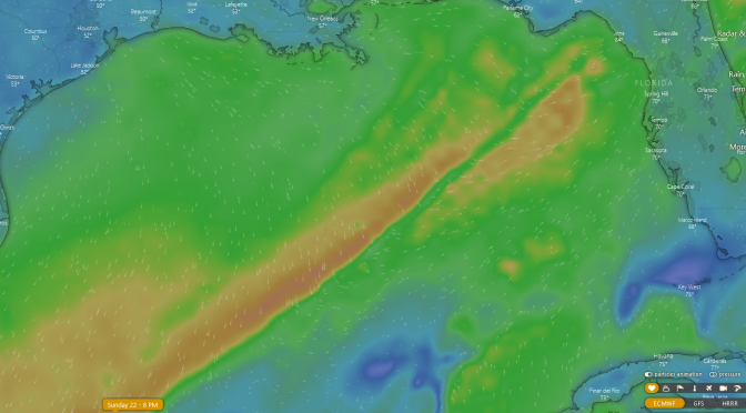
First the front just kind of comes up out of no where. It just appears right about here.
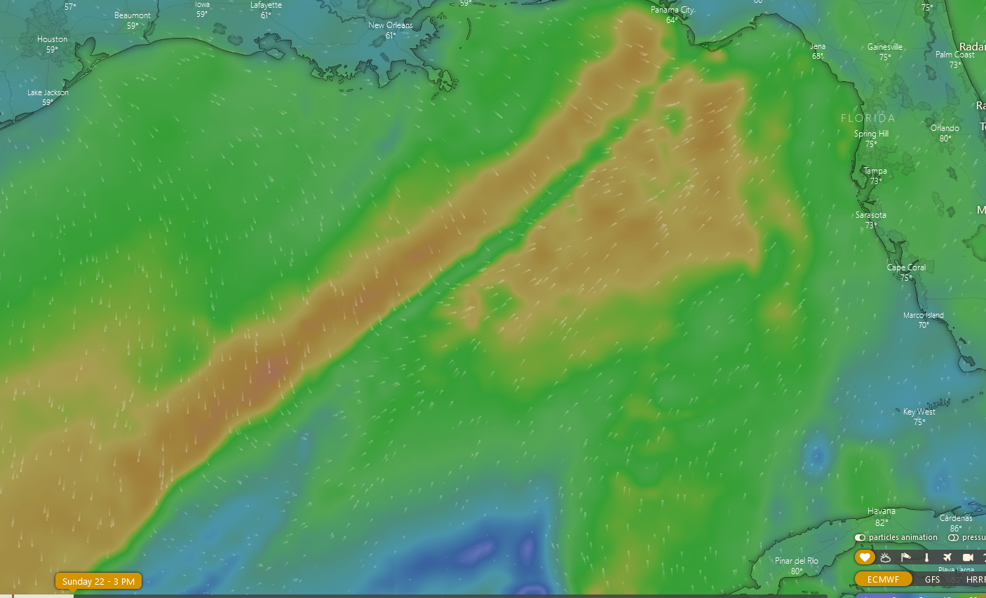
It kind of edges a little closer and appears to stall out. At the place where it stalls out it looks like the front will be throwing a mix of west southwest swell and northwest swell at our beach.
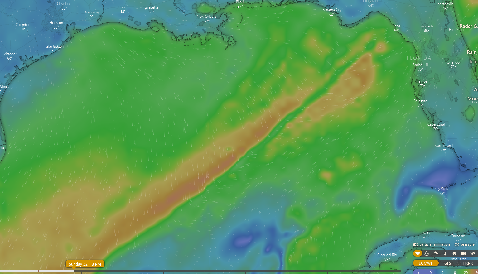
Everything kind of mellows out in the gulf. They’re saying a background blast is going to come through after the frontal boundry kicks up some wind.
The background blast starts up around where the northern part of Florida is. It edges towards us and stalls out too. So we get the winds, but it appears to die offshore in this model.
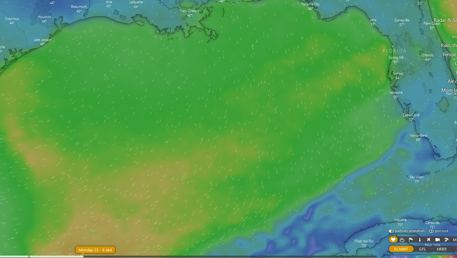
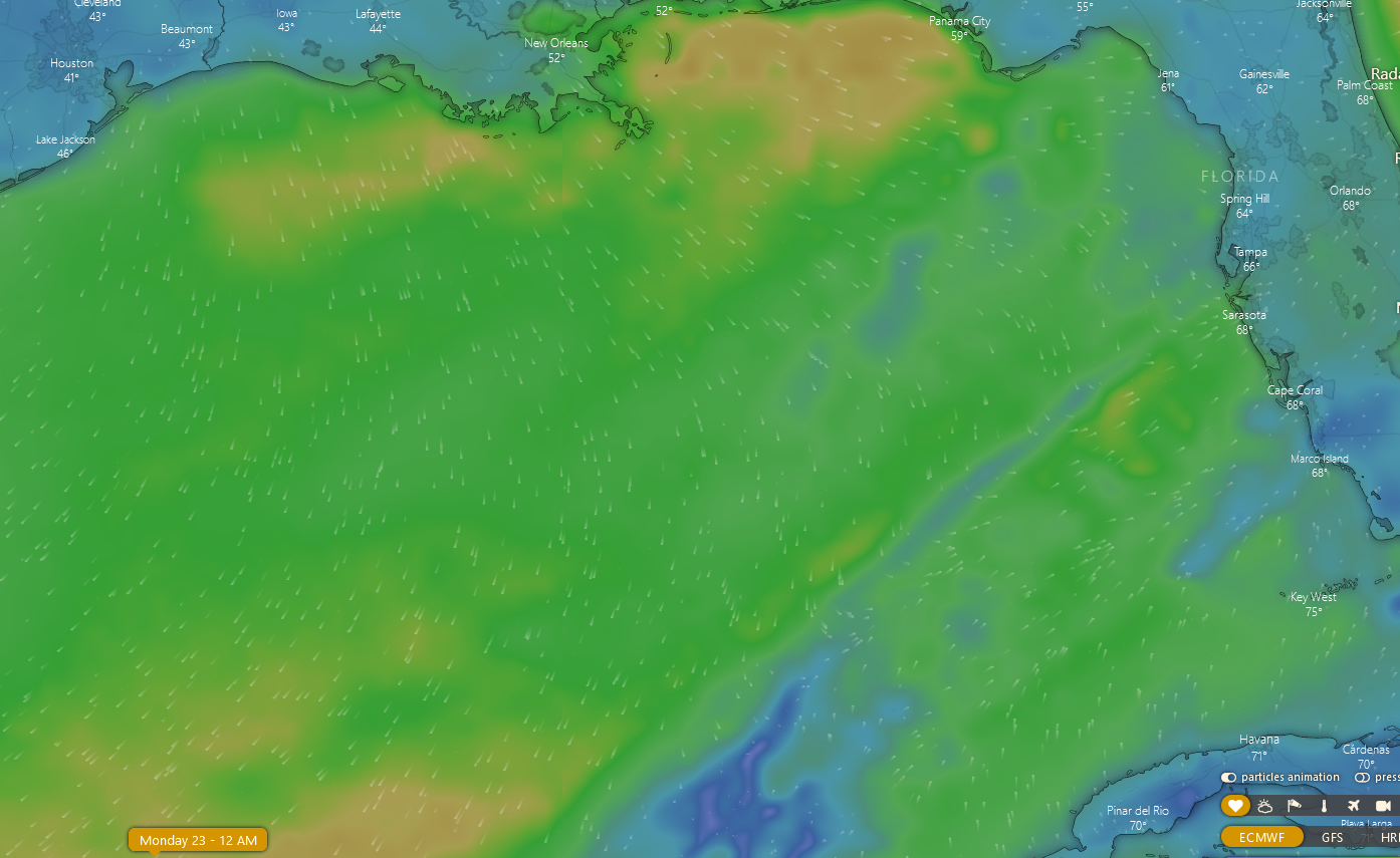
So by about 9 in the morning on Monday the winds are showing up as pretty much gone in the gulf or very light. Looks like Monday morning could be pretty fun. Leave a comment and let everyone know if Windy comes through with the on point forecast.


