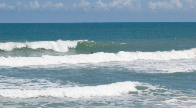
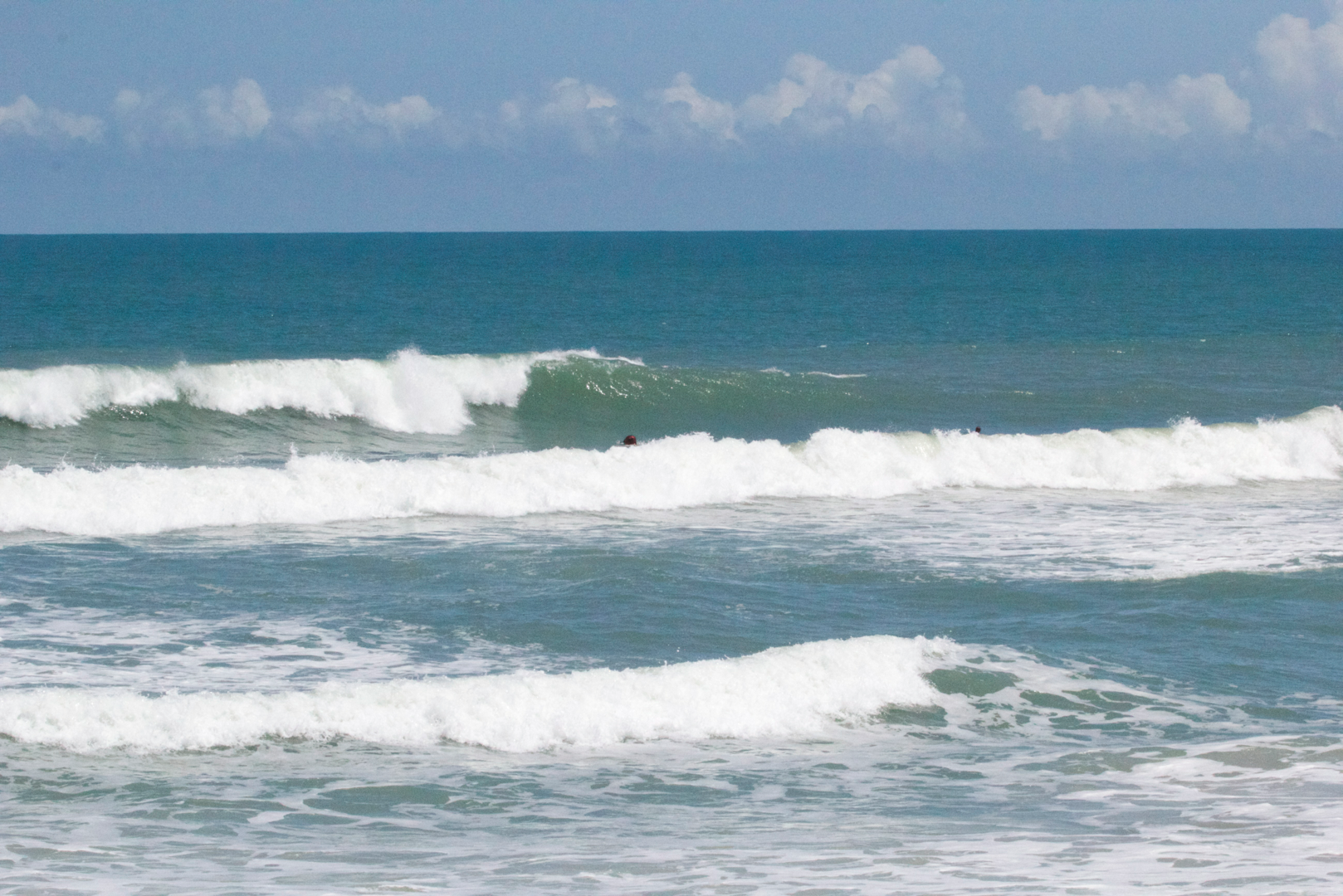
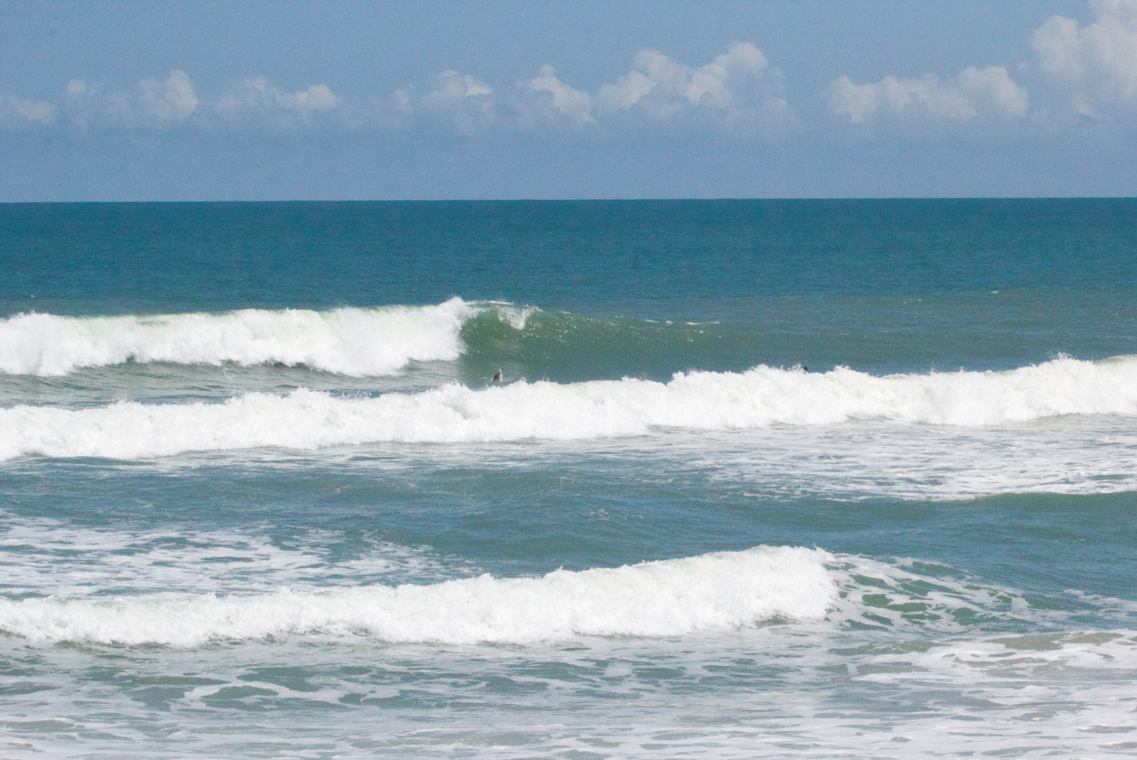
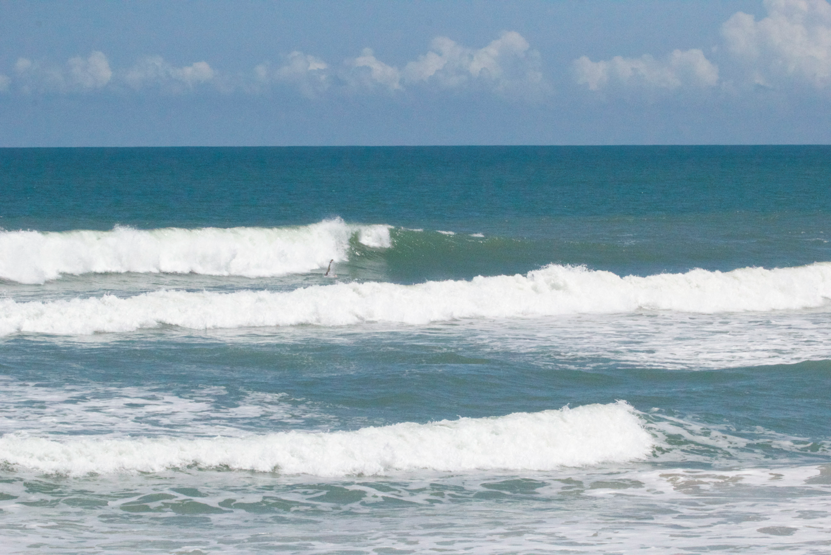
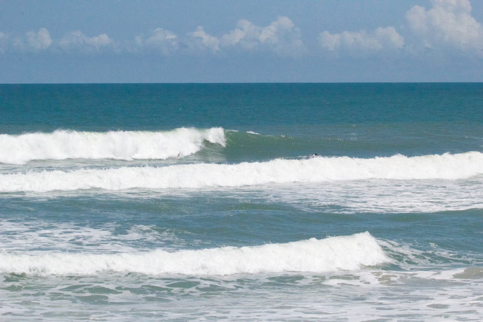
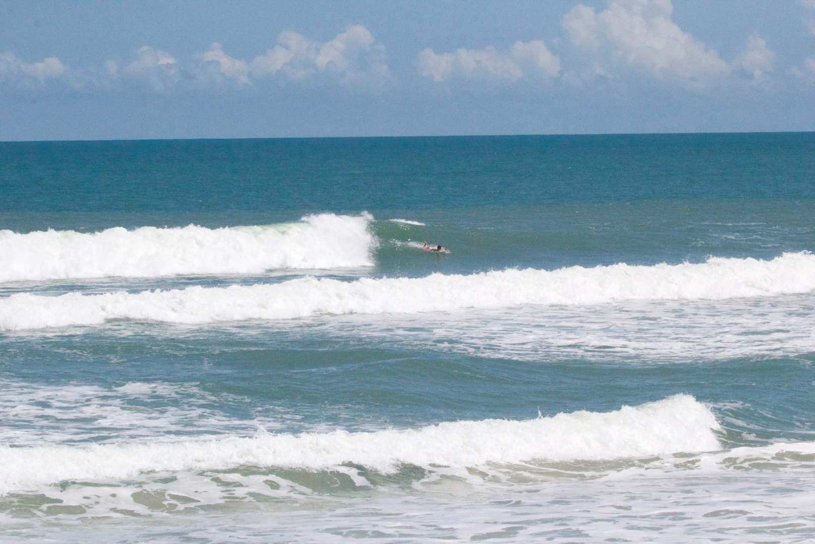
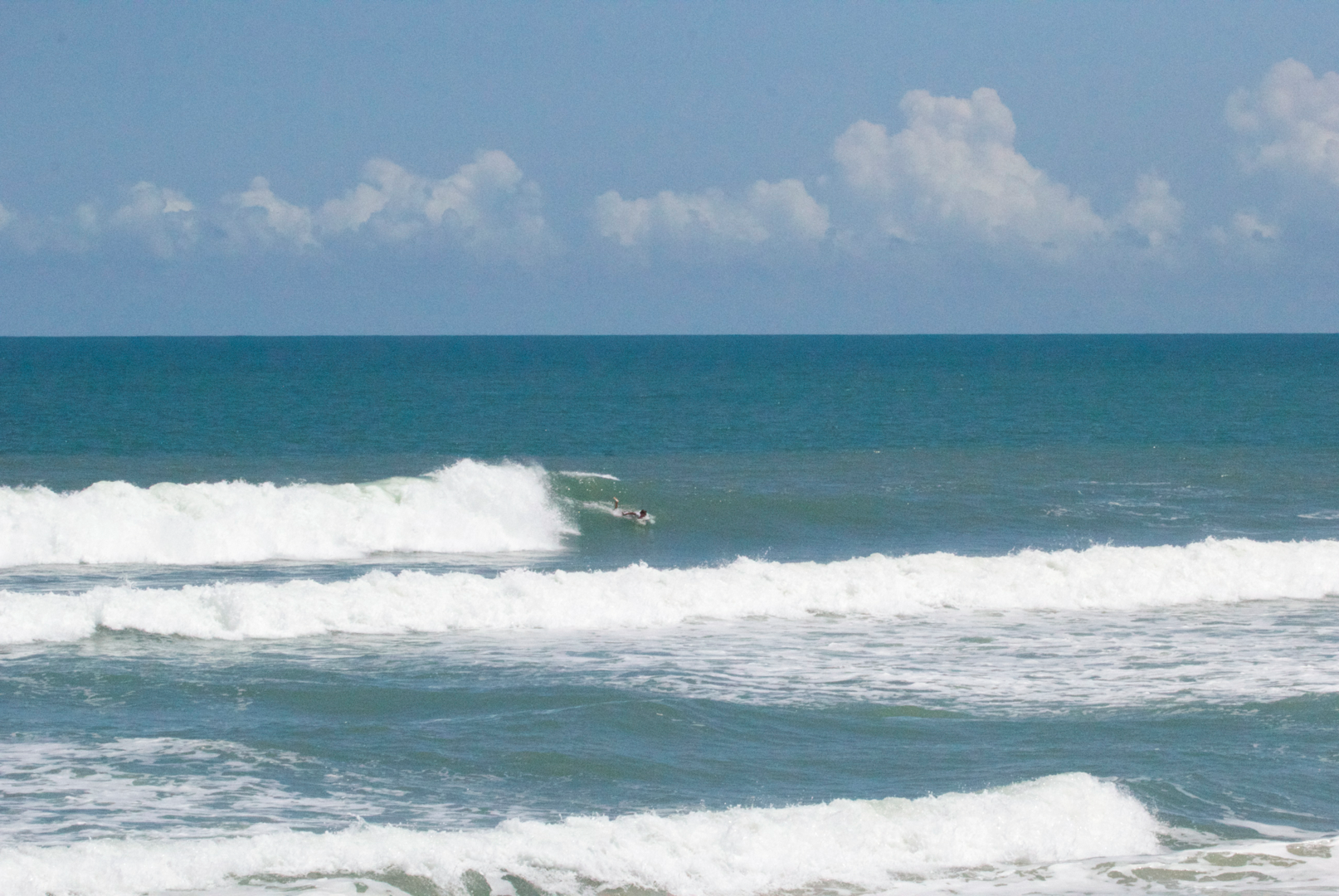
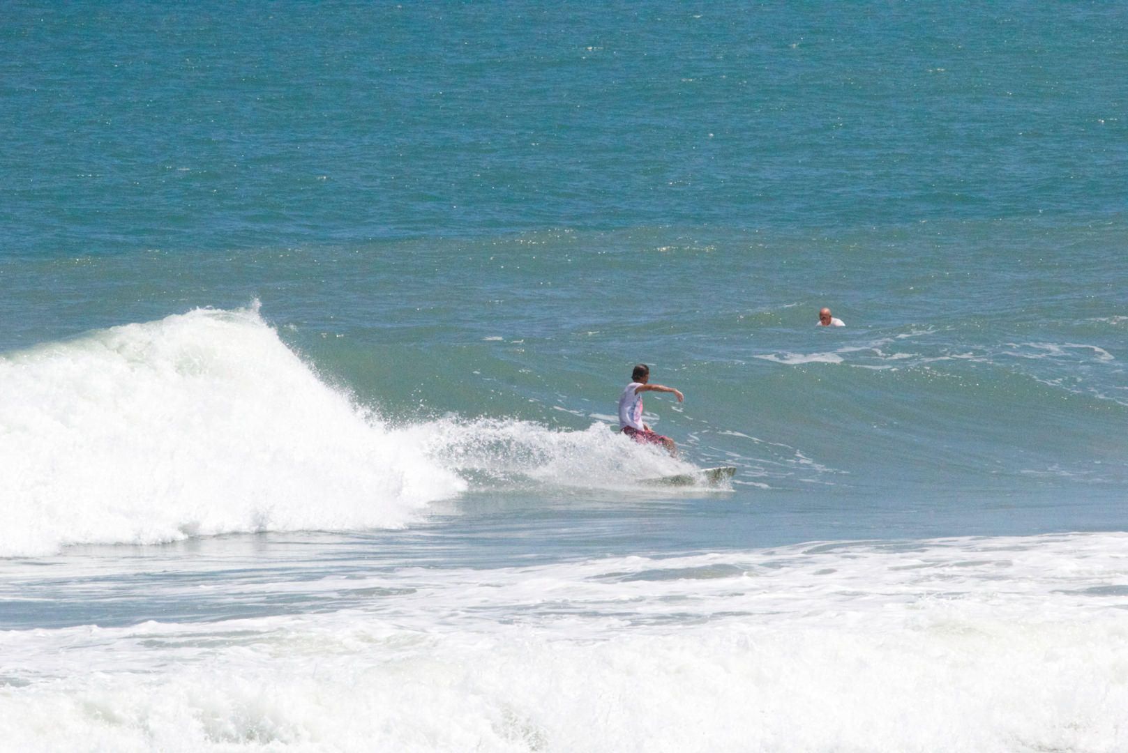
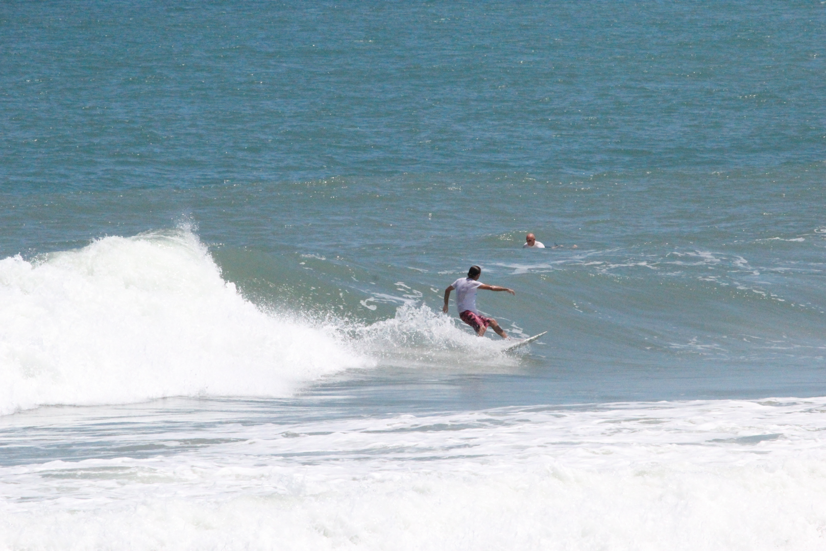
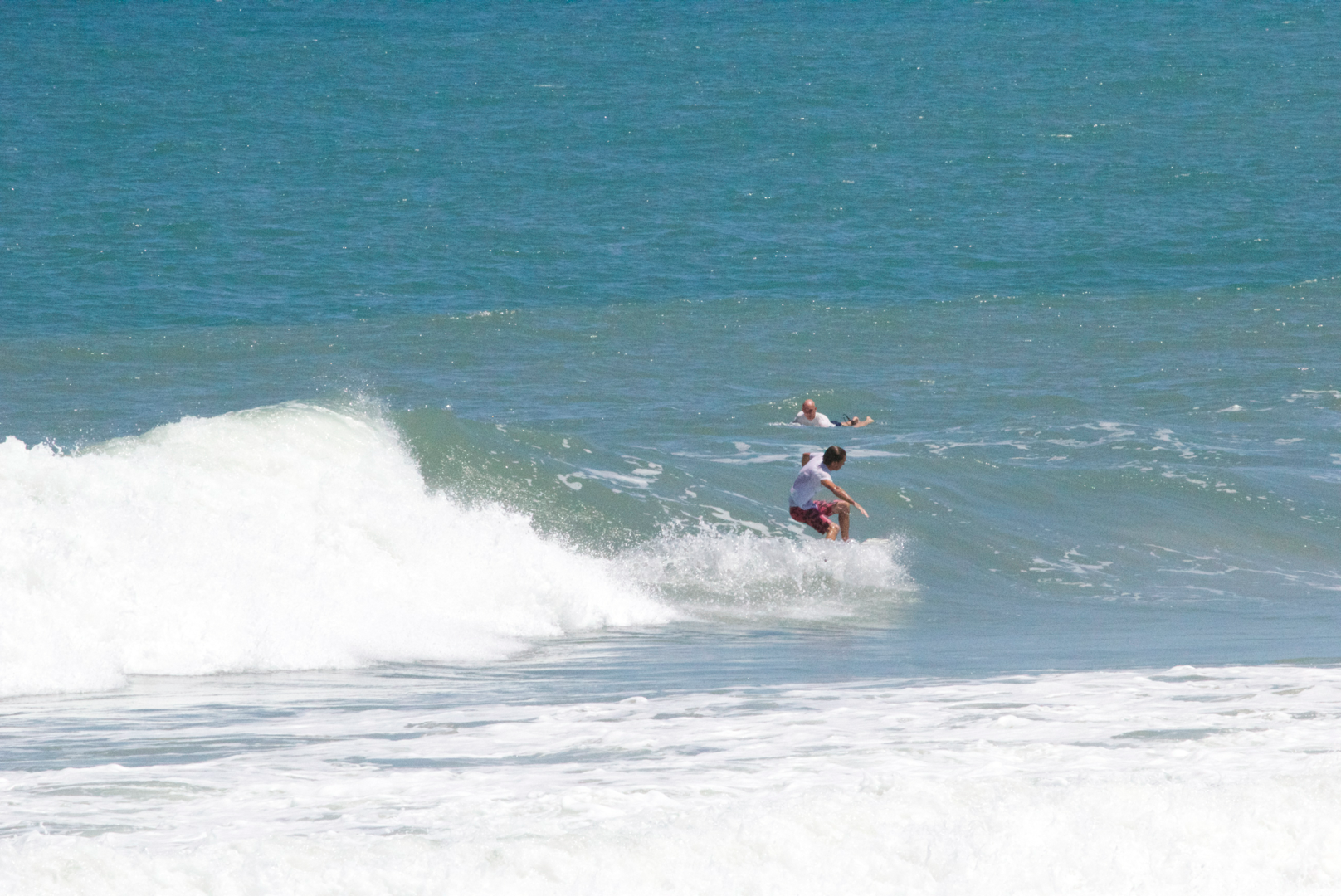
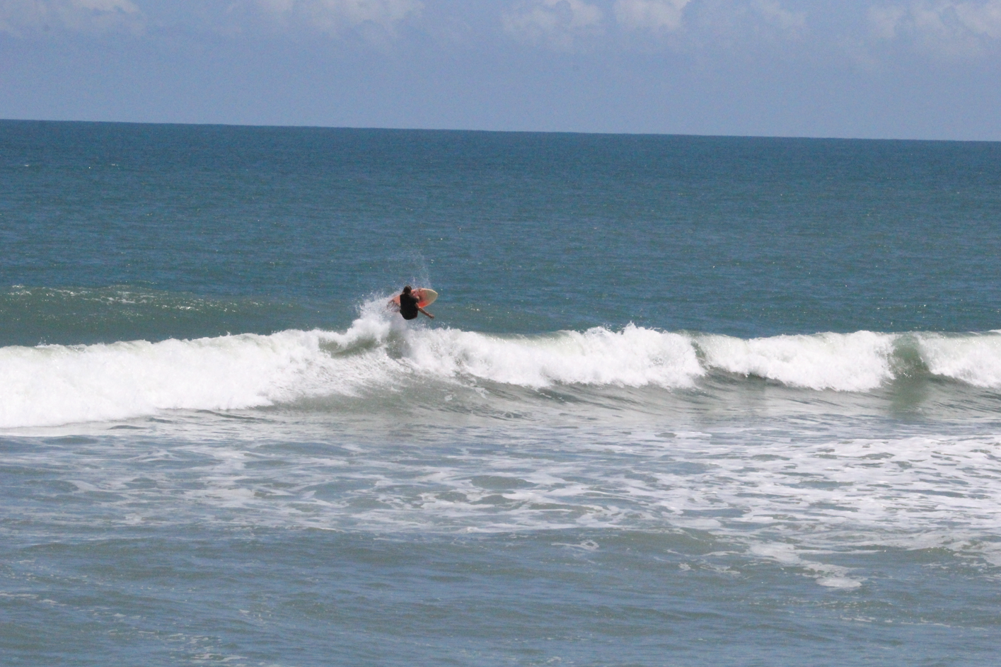
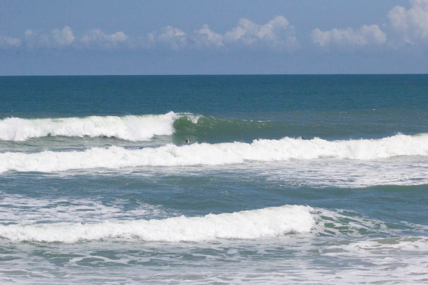
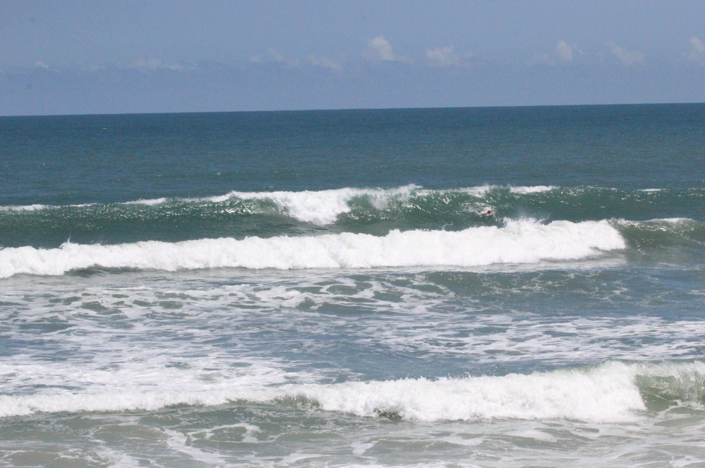
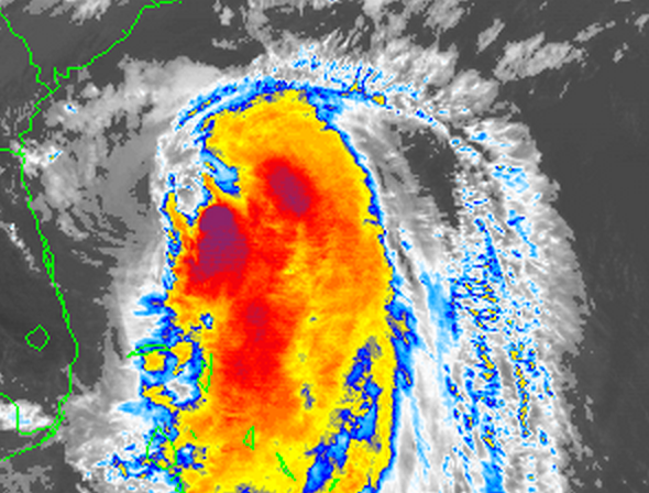
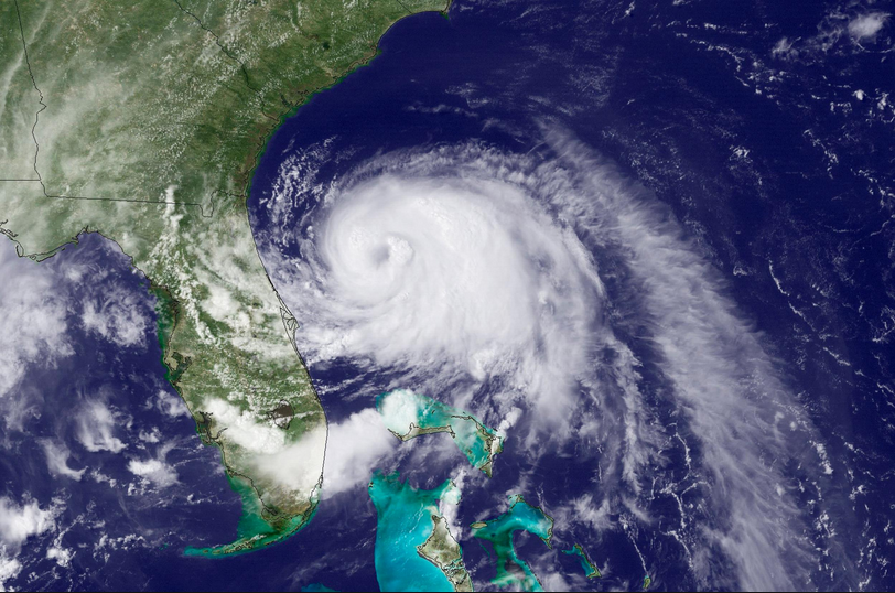
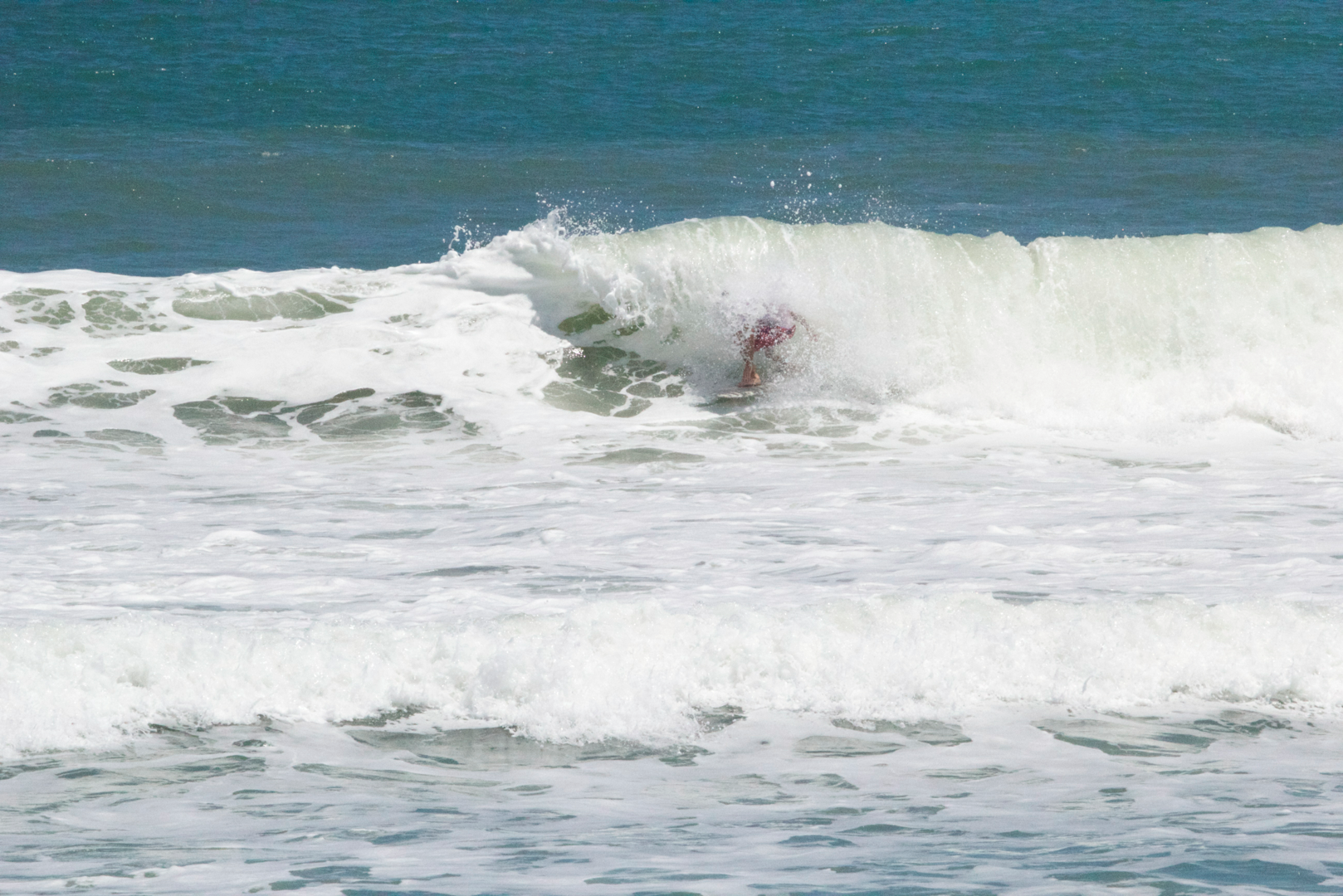
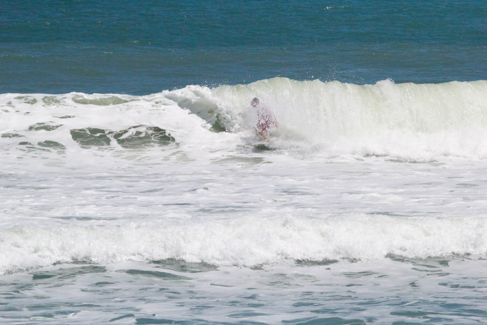
Pumping surfed graced the shores of East Florida all last week. The quality of waves produced by this storm exceeded the quality of the waves by the previous two category 1 storms of this hurricane season. Why were the waves from Cristobal so fun? To assess this question we are going to look at the pressure of the air in the center of Hurricane Cristobal, then compare the air pressure in the center of Hurricane Arthur and Hurricane Bertha. While many additional variables are important to determining the quality of waves produced by hurricanes, looking at the pressure of these storms will provide us with information about these storms strength and it will help us determine how accurate we can be in predicting wave quality by looking at a storms air pressure. This is an attempt to answer the question, Why were the waves from Cristobal so much more fun compared to the other two storms with the same strength categorization (category 1)? The pictures will be from Hurricane Cristobal.
Feel free to search for and follow along with the posts from Hurricane Cristobal, Hurricane Arthur, and Hurricane Bertha within www.stephensopitted.tv to see images of the waves produced by each storm.
Surfline, in one of their recent features, predicted that Cristobals energy, or the waves produced by the fetch of the wind in the central strongest region of the storm, took approximately 12 hours to reach the coast. Through the majority of the day on Wednesday, and into the evening, the storm maintained air pressure right around 983 millibars. If the swell takes 12 hours to reach the coast, all the swell produced on Wednesday afternoon and evening at 983 millibars should have been what we were seeing through the glassy Thursday morning and into the afternoon.
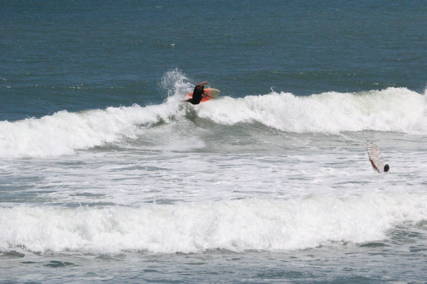
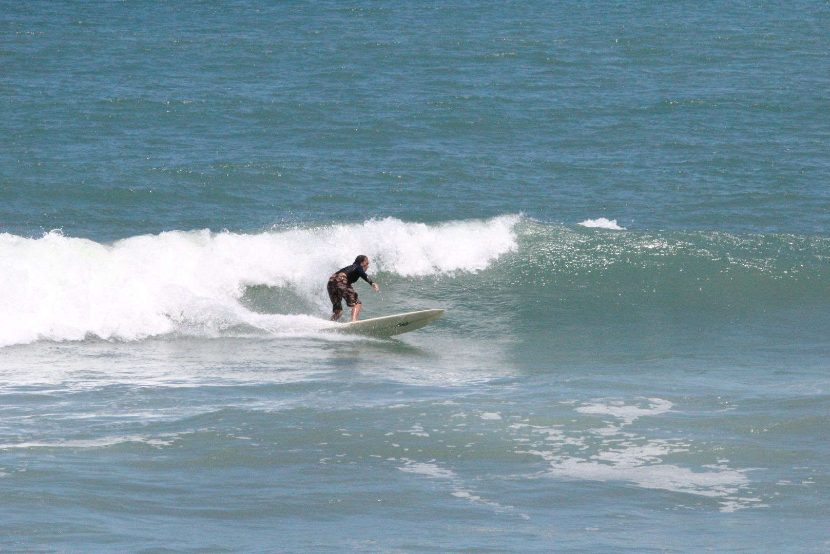
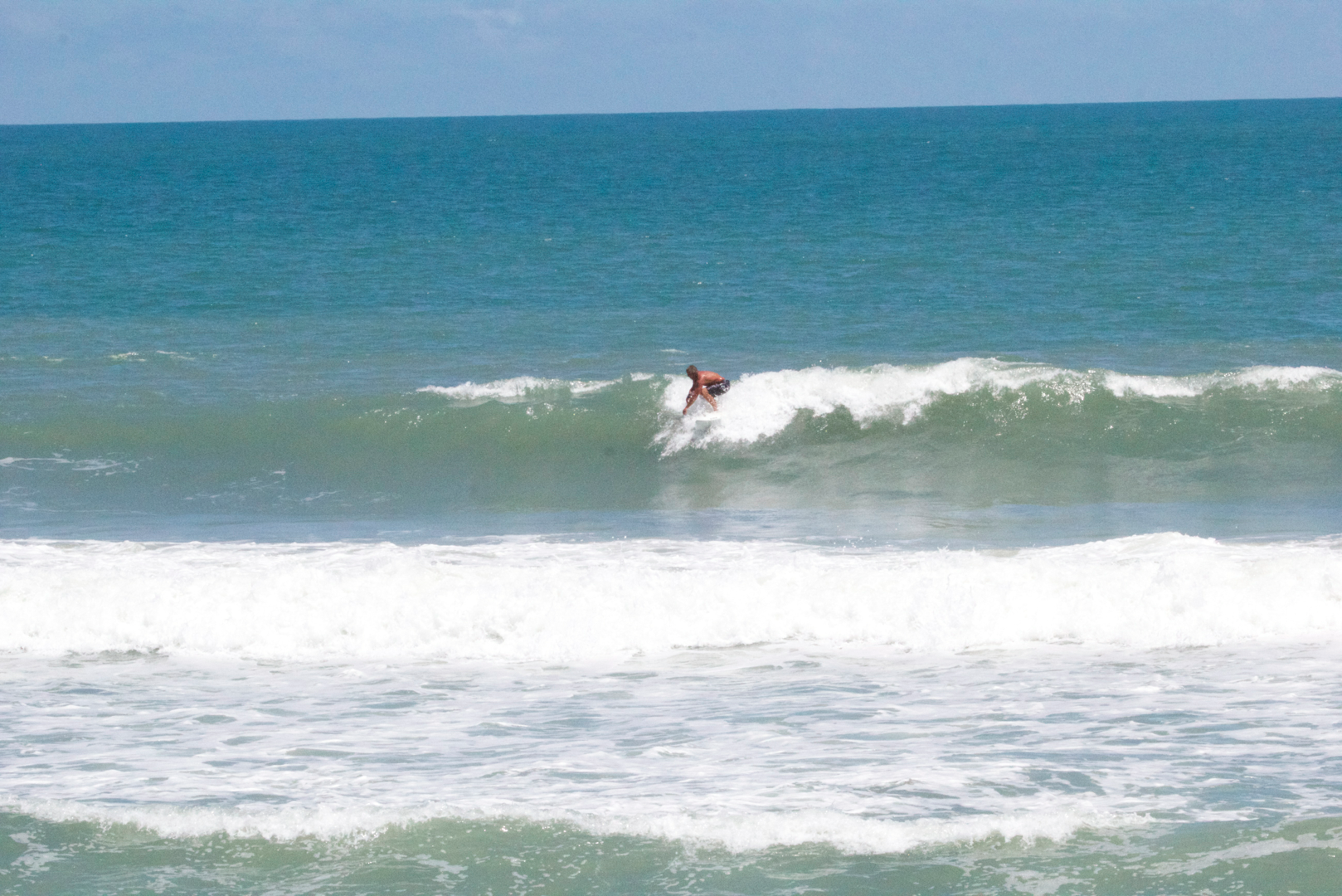
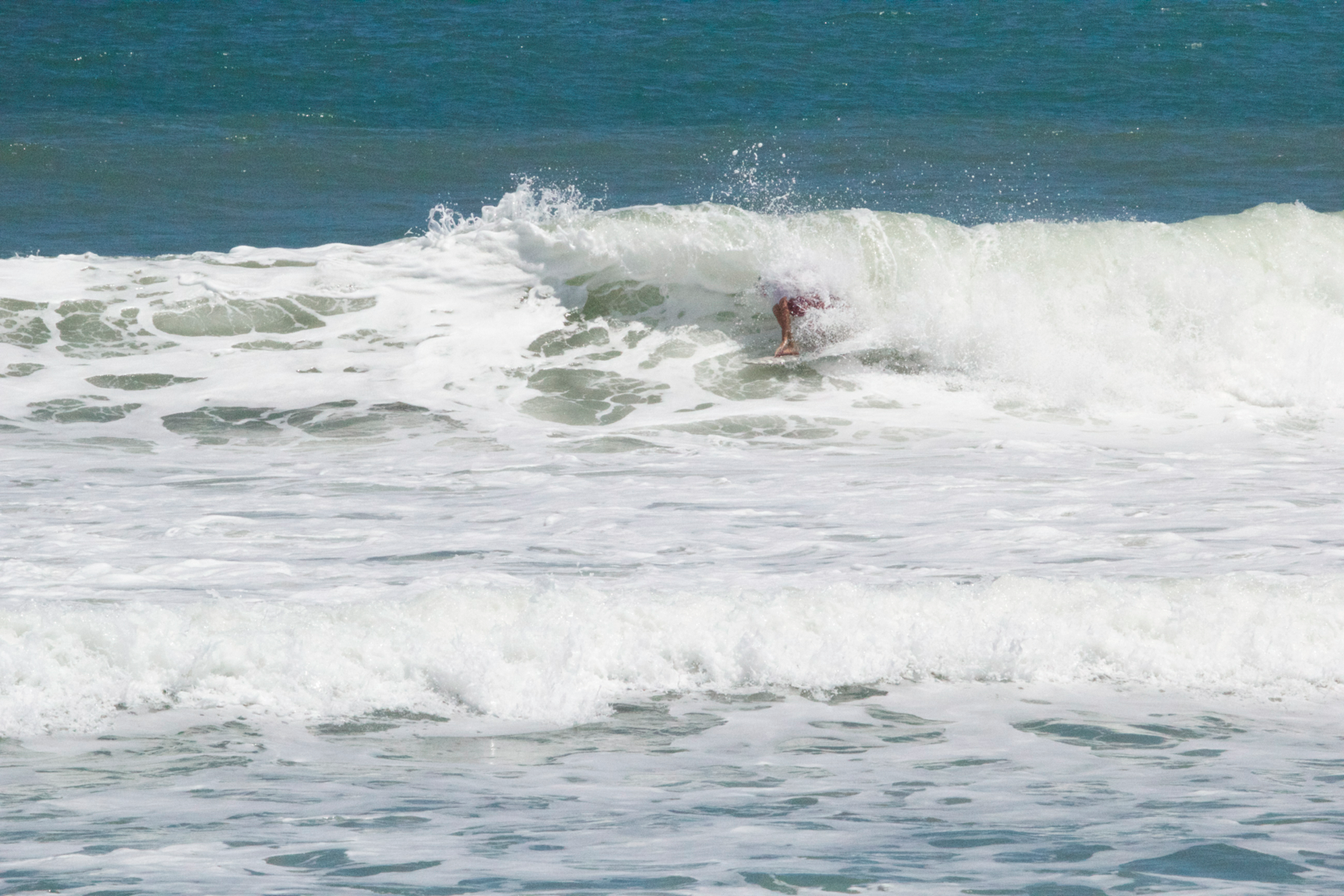
Cristobal Images:


Other possible variables that influence the quality of waves include a storms area and it’s speed of movement.
Moving backwards in time, the next most recent storm to compare was Hurricane Bertha. For this storm we can estimate, the swells took 7- 10 hours to reach the coast. The waves took less time to reach the coast than for Cristobal, because the storm was closer to the coast. For this storm, the best days were on Tuesday and Wednesday. The storm was maintaining pressure right around 1007, then on Monday at 5am this storm dropped to 998 millibars. The 998 MB only lasted until 5pm on Monday, and quickly dropped back down to 1001 MB by 11pm, and 1005 MB at 5am on Tuesday. The 998 MB energy is what we were seeing on Tuesday. By Wednesday we were seeing waves produced right around 1005 MB. It did not strengthen any further following Monday. This storm was noticeably weaker than Cristobal.
 And now, Hurricane Arthur:
Hurricane Arthur was the first Hurricane of the 2014 atlantic hurricane season. This storm moved closely to the Florida coastline, and so we can estimate the time the swell took to reach the coast from when the waves were created at around 6-9 hours. At 11pm on July 2nd the storms pressure reached 988 MB. This 988 MB is what we were seeing at the beach on the best day. This pressure is the second strongest storms that visited the East Florida wave window this summer. This storm didn’t quite reach the 983 MB low of Cristobal.
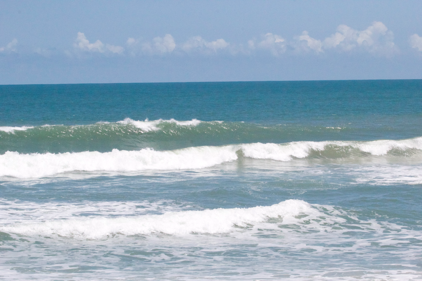
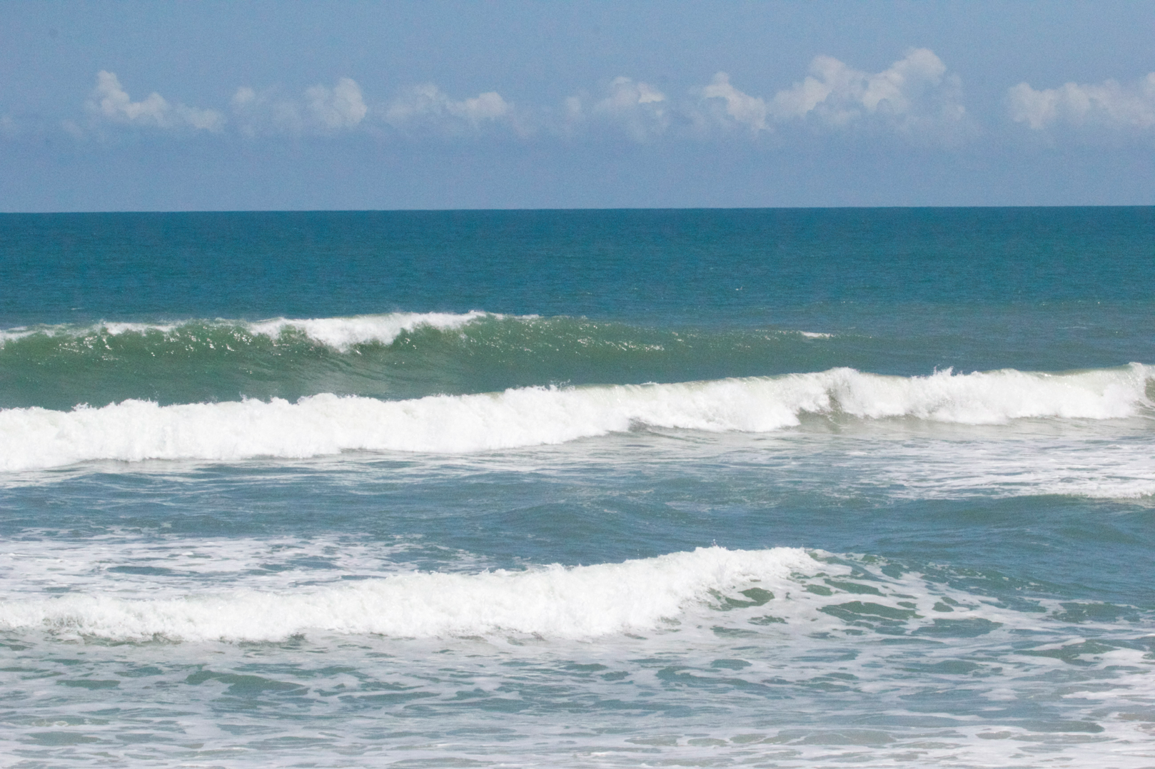
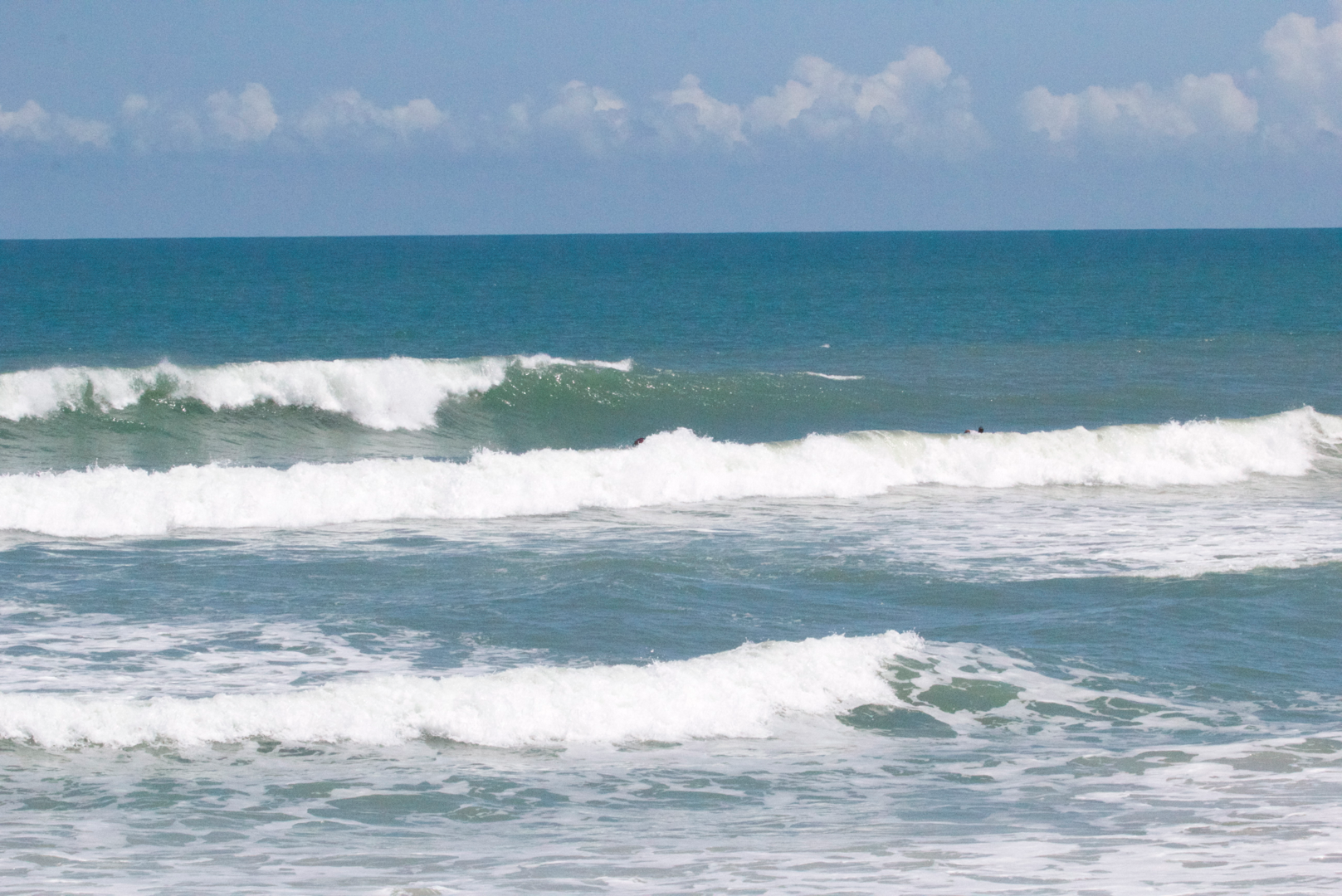
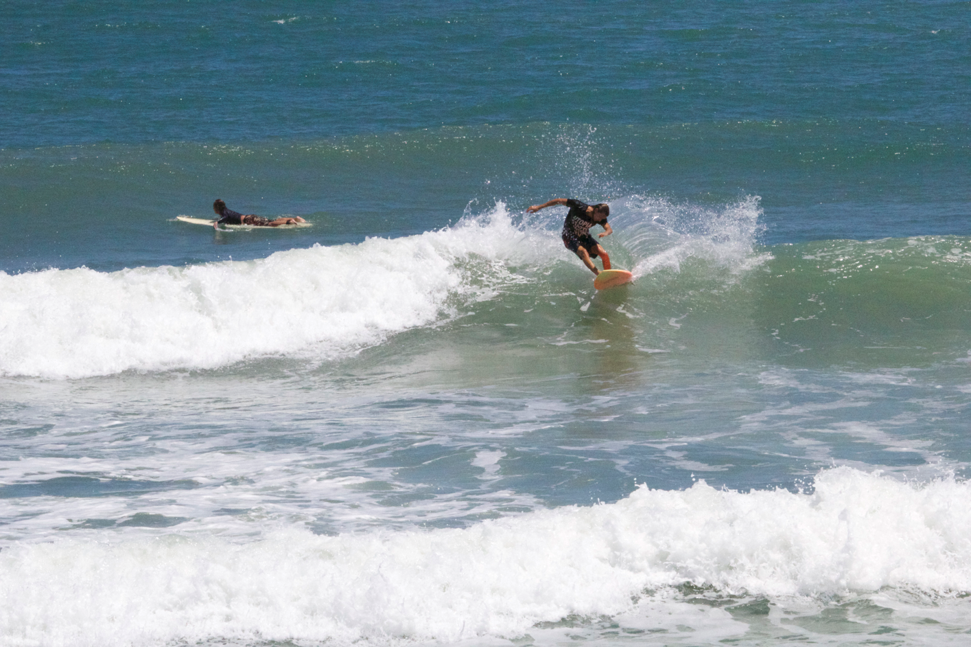
Cristobal Images:


Summary:
Cristobal, coming third thus far in the year, was the strongest storm in terms of the low air pressure in the center of the storm. It was stationary while it sat in the East Florida wave window. This was important for wave quality. It also had the best quality waves of the three. Hurricane Bertha, coming second thus far this year, had the third lowest pressure (weakest of the three) but produced waves ranked second best among the three storms. Hurricane Arthur, coming first this year, had the second lowest pressure, but the wave quality fell ranked at the bottom of the three. This shows that variables other than air pressure at the center of the storm influence the quality of waves seen at the coast by the storm. For Arthur we can guess that its quick movement prevented the storm from blowing for long enough while in the wave window body of water. It did not have an opportunity to blow long enough to create waves to match the air pressure. This storm was not stationary but did not move quickly. So, a storms air pressure is important for creating waves, but not the only predictor.
Answering the Question:
So then, what is the answer to our question, Why was Cristobal so good? By looking at pressure we have determined that Cristobal had the lowest pressure of the three storms. In addition, it had plenty of time to create waves with it’s full strength during the period of time that it was stationary in the wave window.


