A picture is worth a thousand words.
Category Archives: Adverse Weather
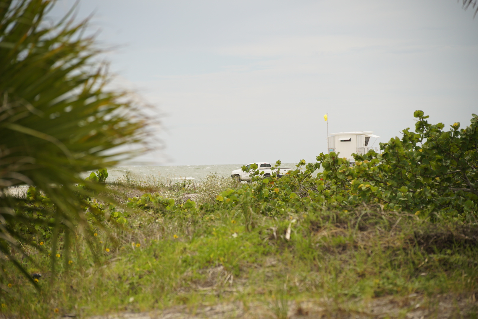
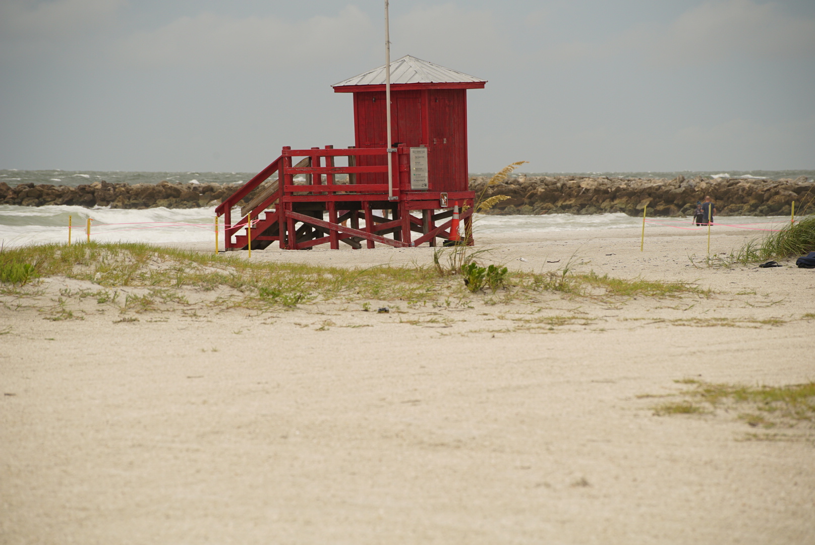
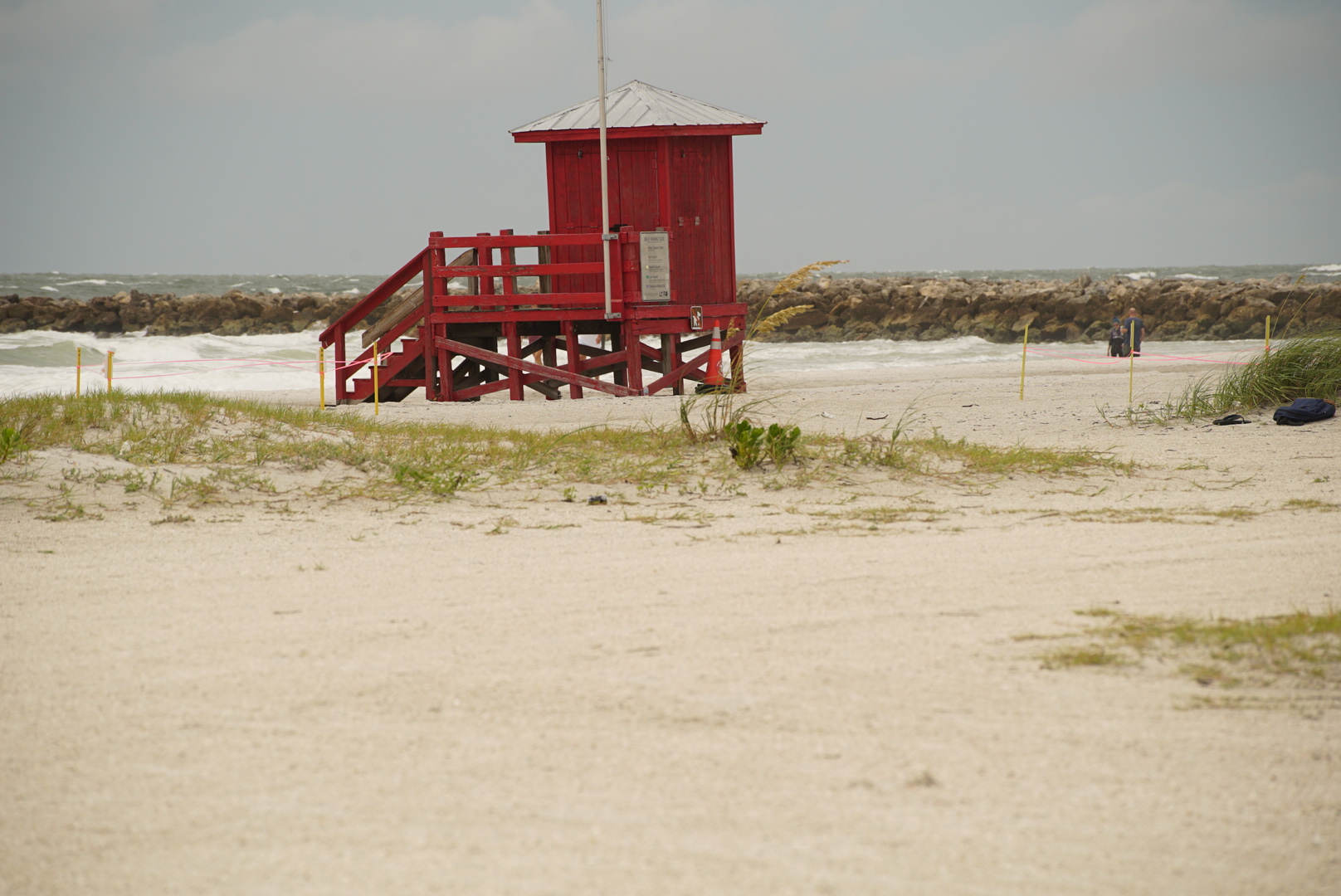
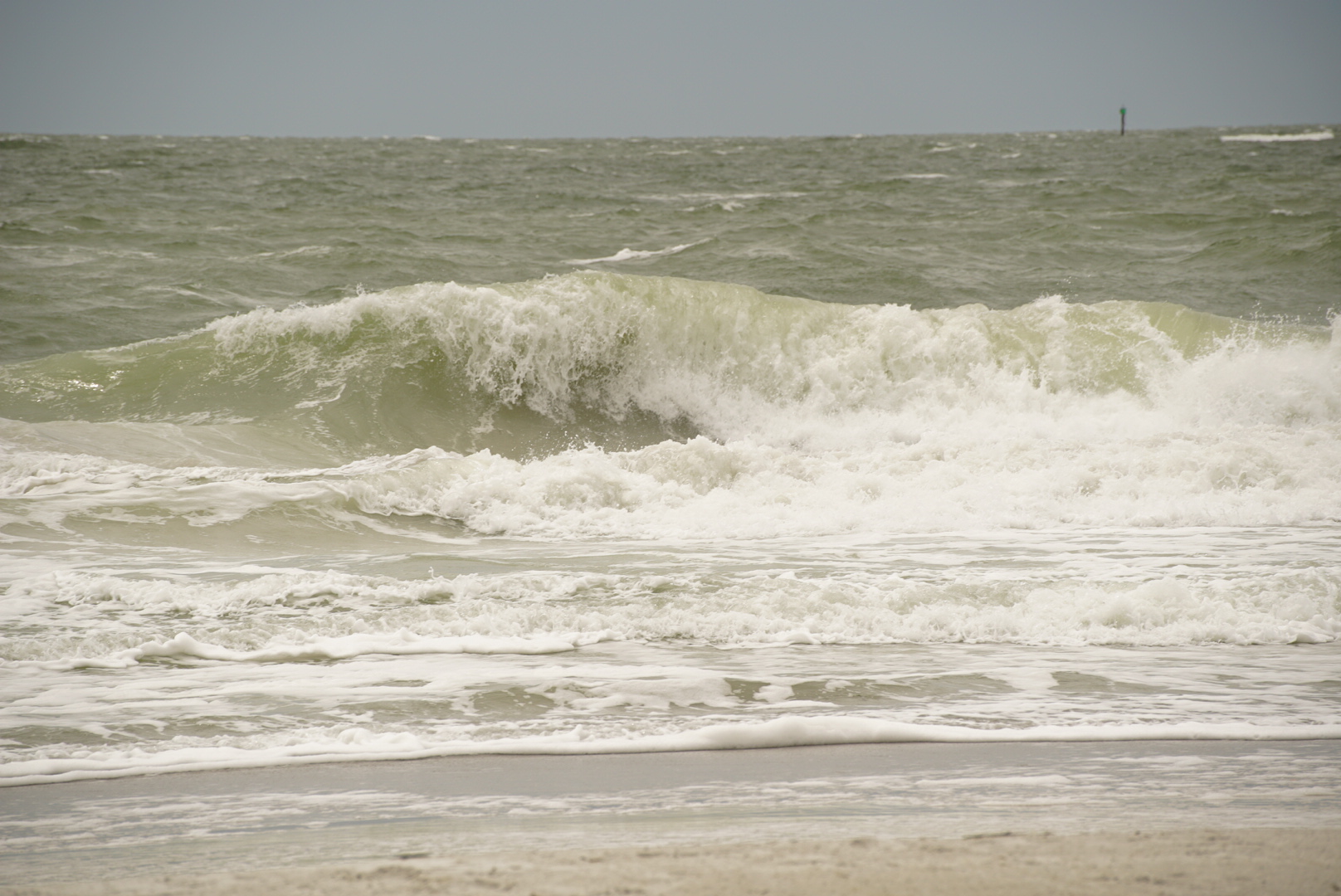
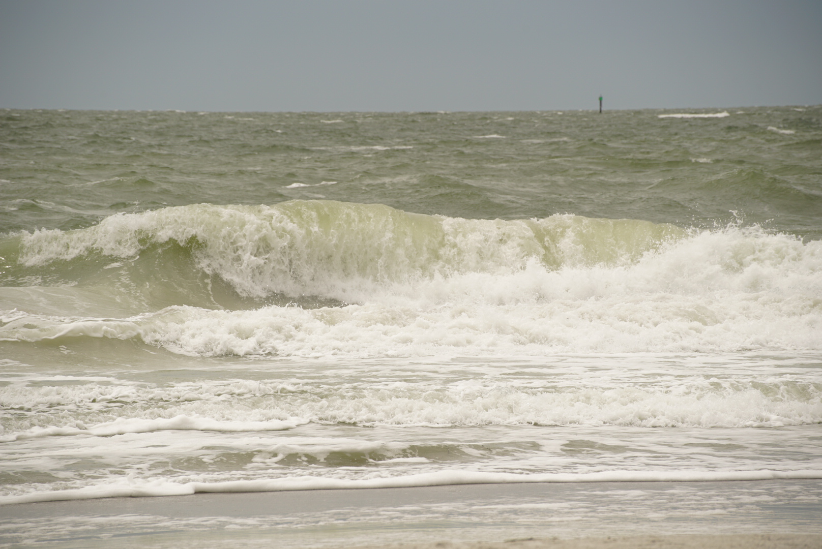
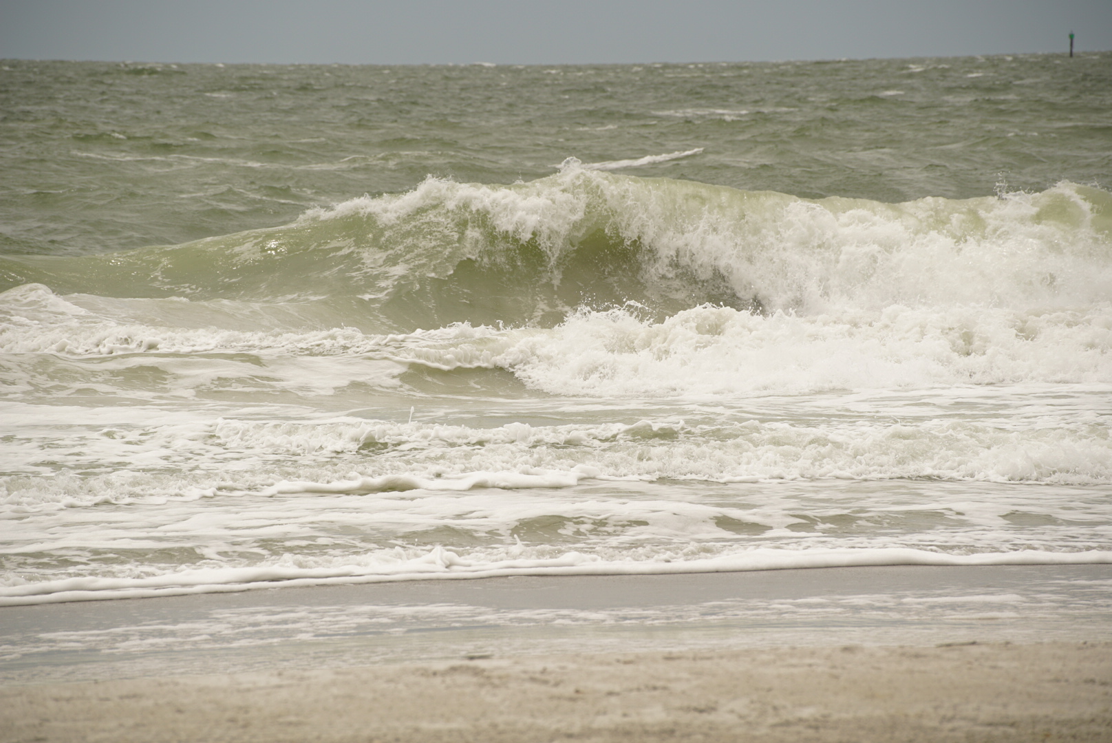
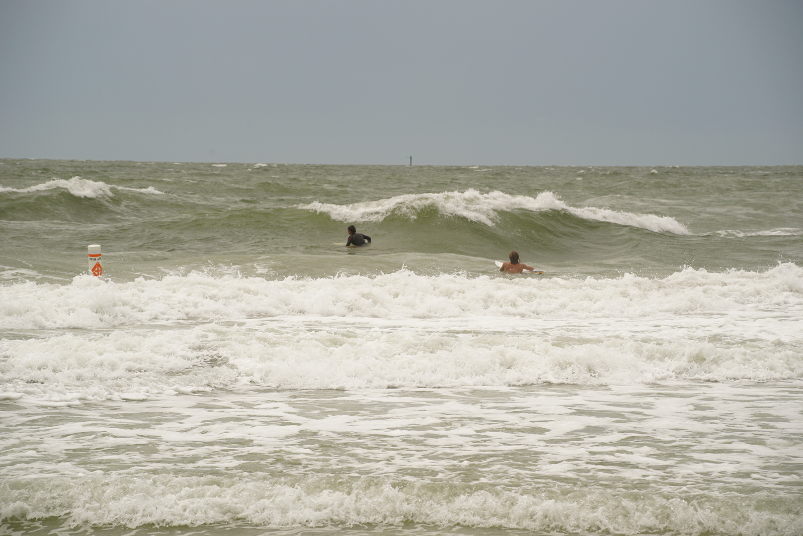
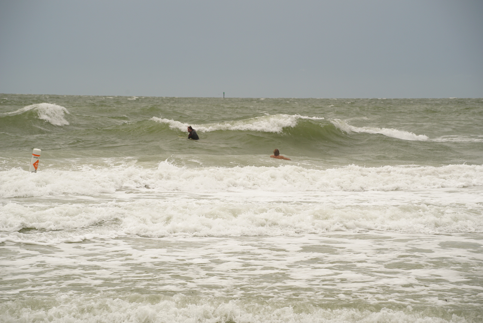
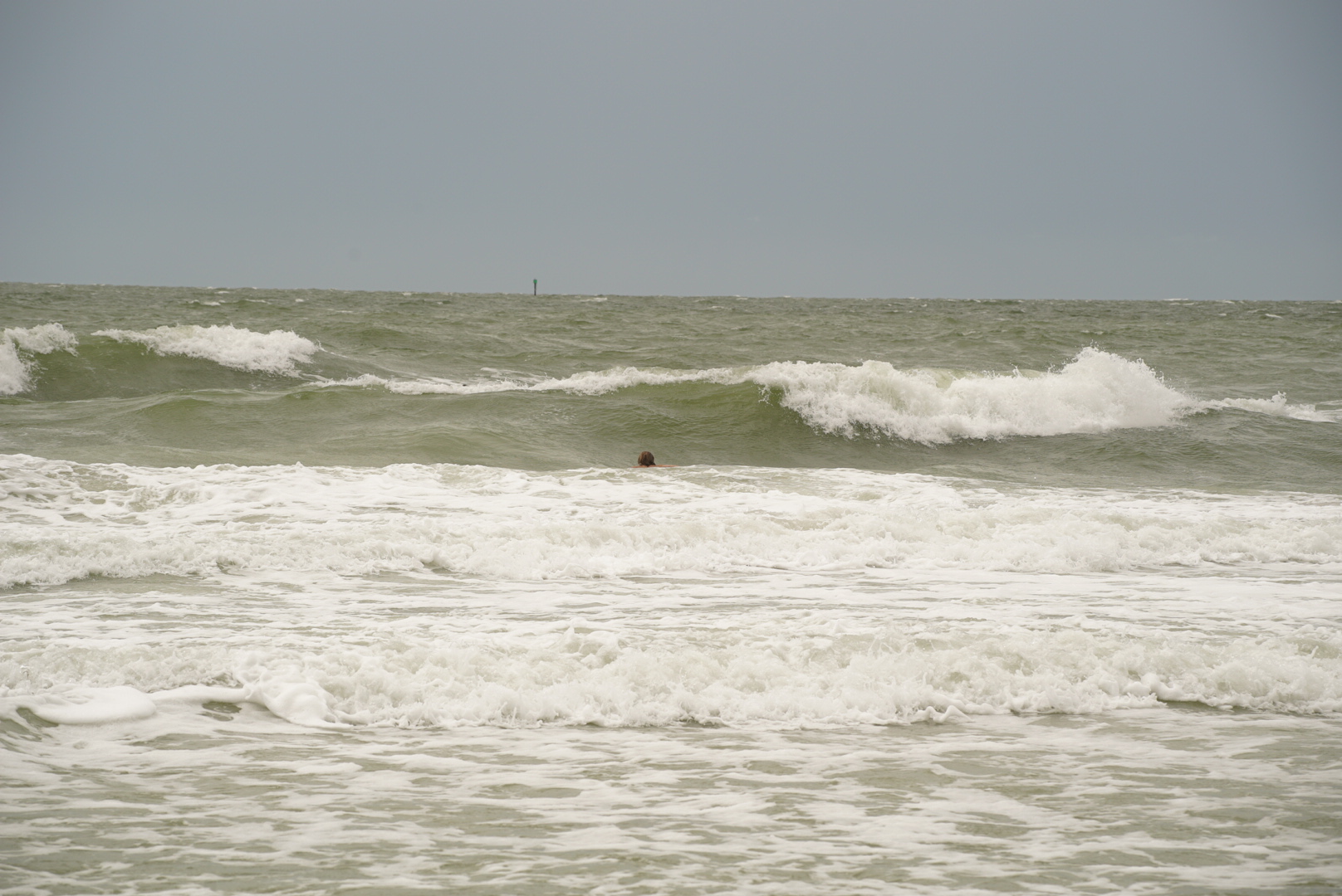
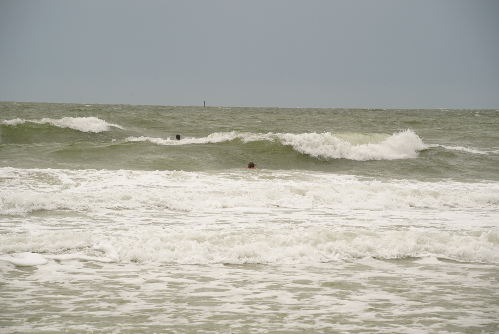
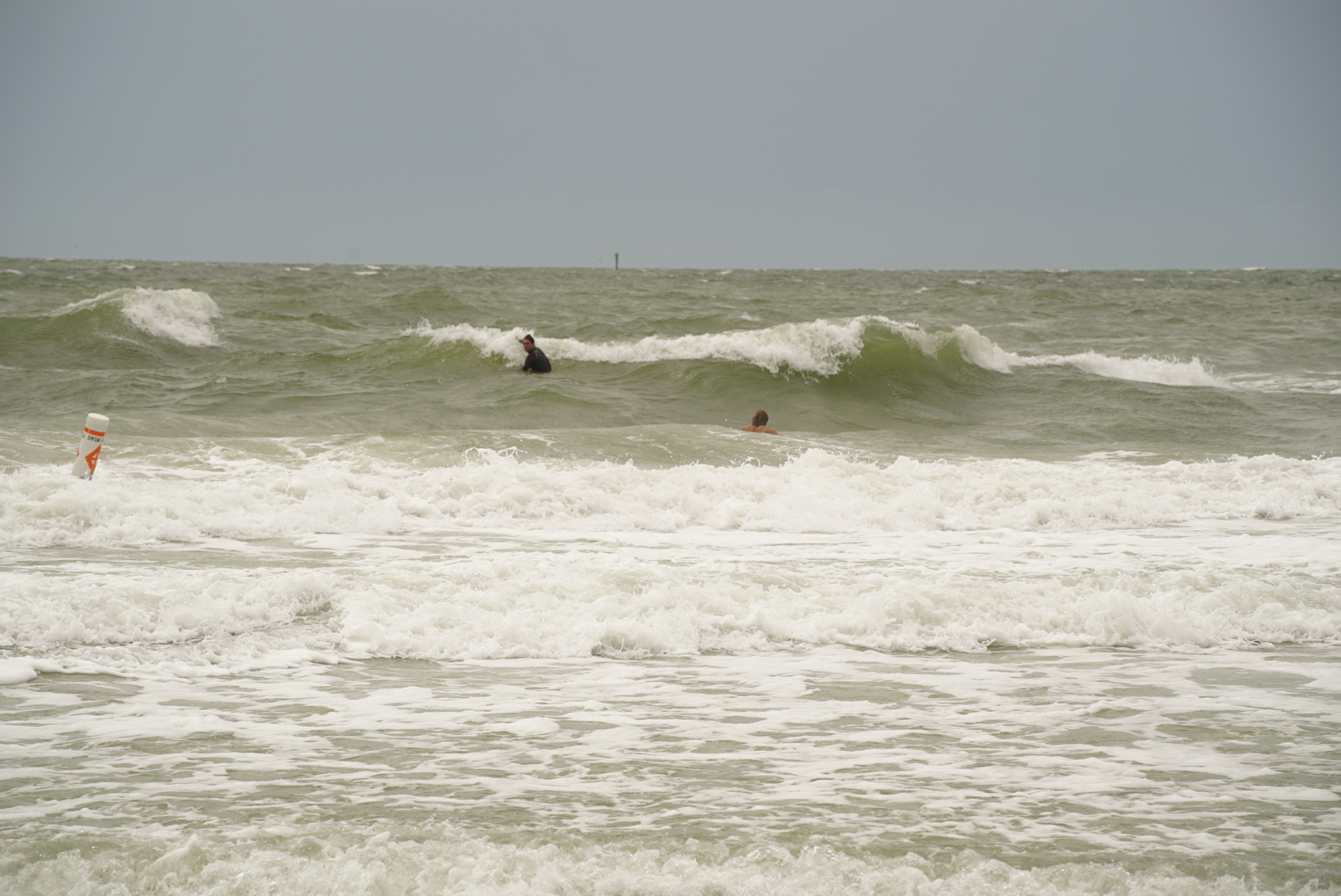
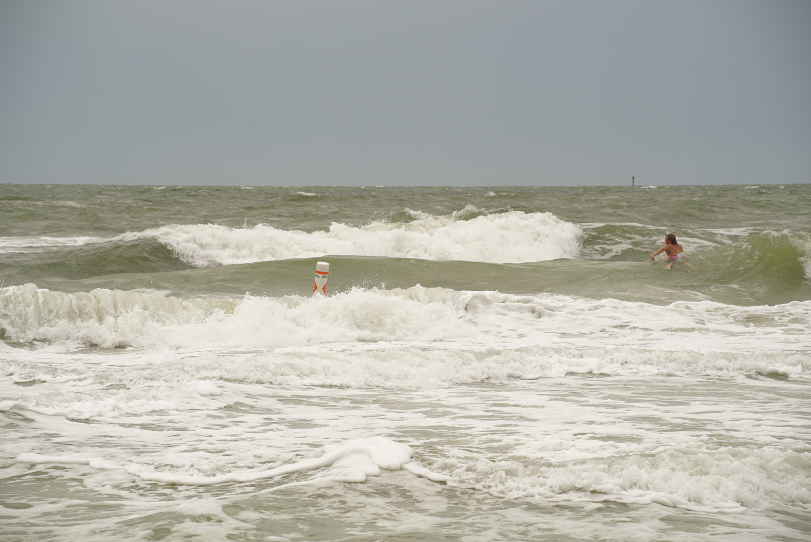
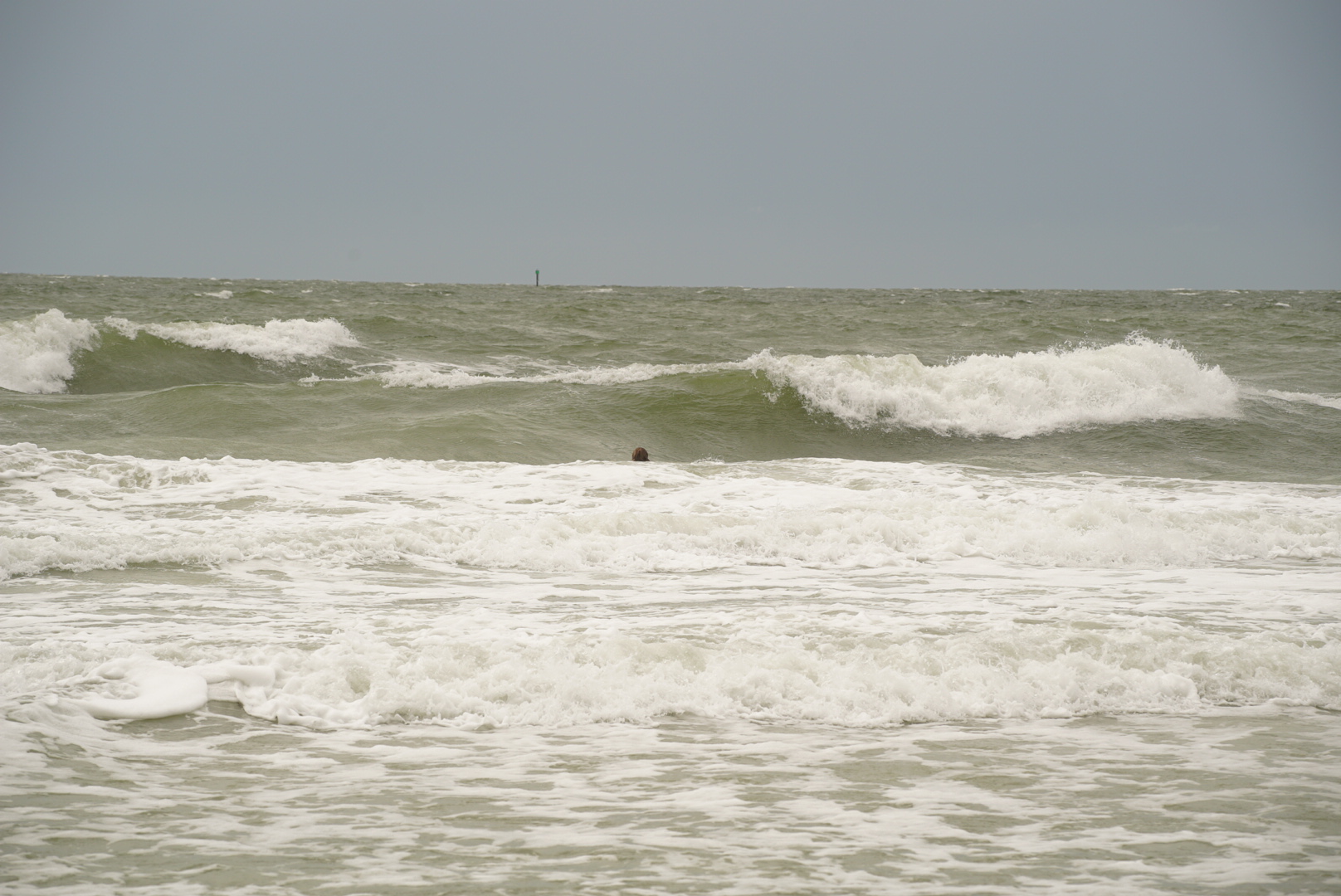
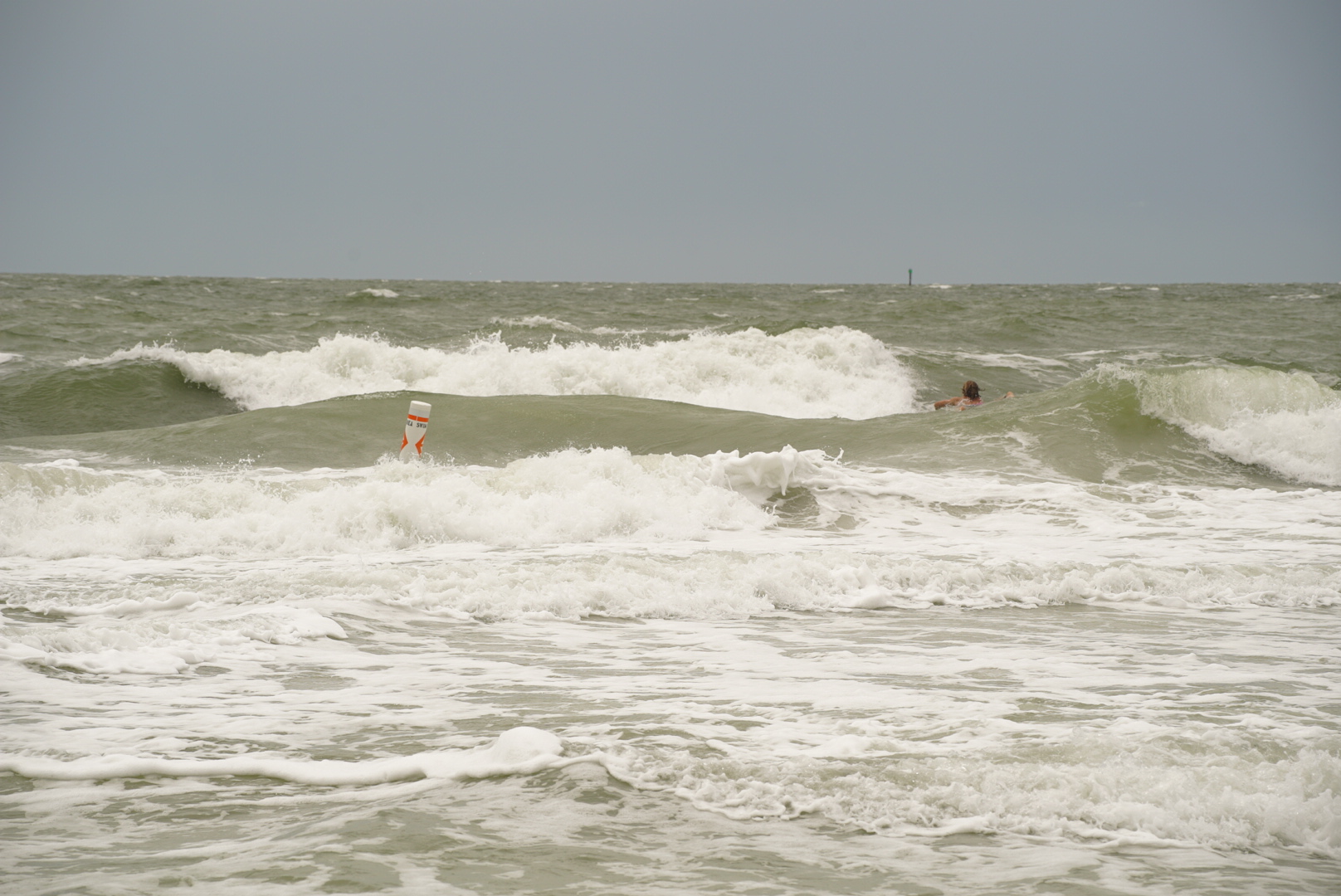
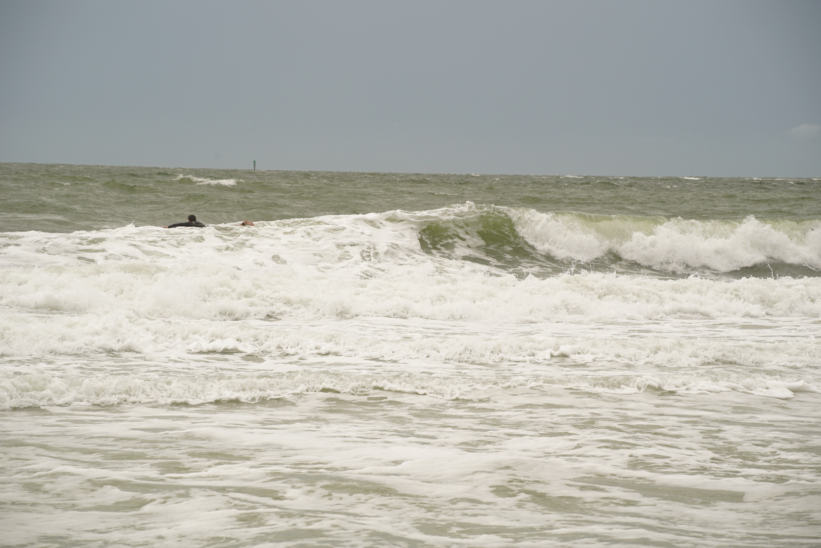
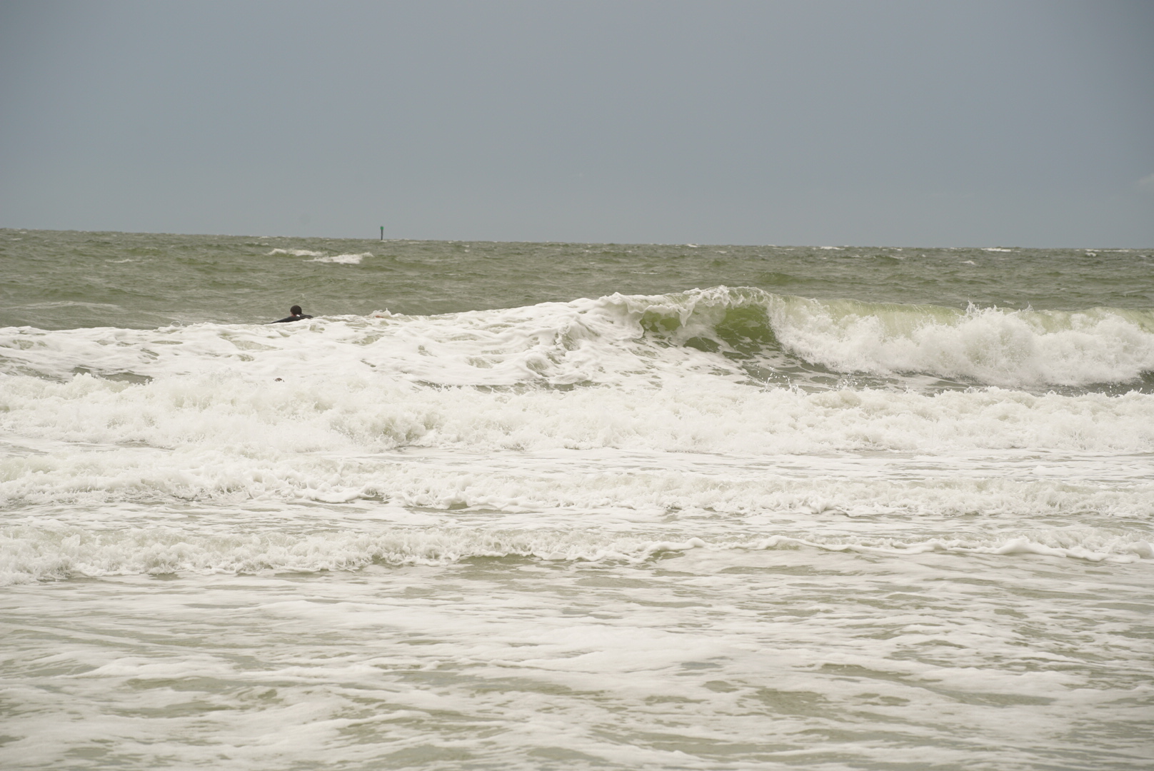
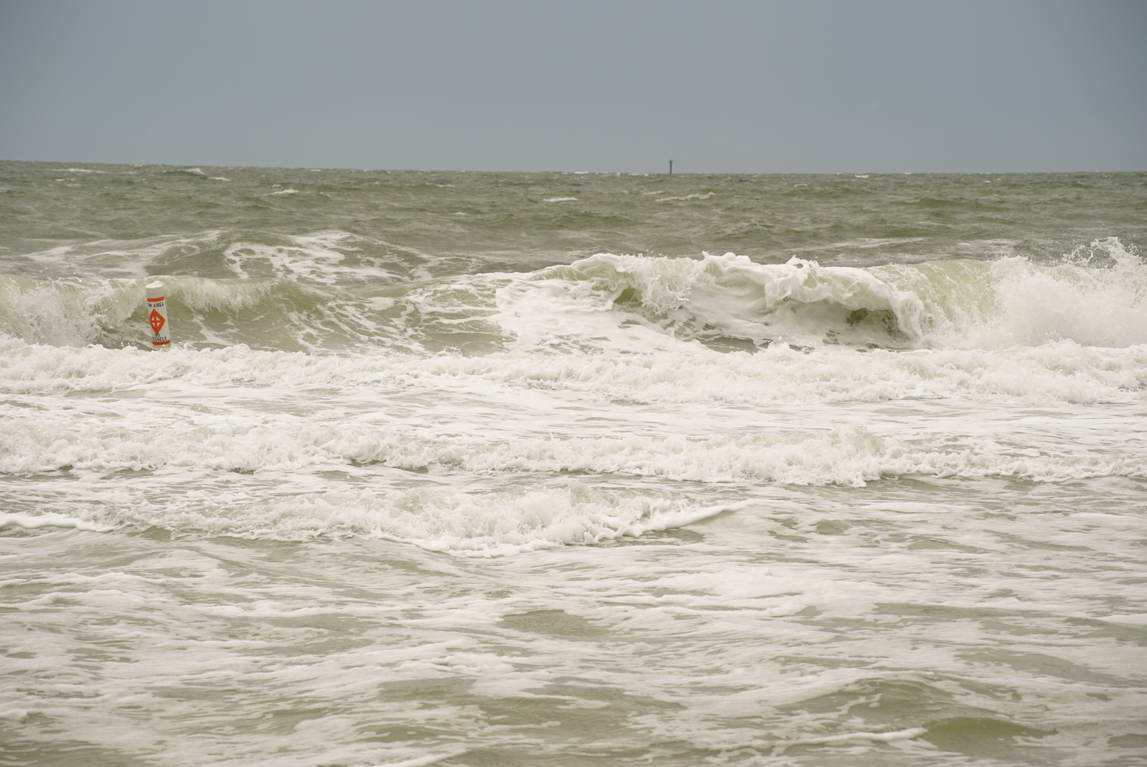
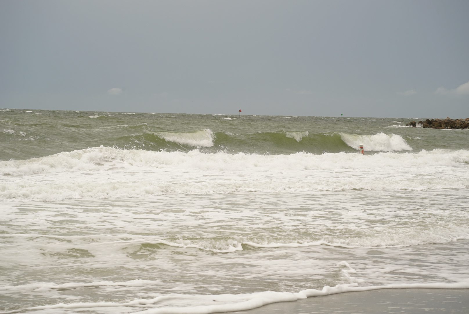
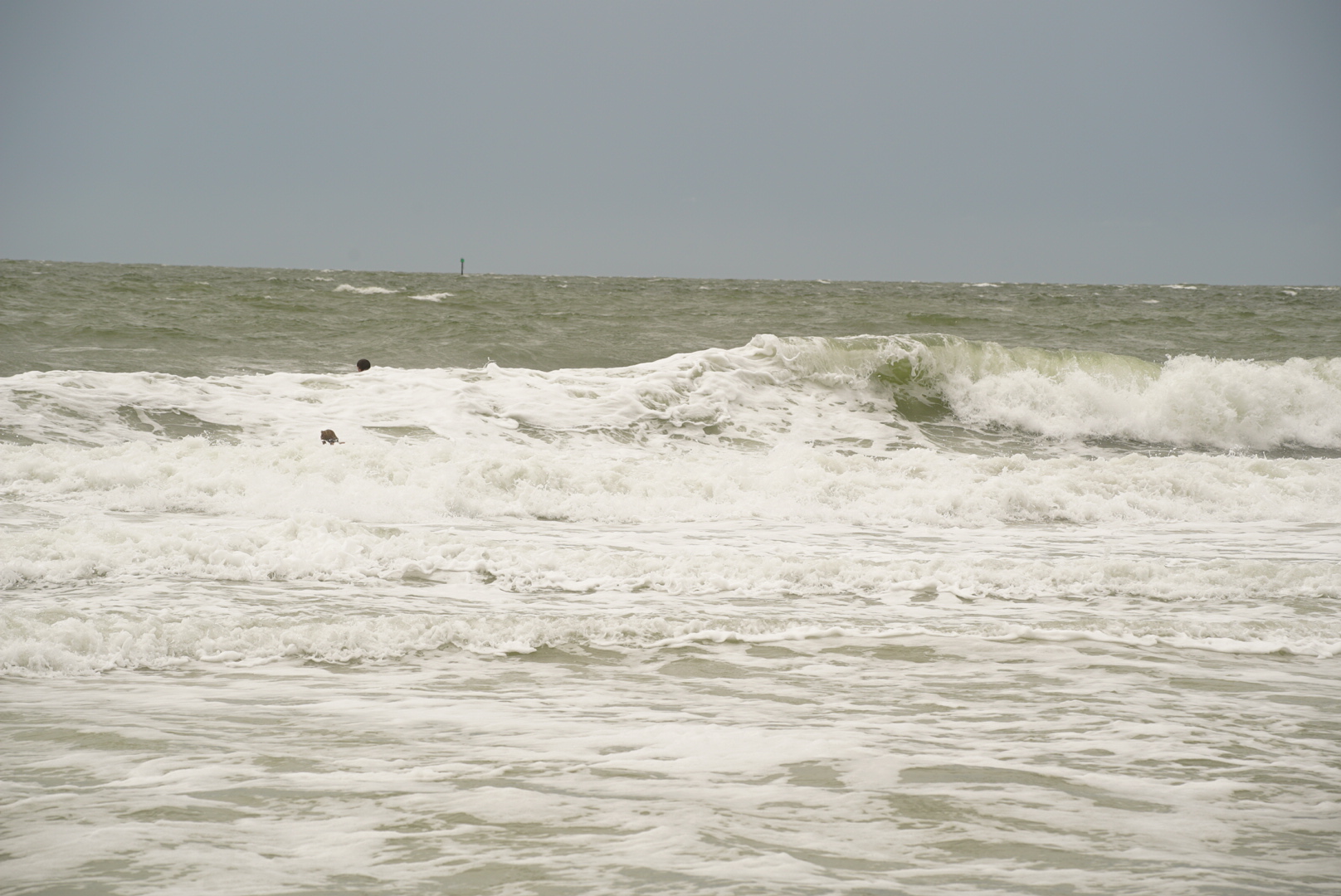
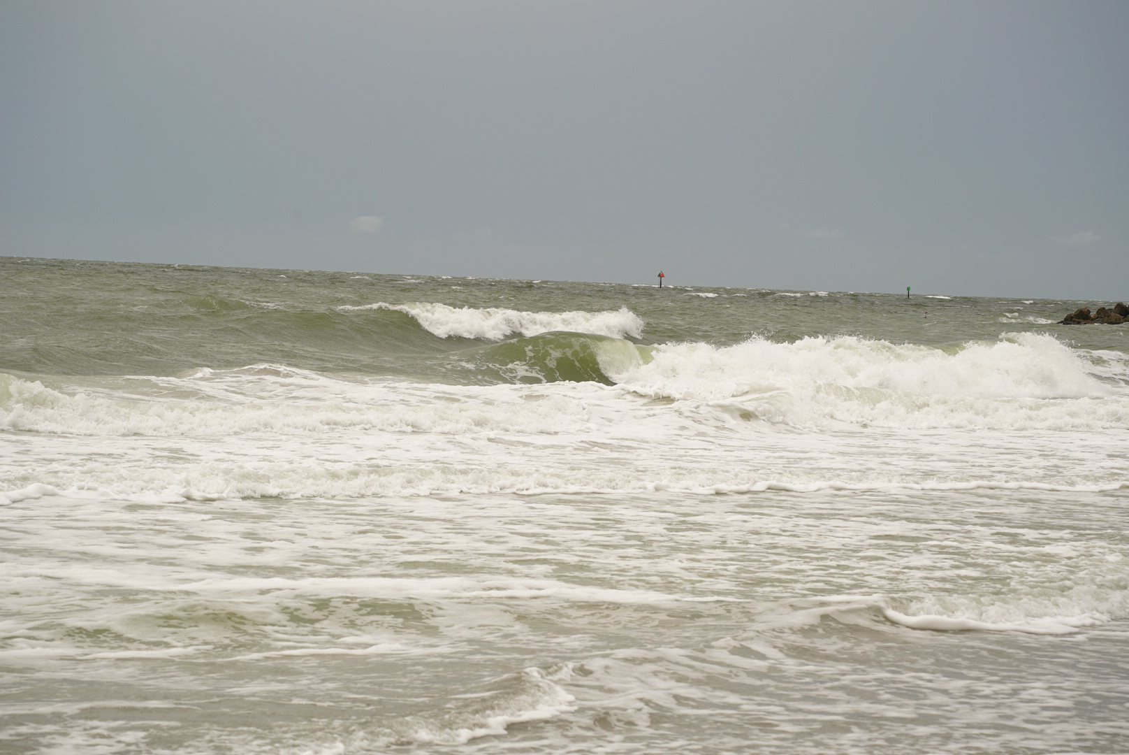
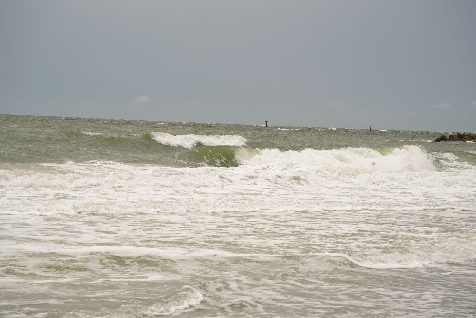
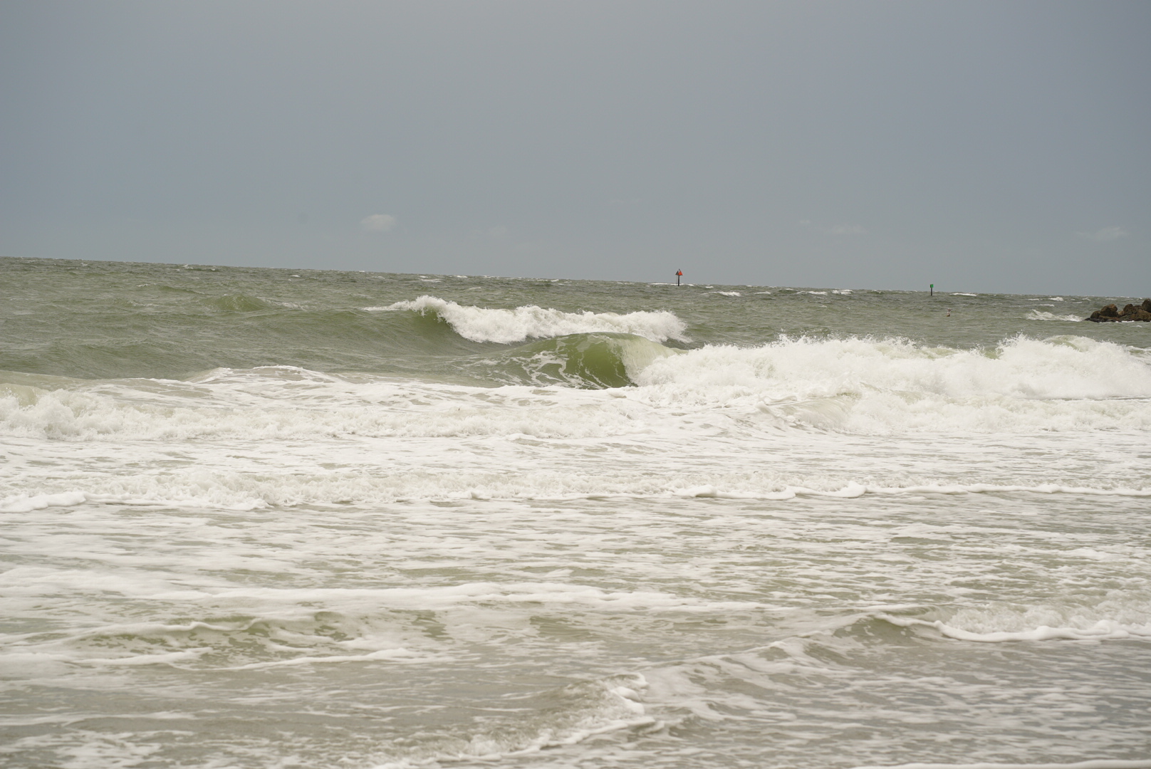
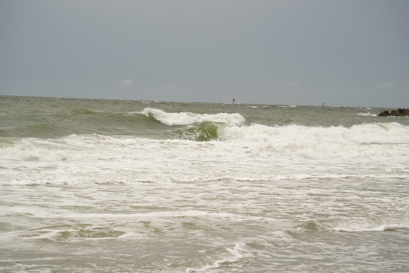
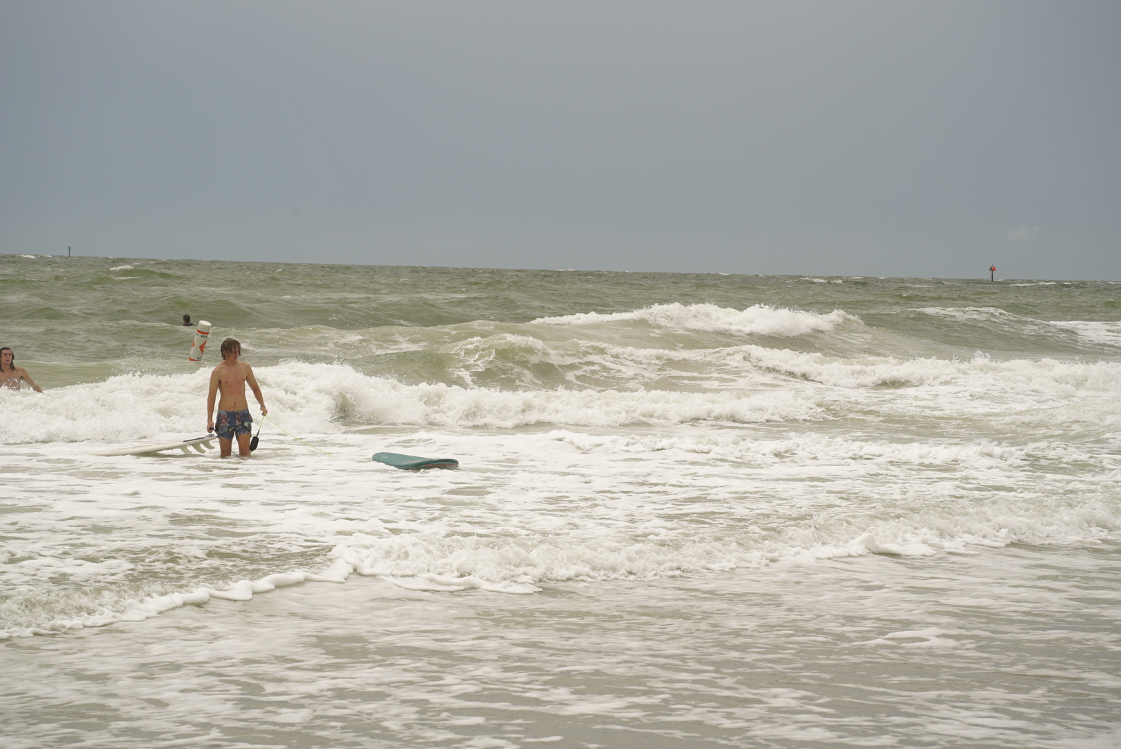
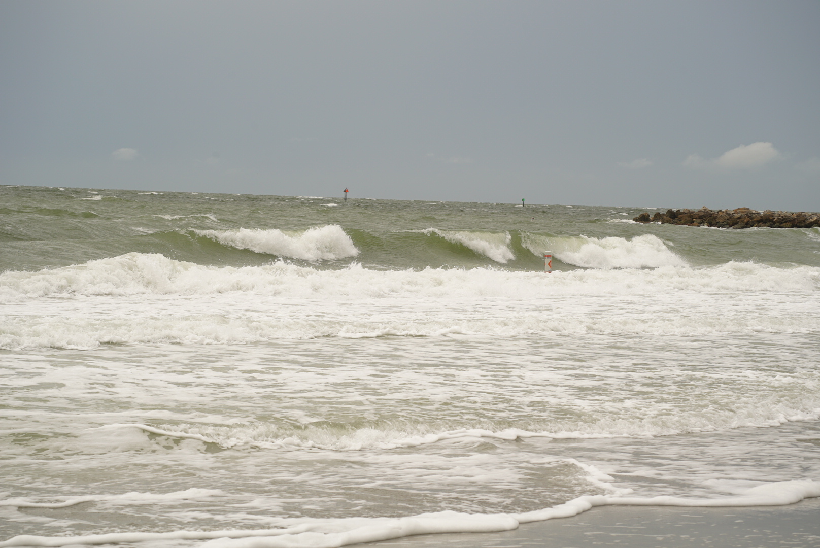
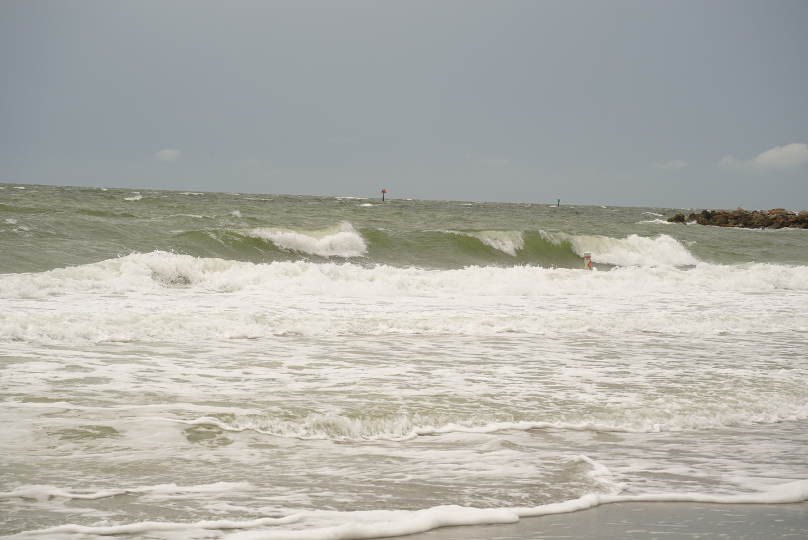
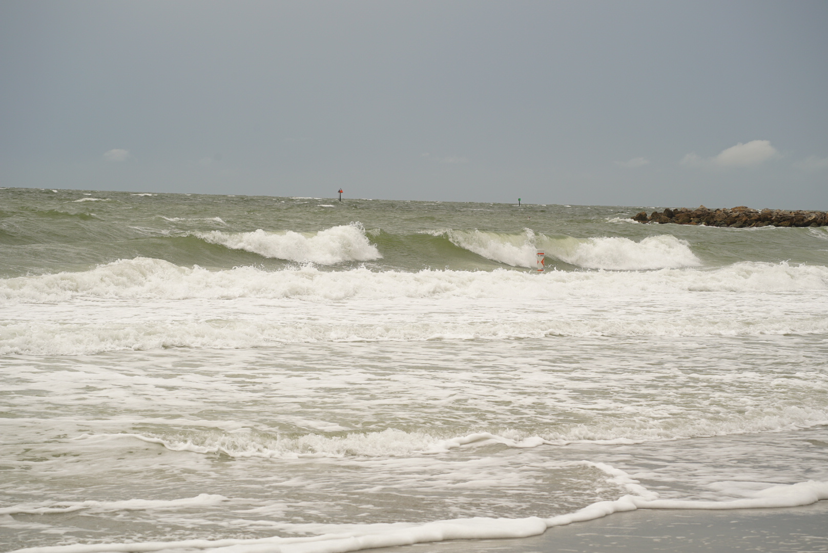
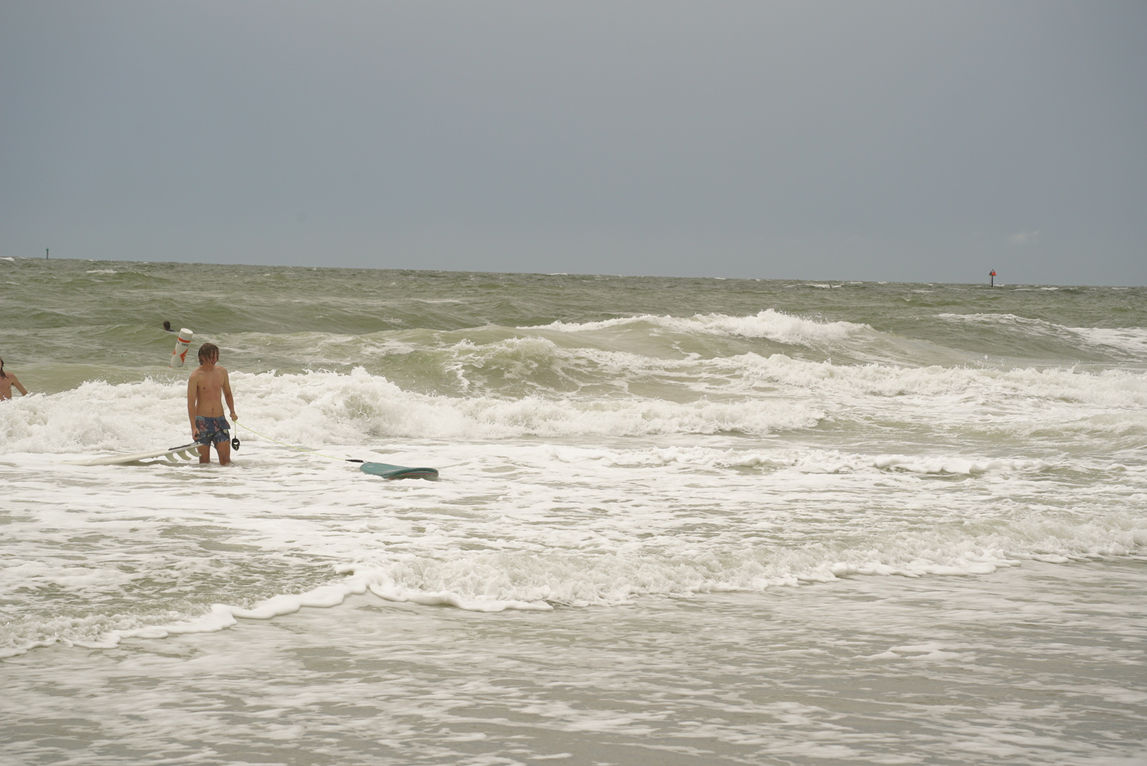
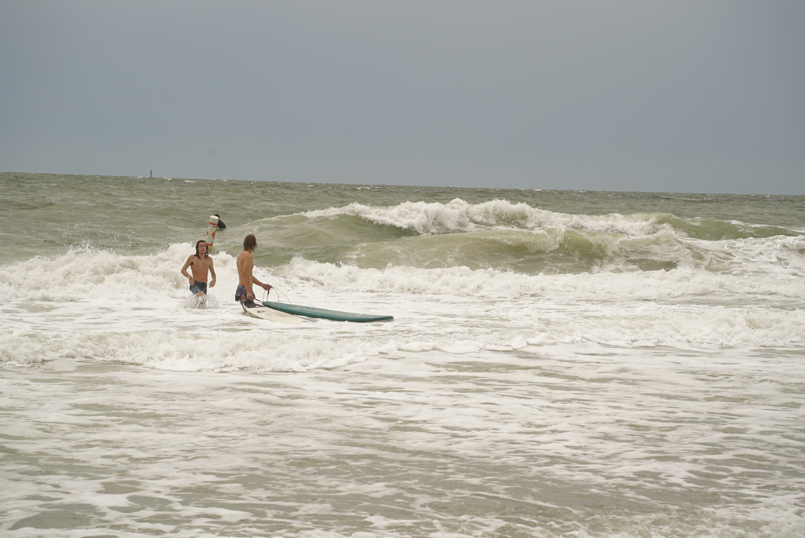
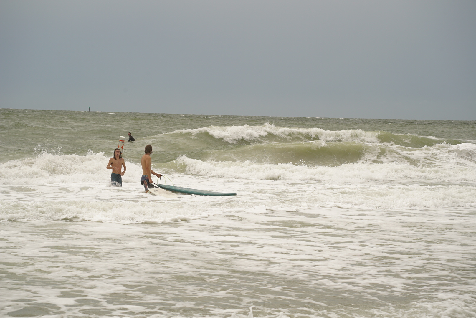
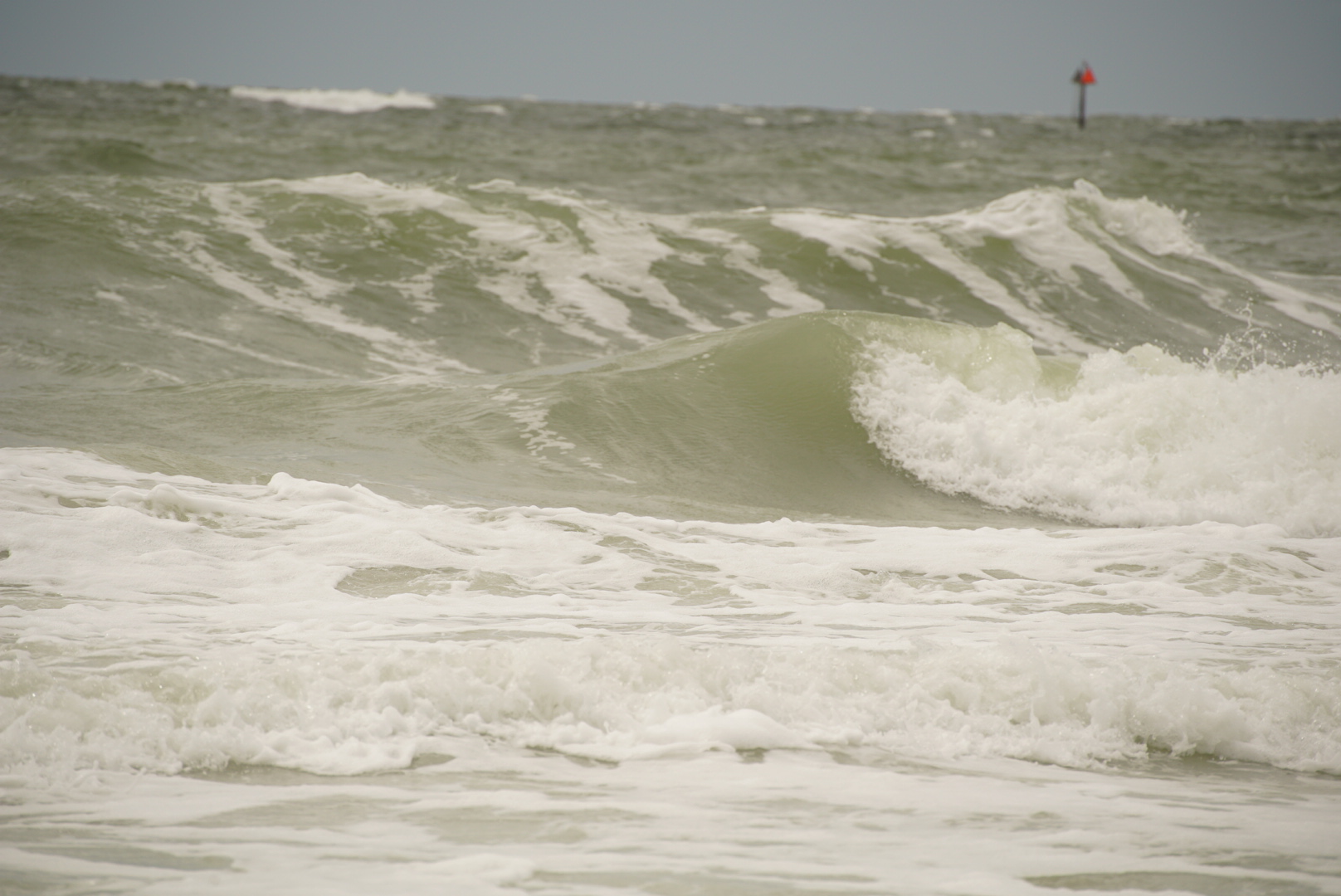
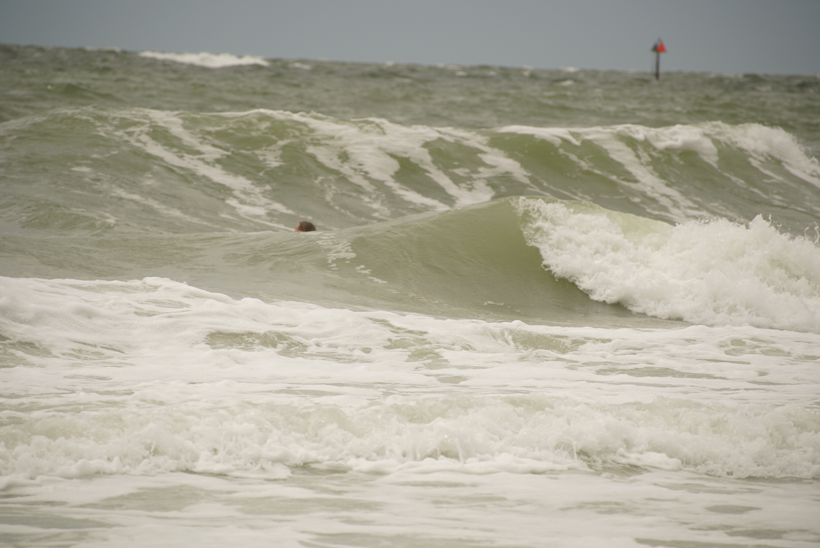
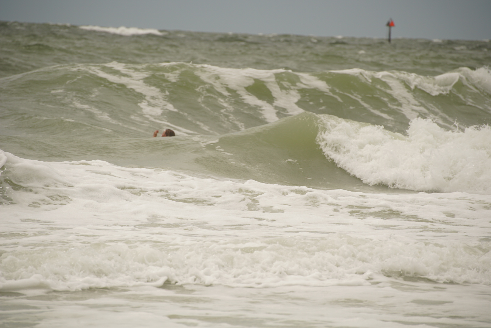
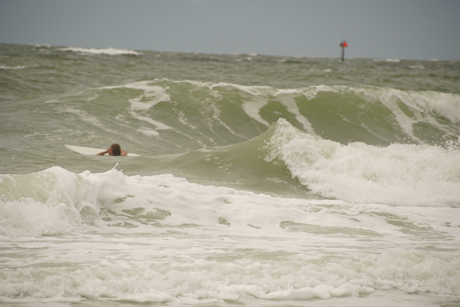
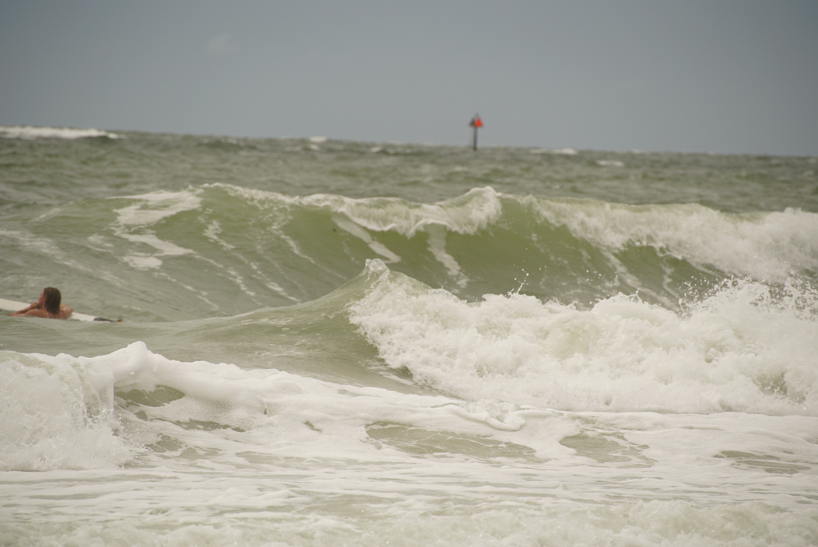
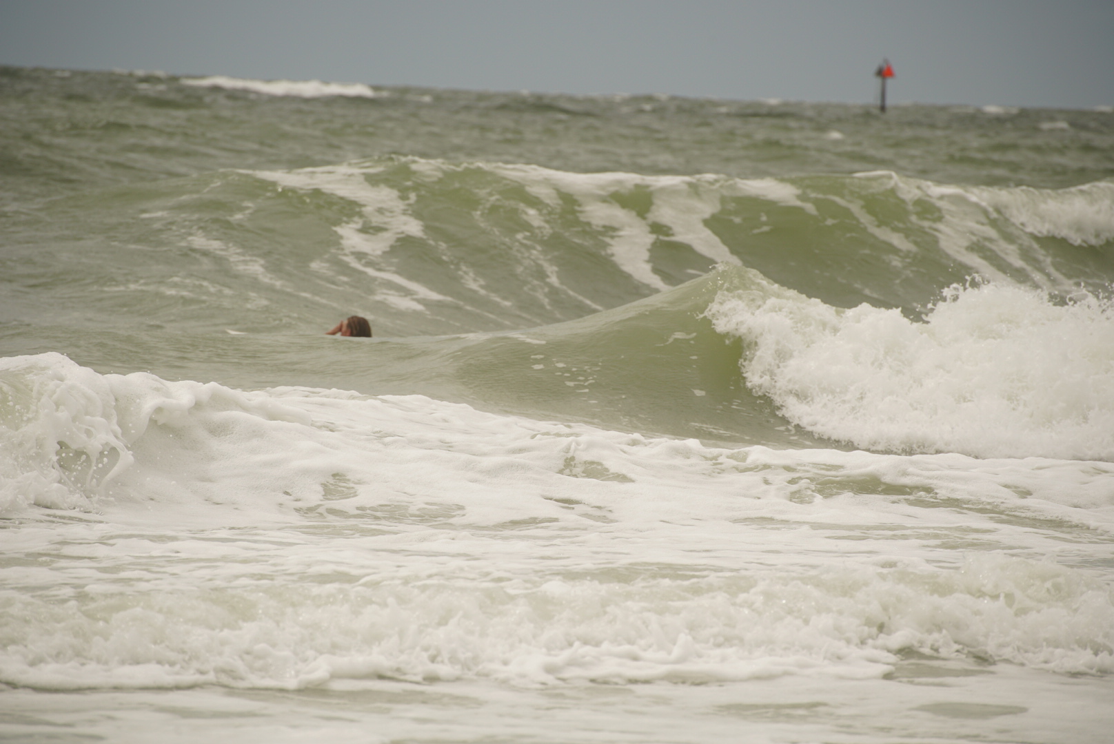
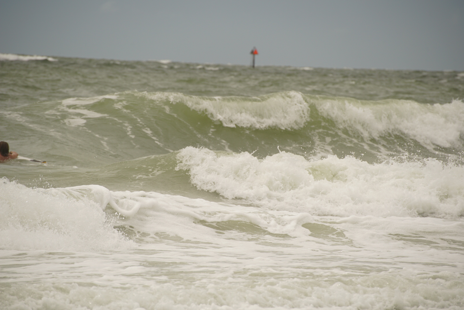
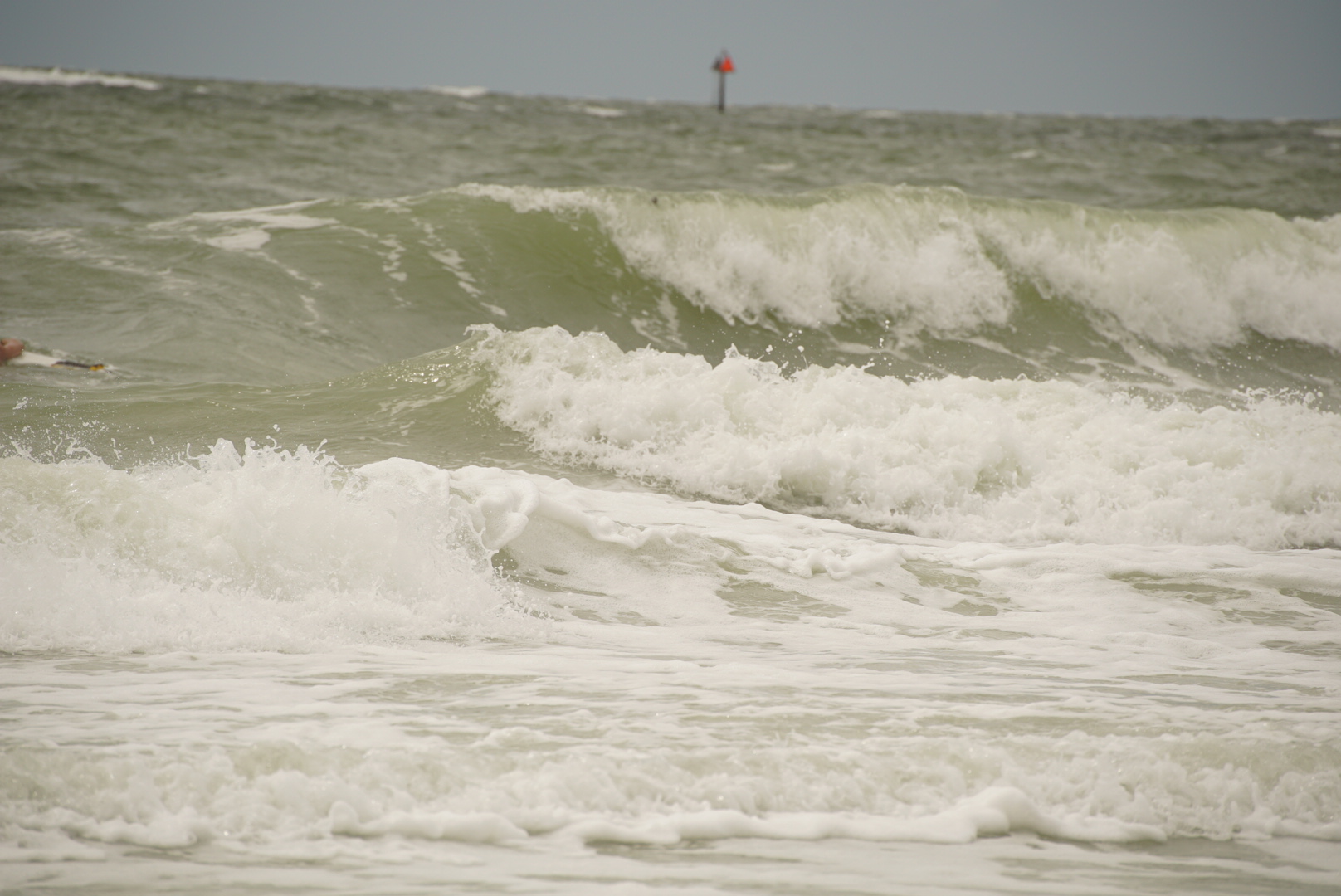
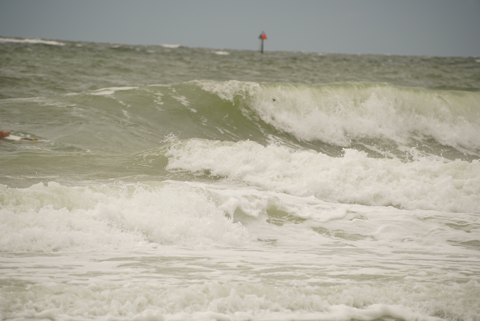
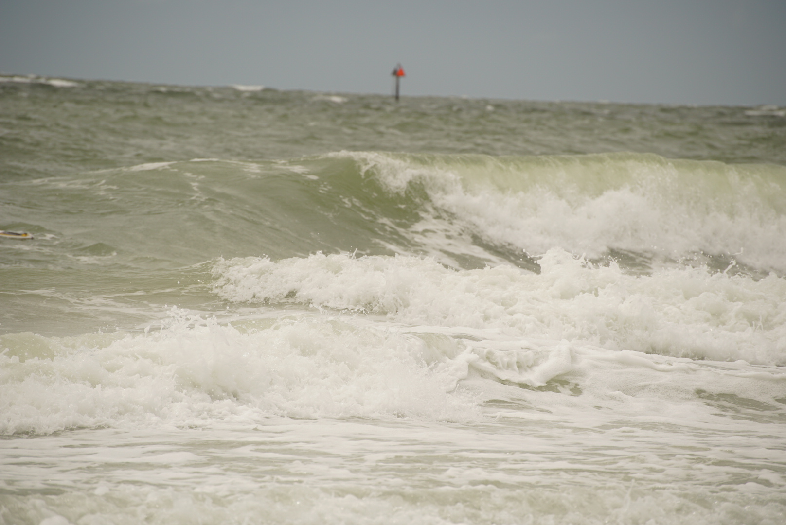
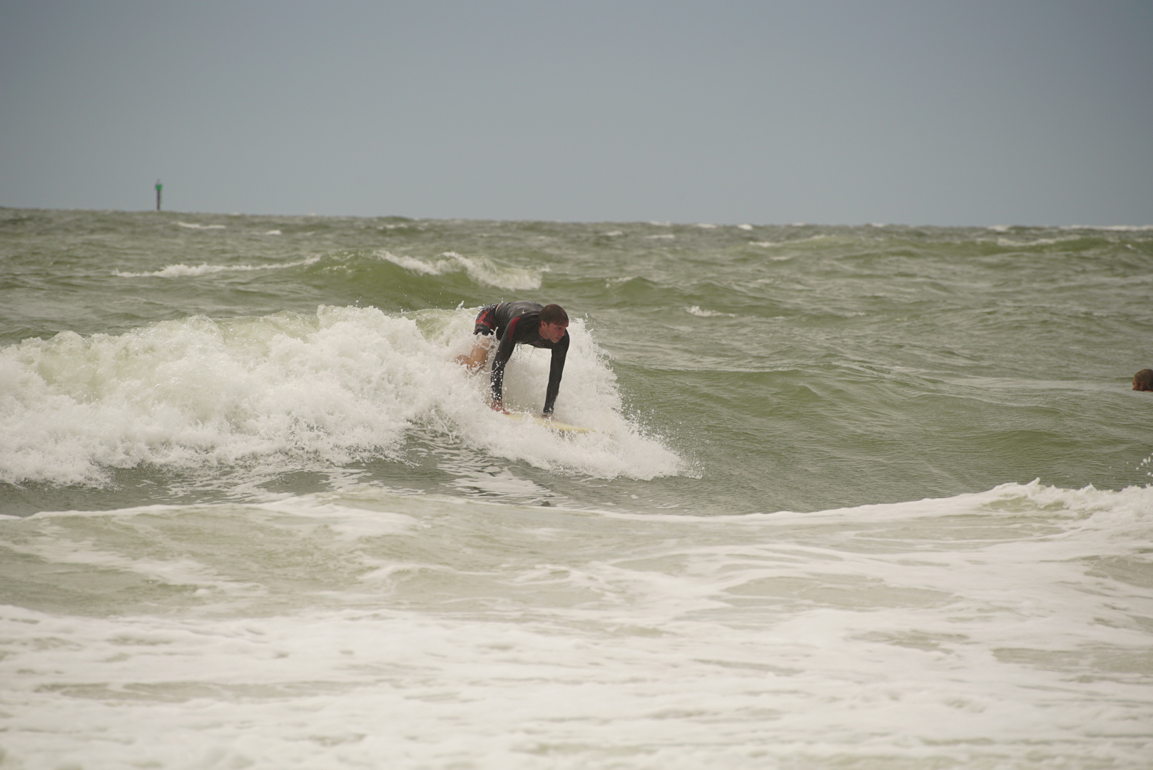
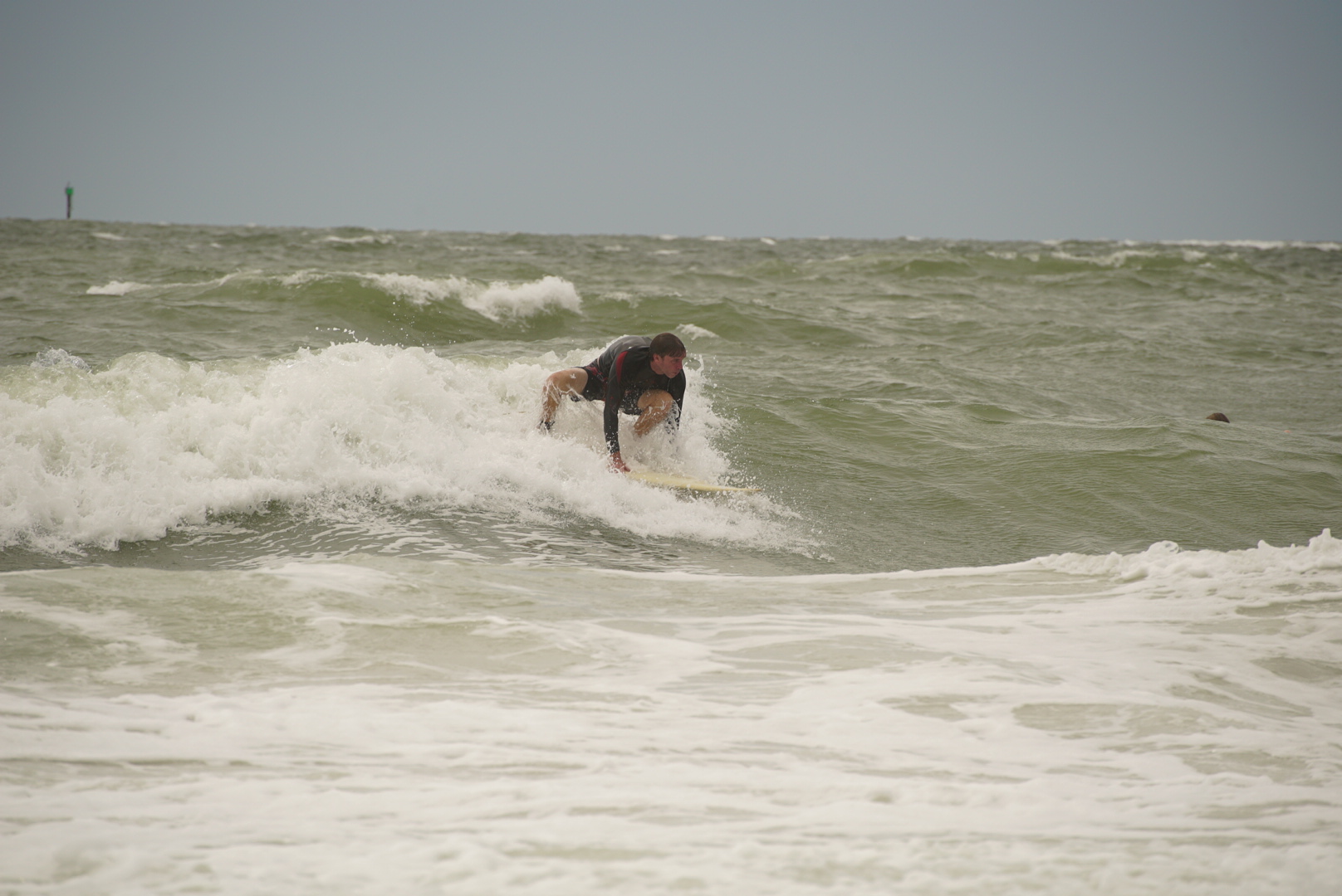
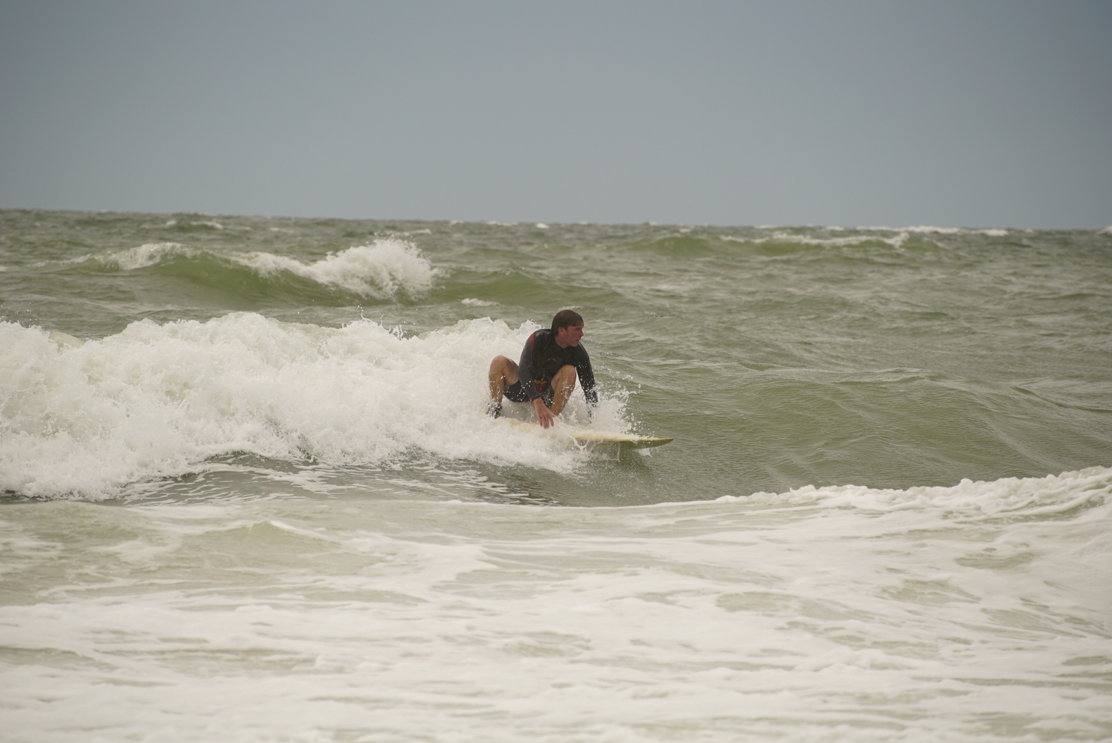
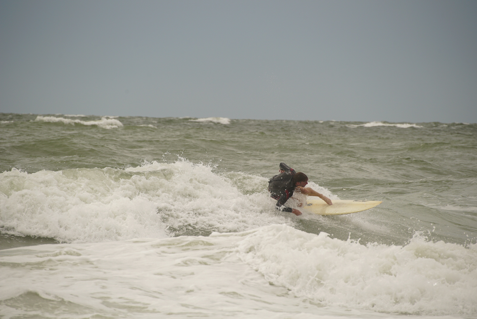
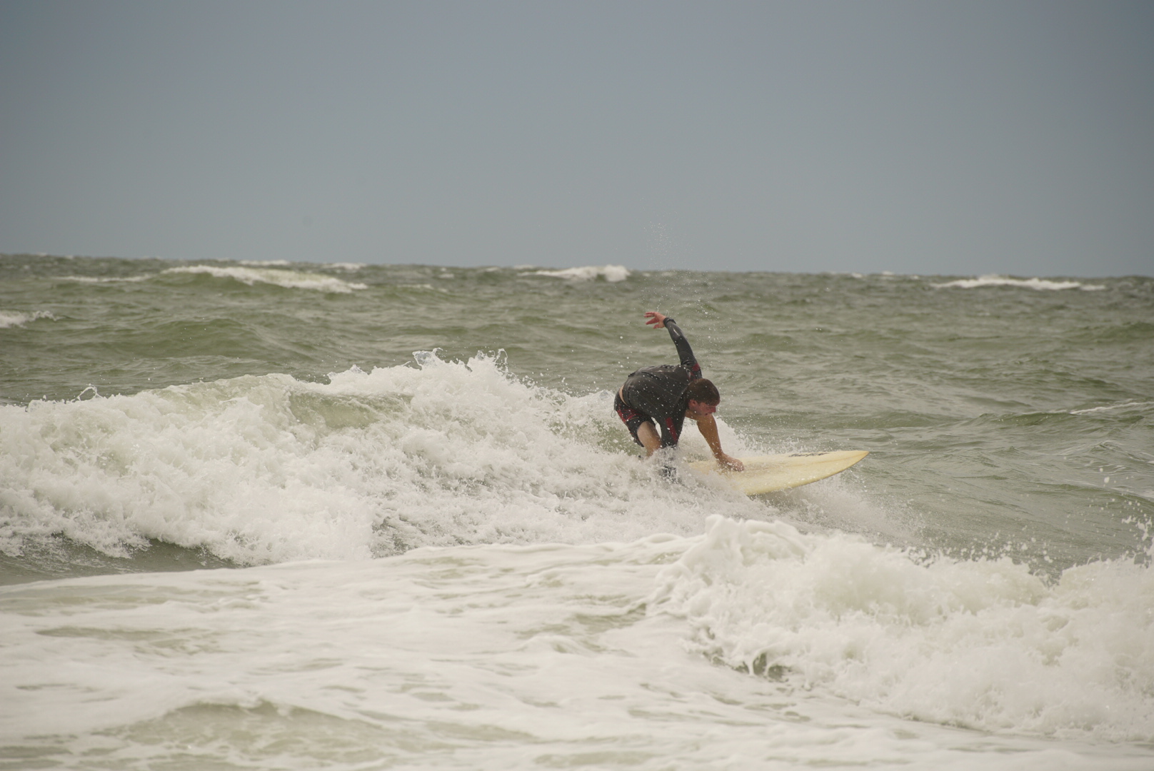
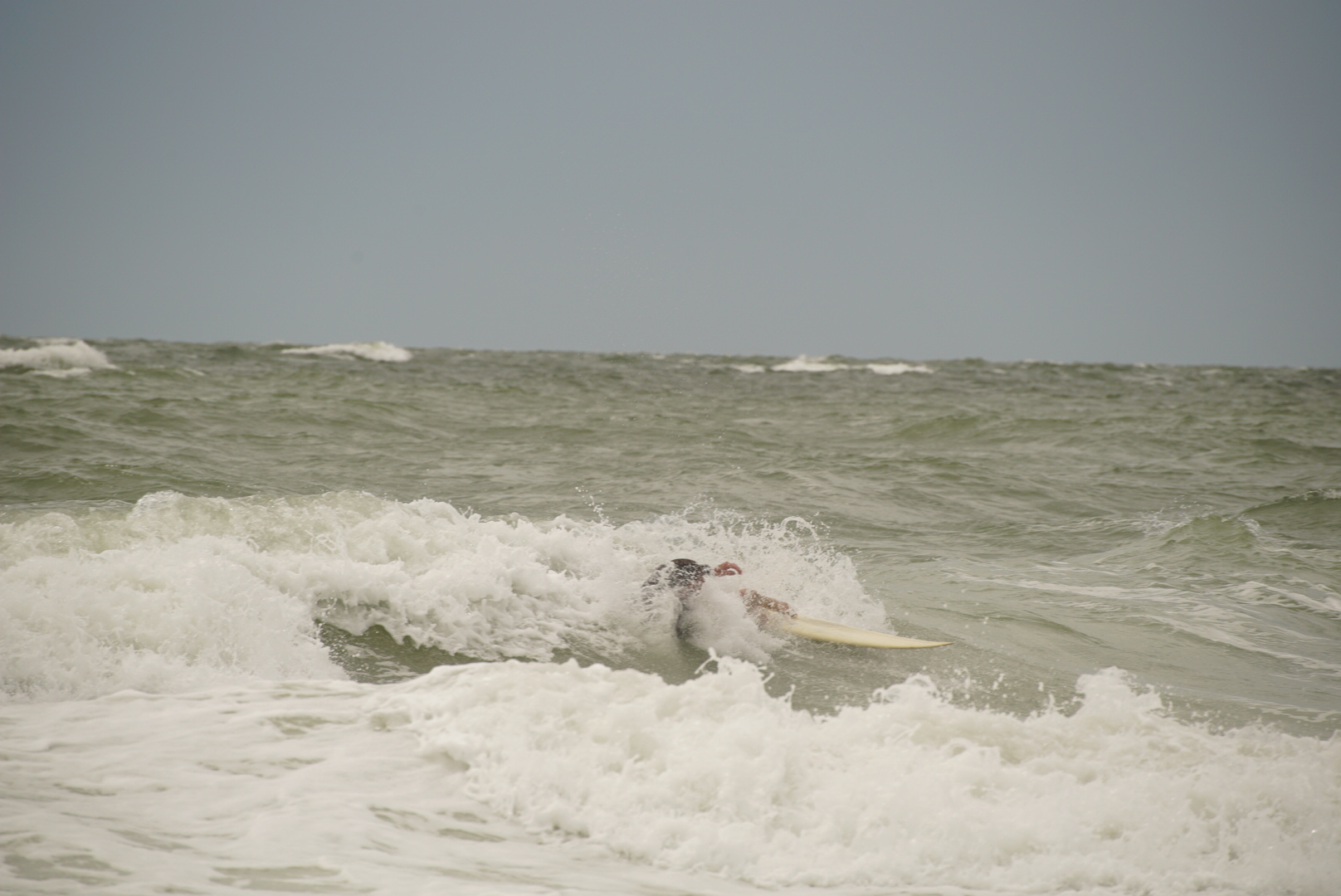
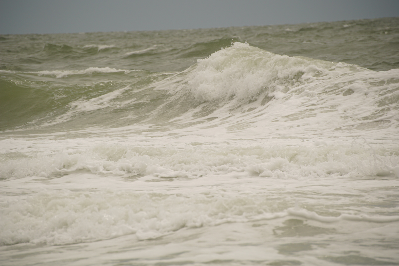
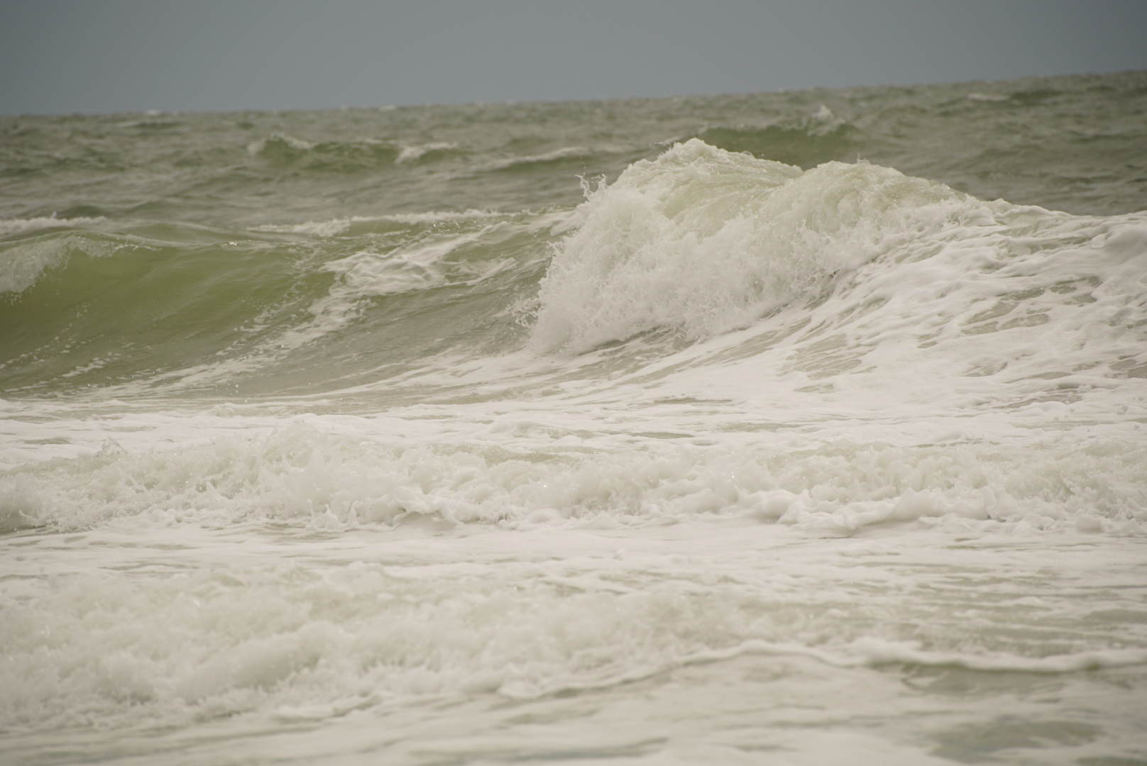
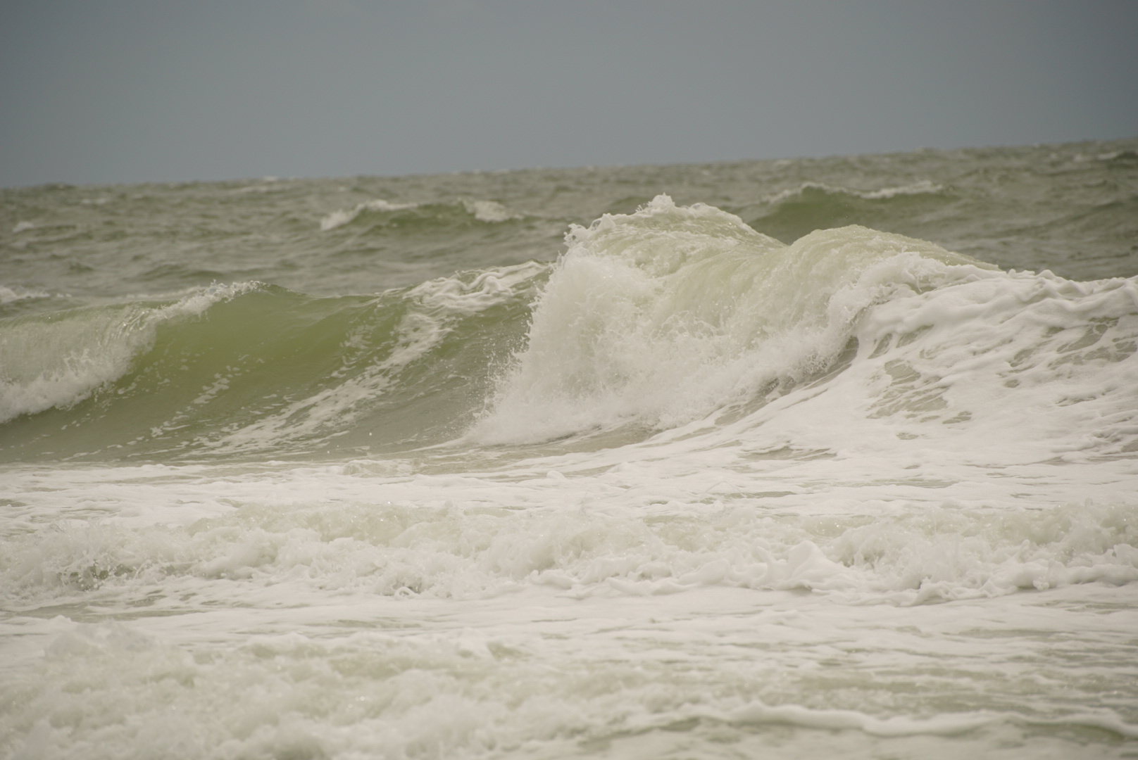
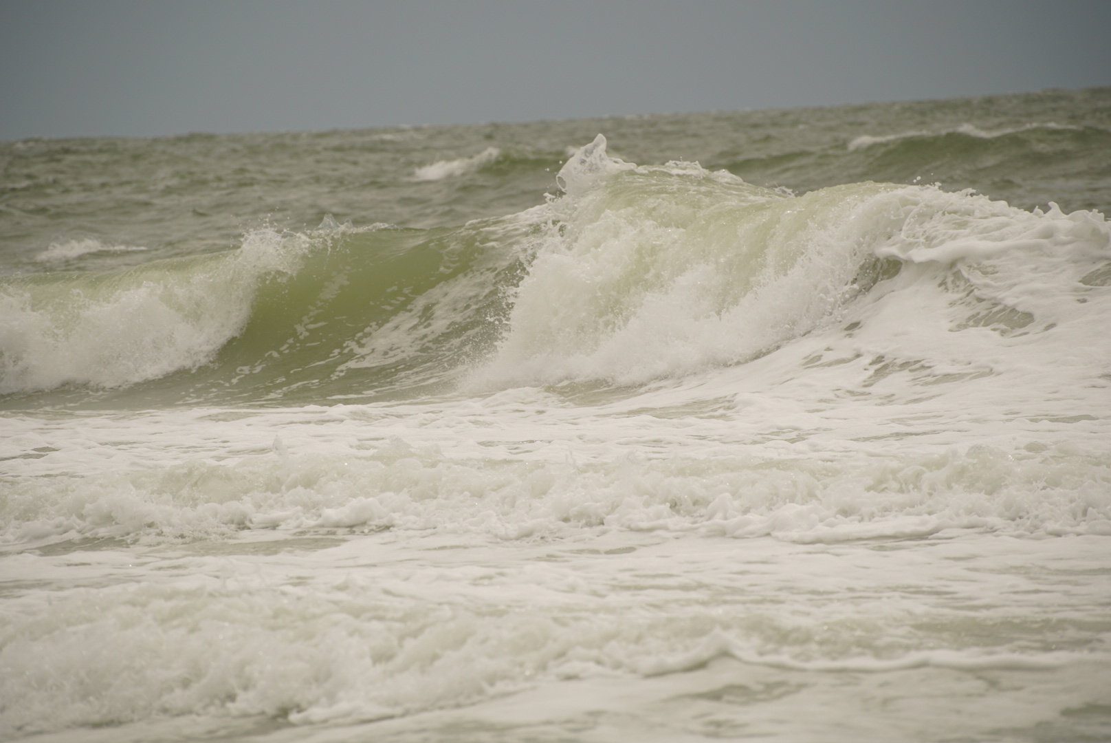
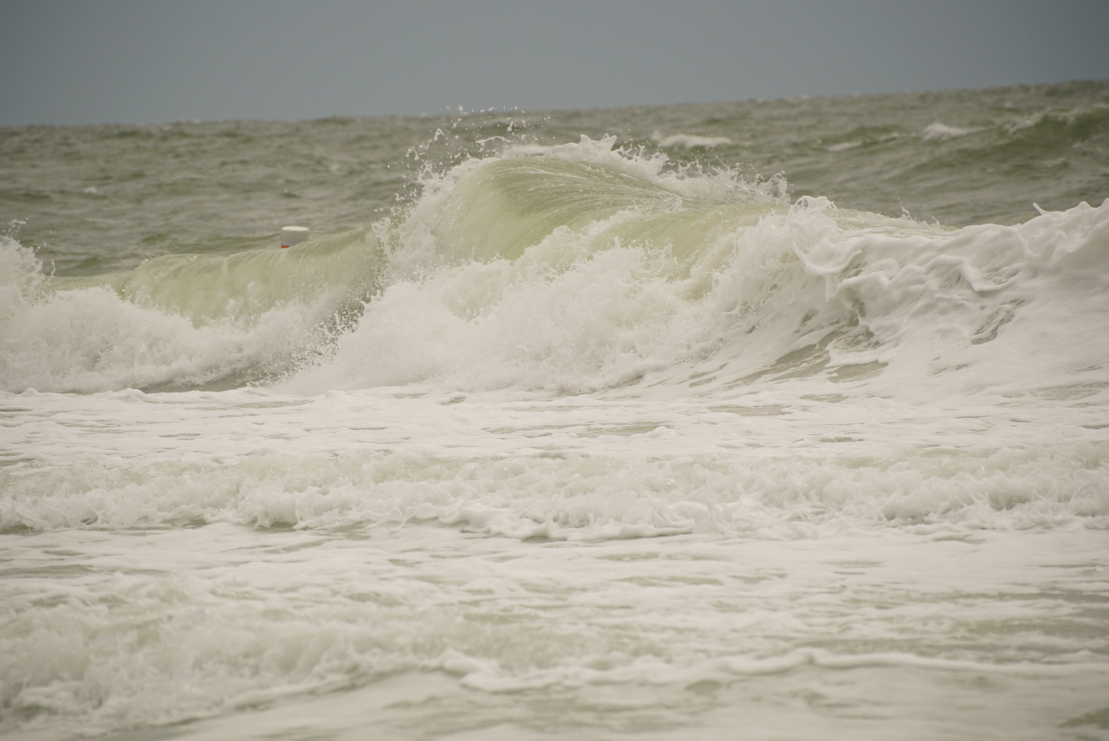
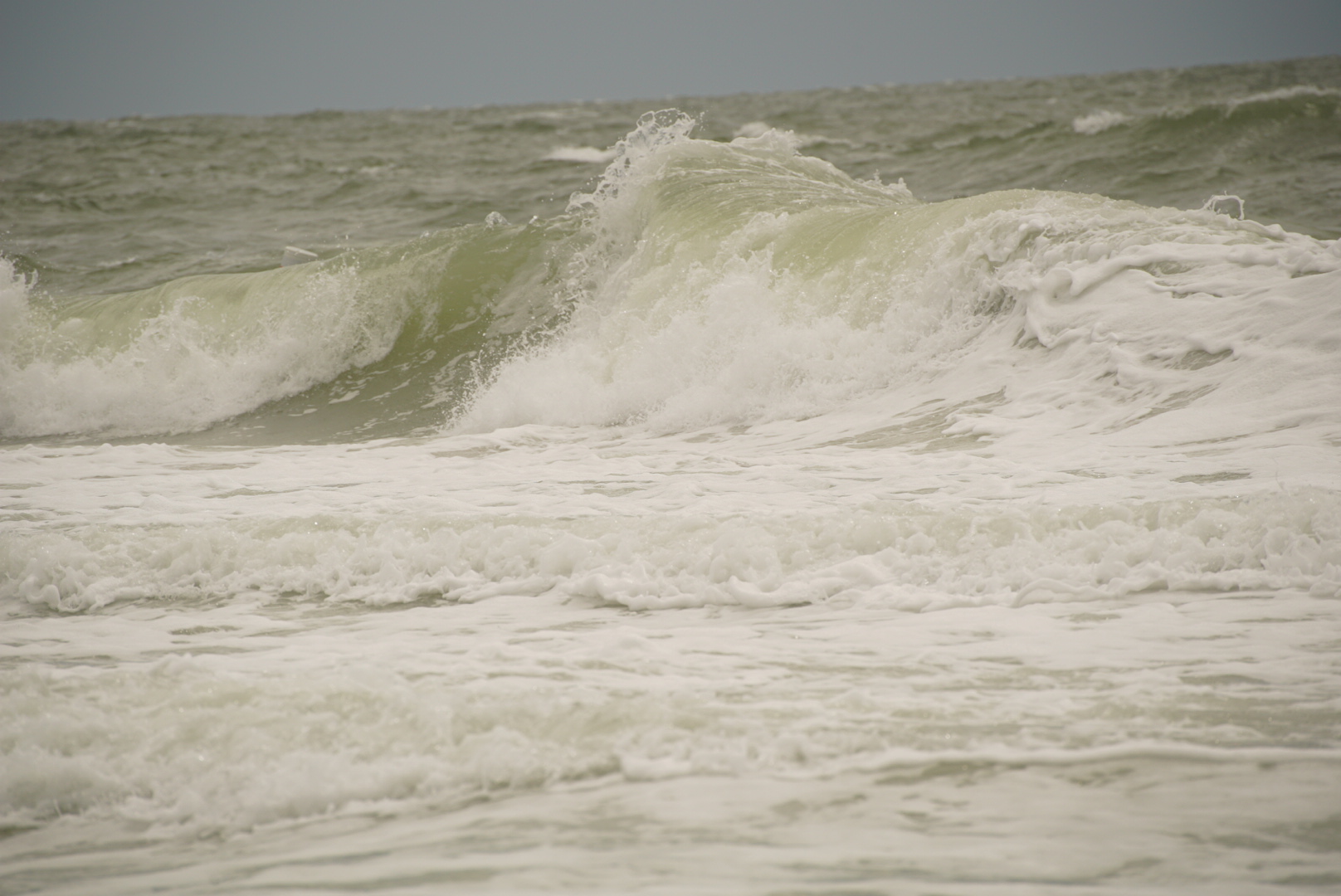
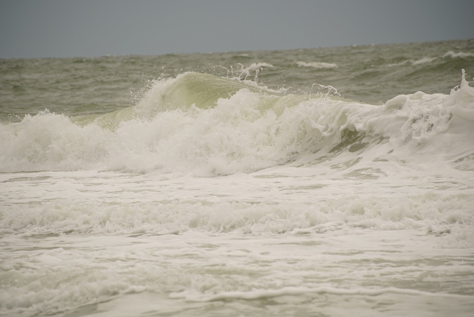
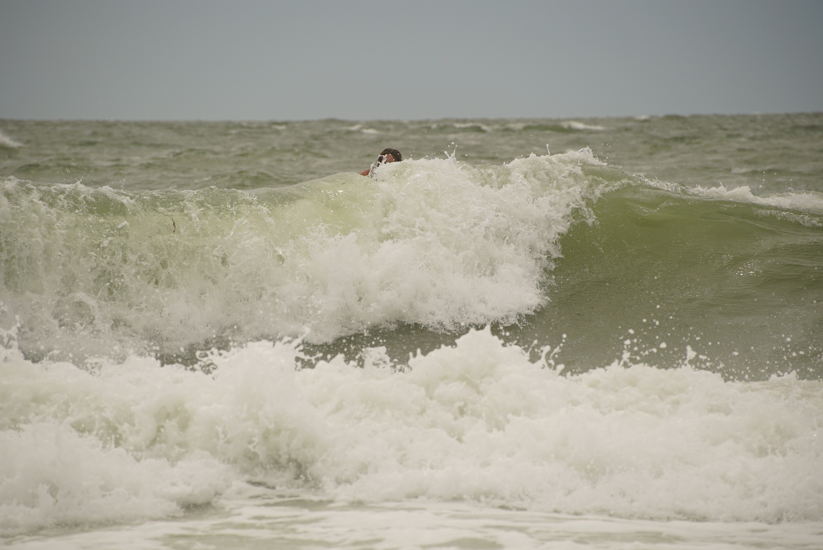
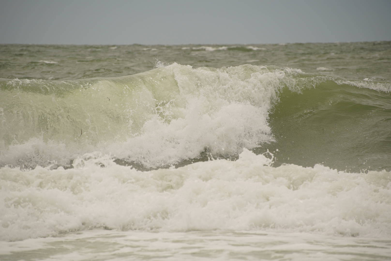
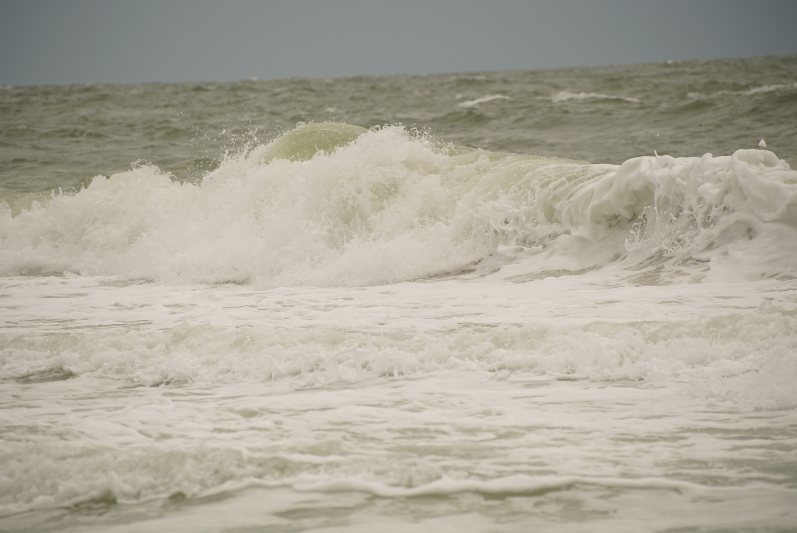
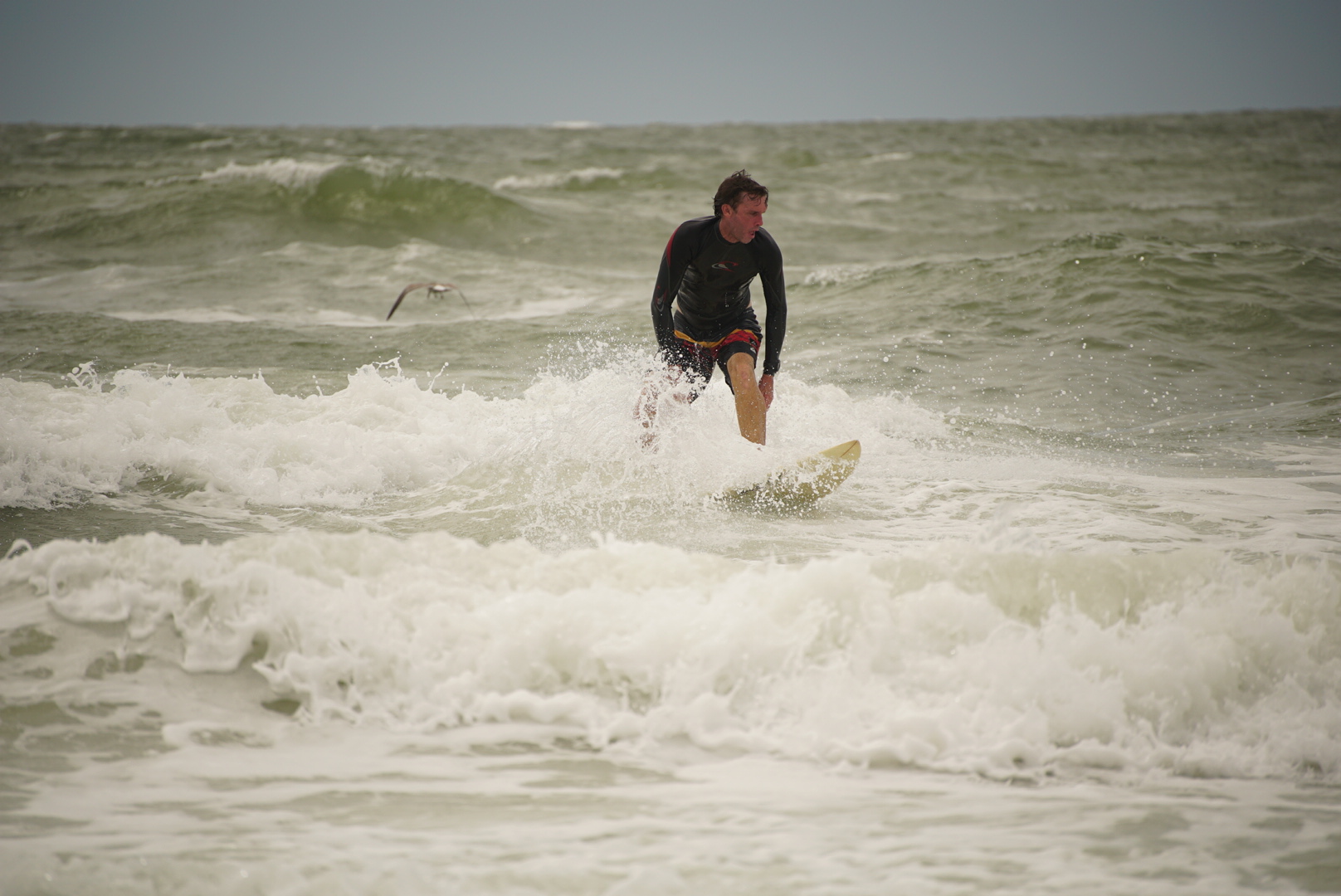
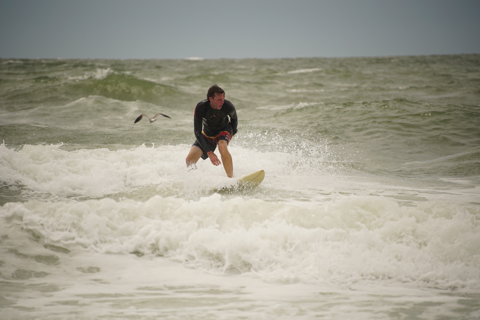
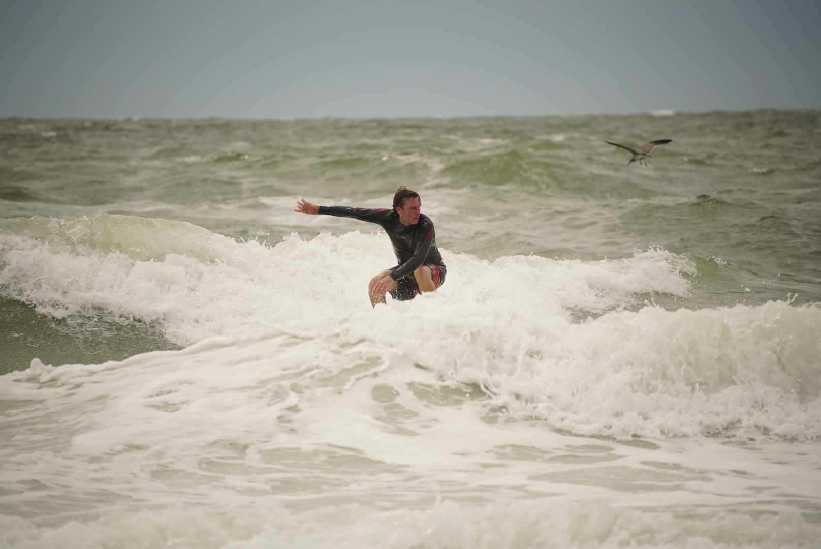
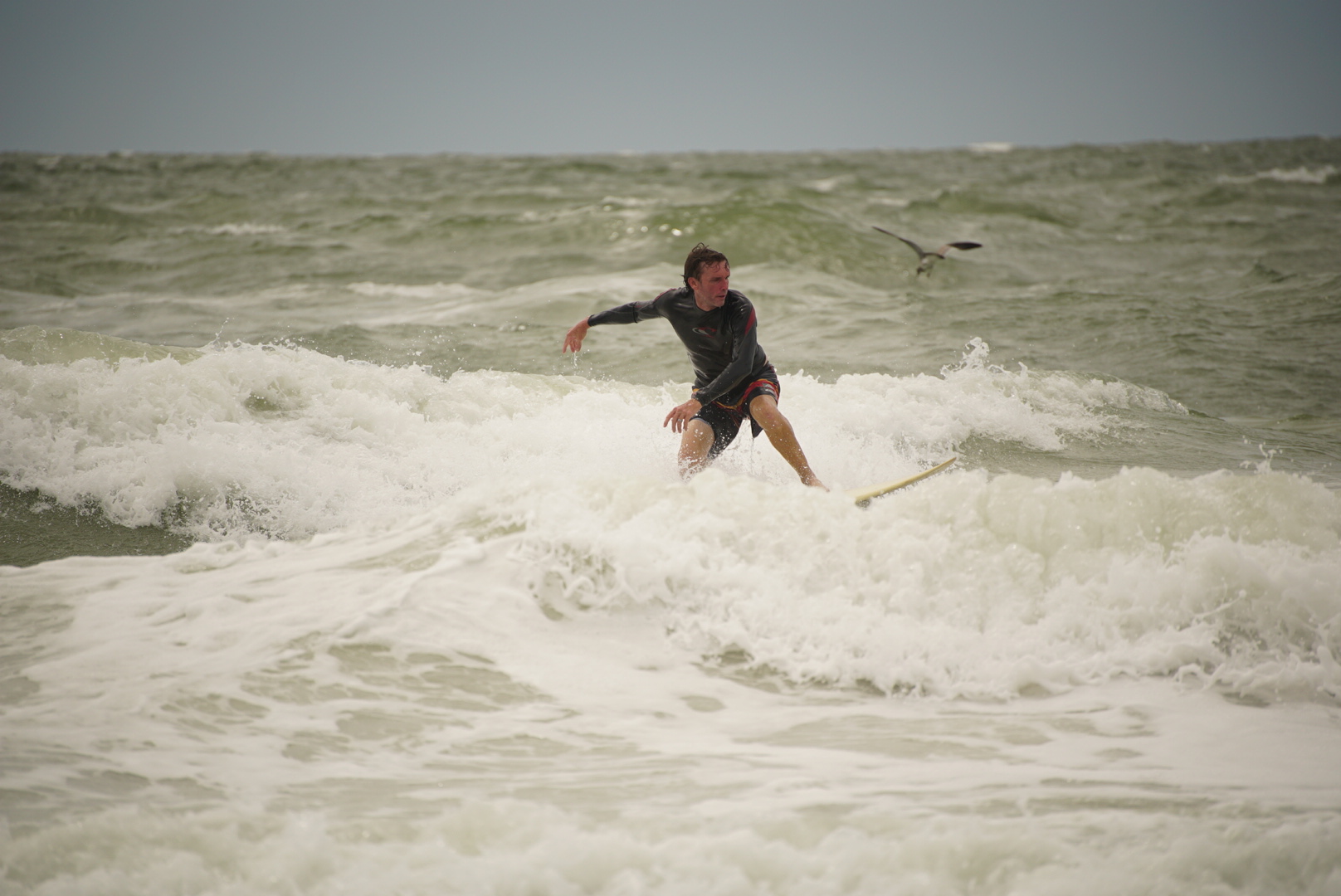
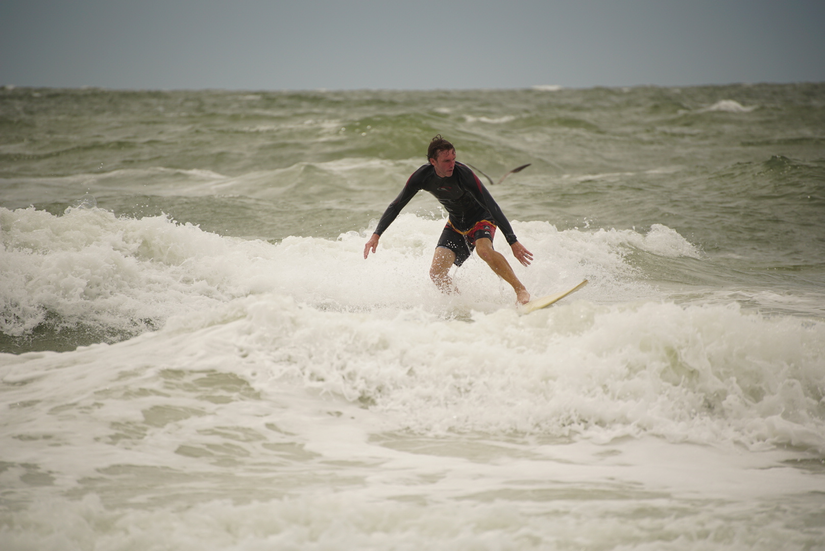
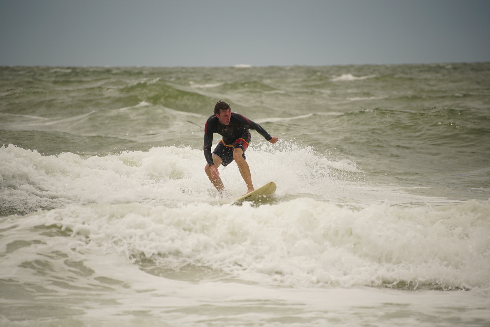
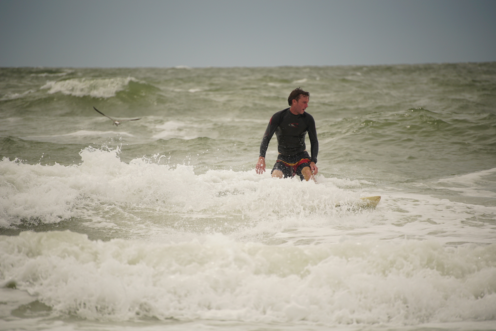
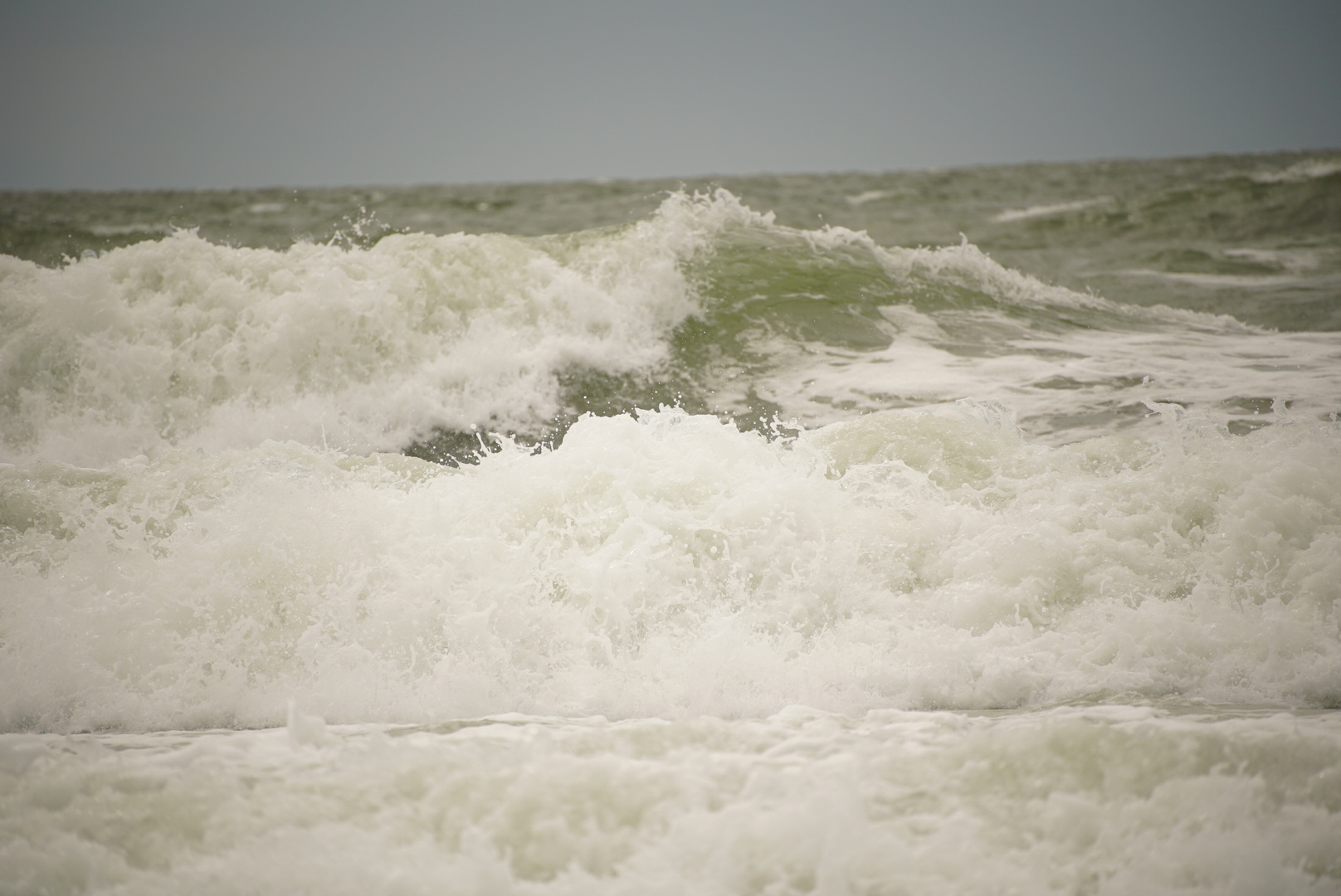
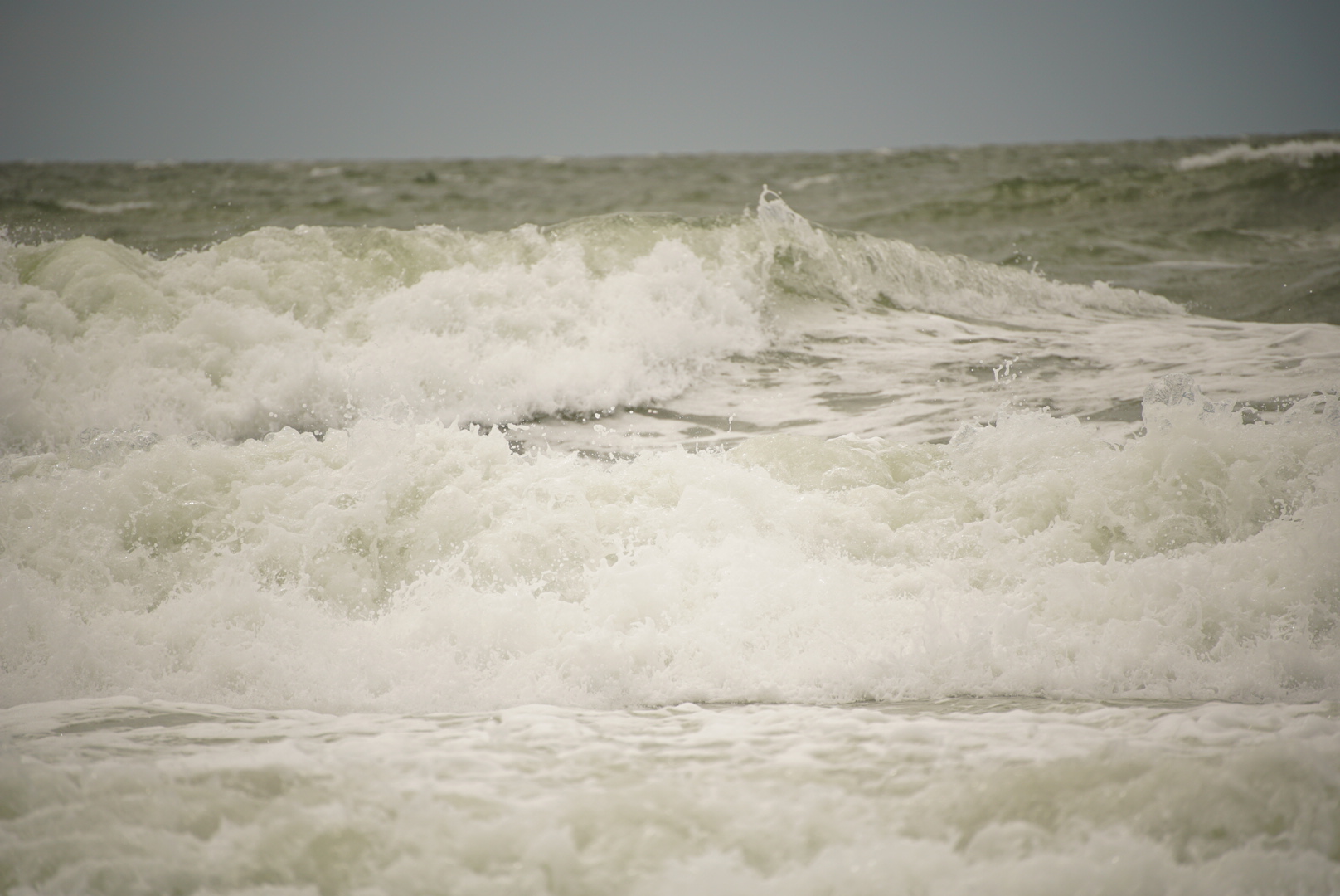
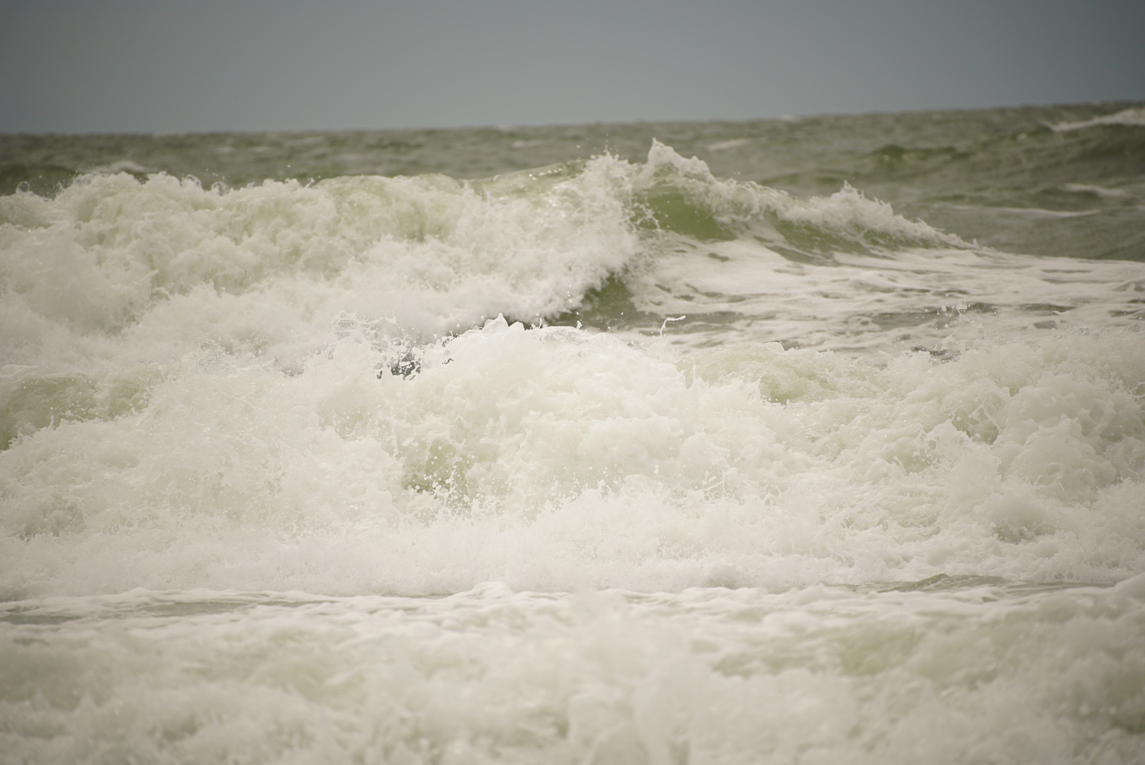
Red Tide Surf Report


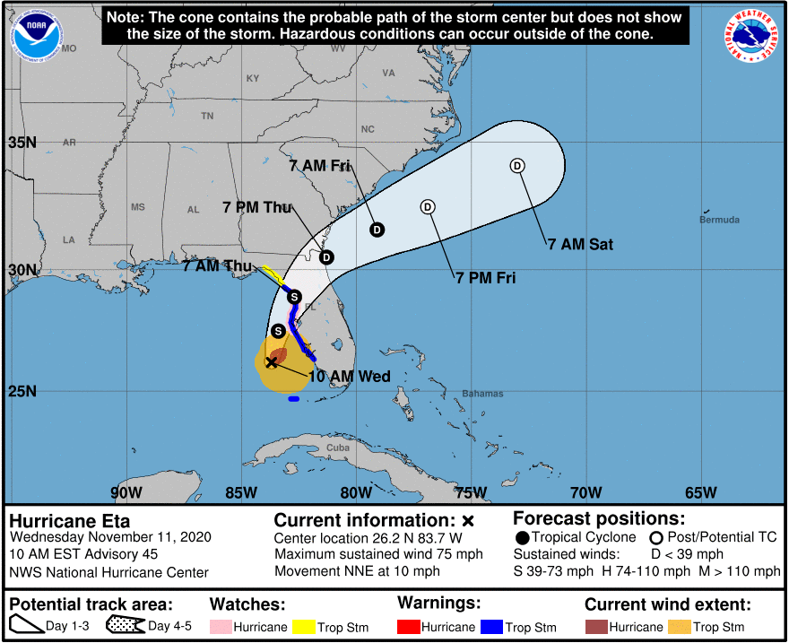
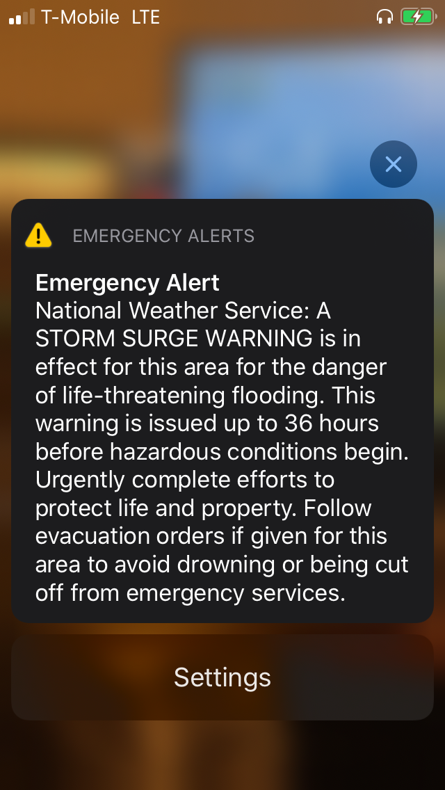
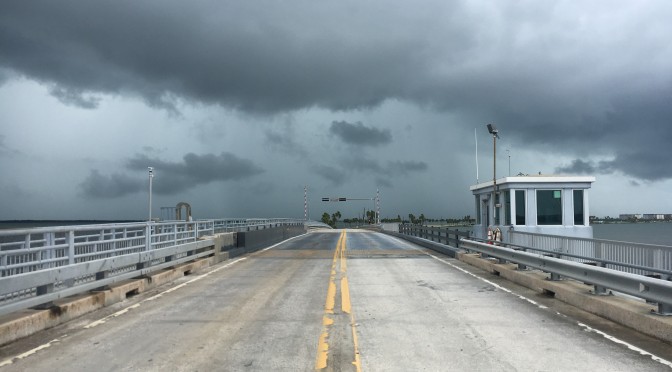
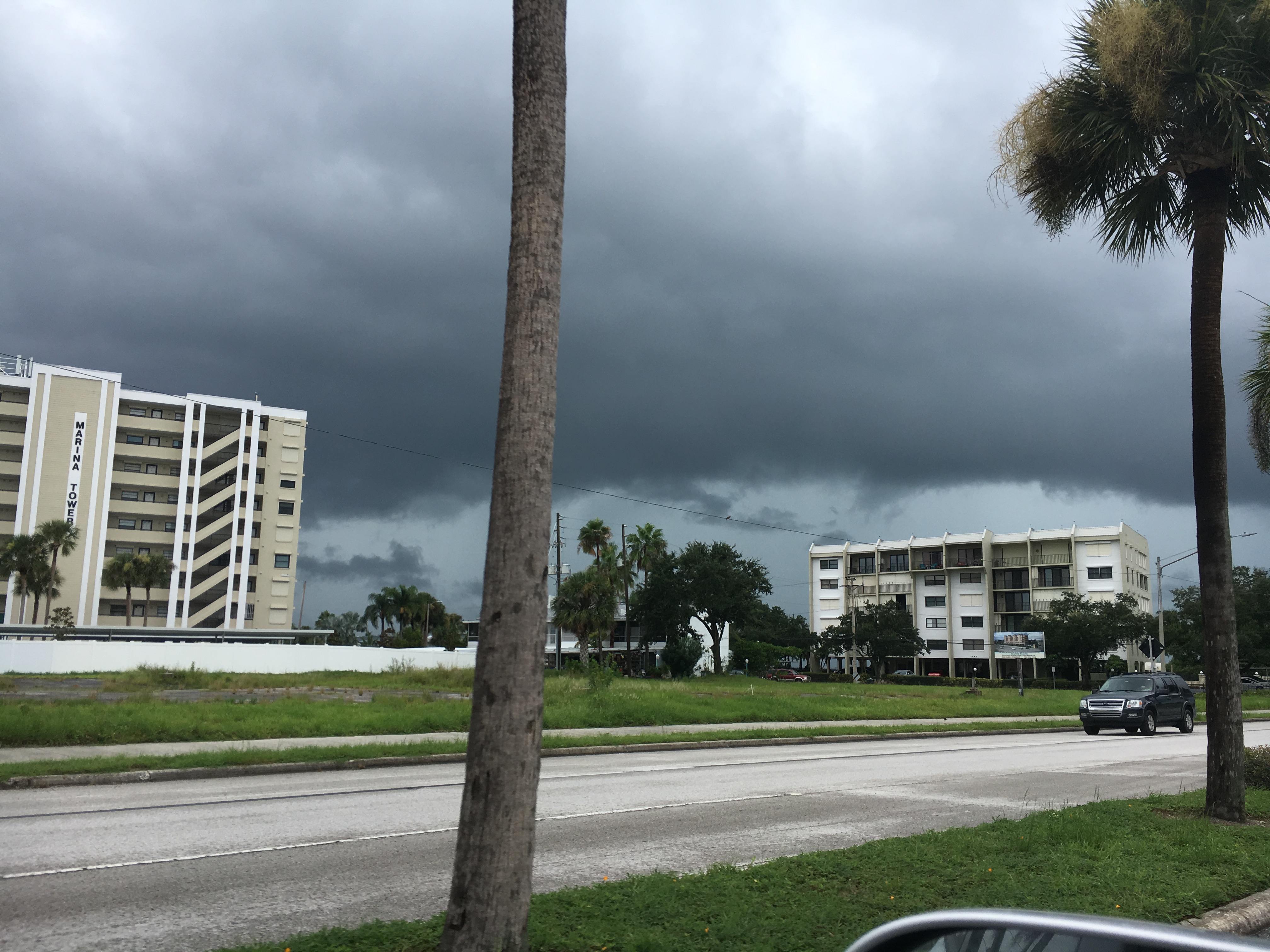
Clearwater Beach During Hurricane Eta
Here Comes Hurricane Eta
This is the 10am advisory update with a storm track taking this hurricane’s energy and throwing it right at Tampa Bay. Most people will weather the storm. I see flooding as a problem for low lying areas. Go surfing! It doesn’t make landfall until tonight.
Shout out to the people at Arby’s still making me food at 6:45pm tonoght.
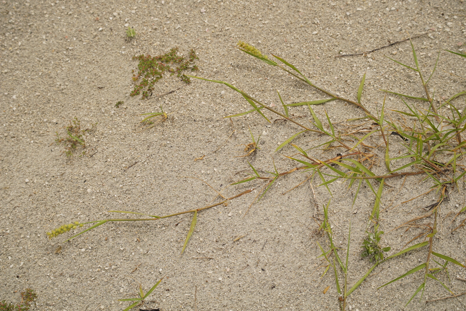
Honeymoon Island(s)!!!!
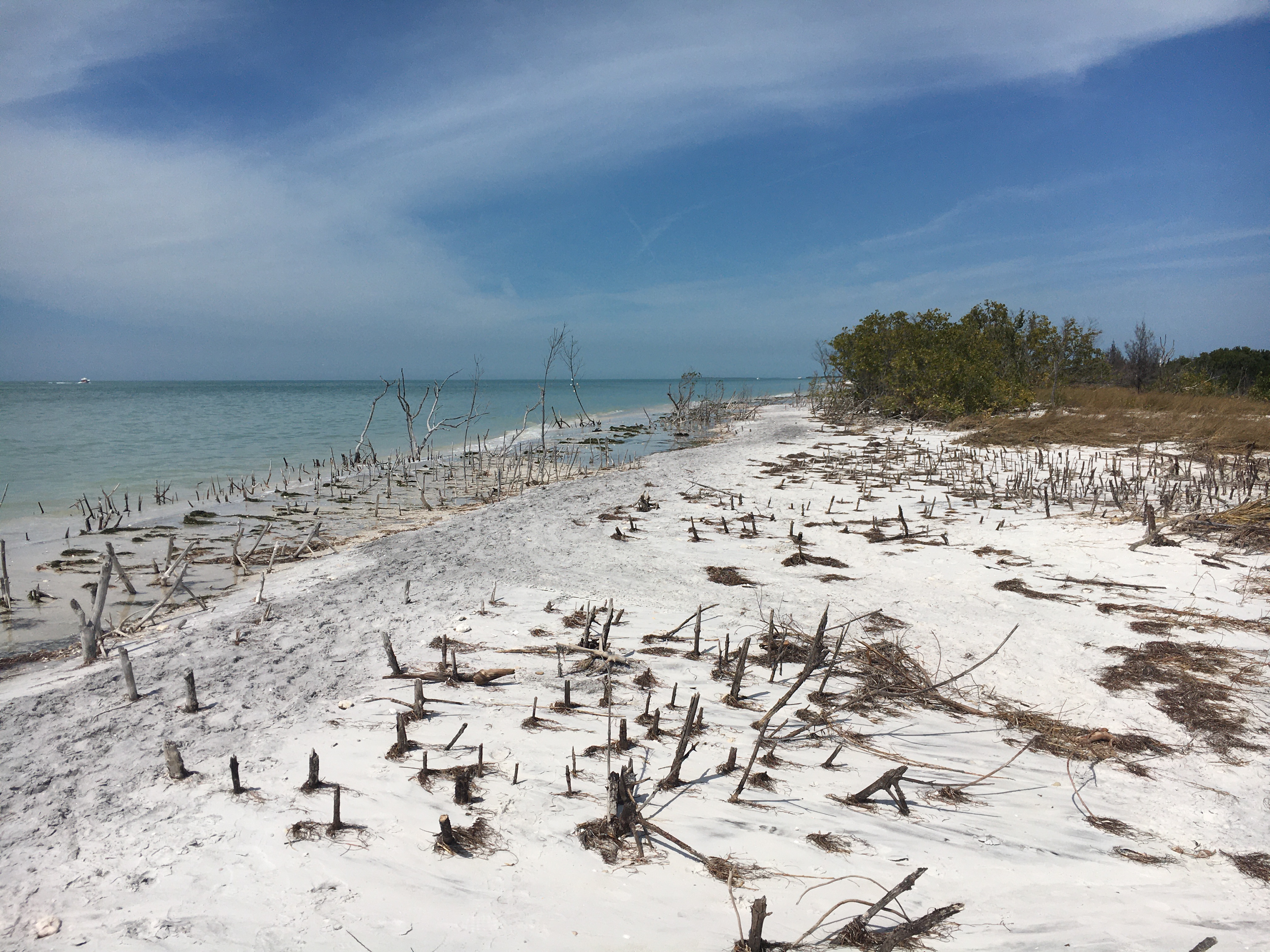
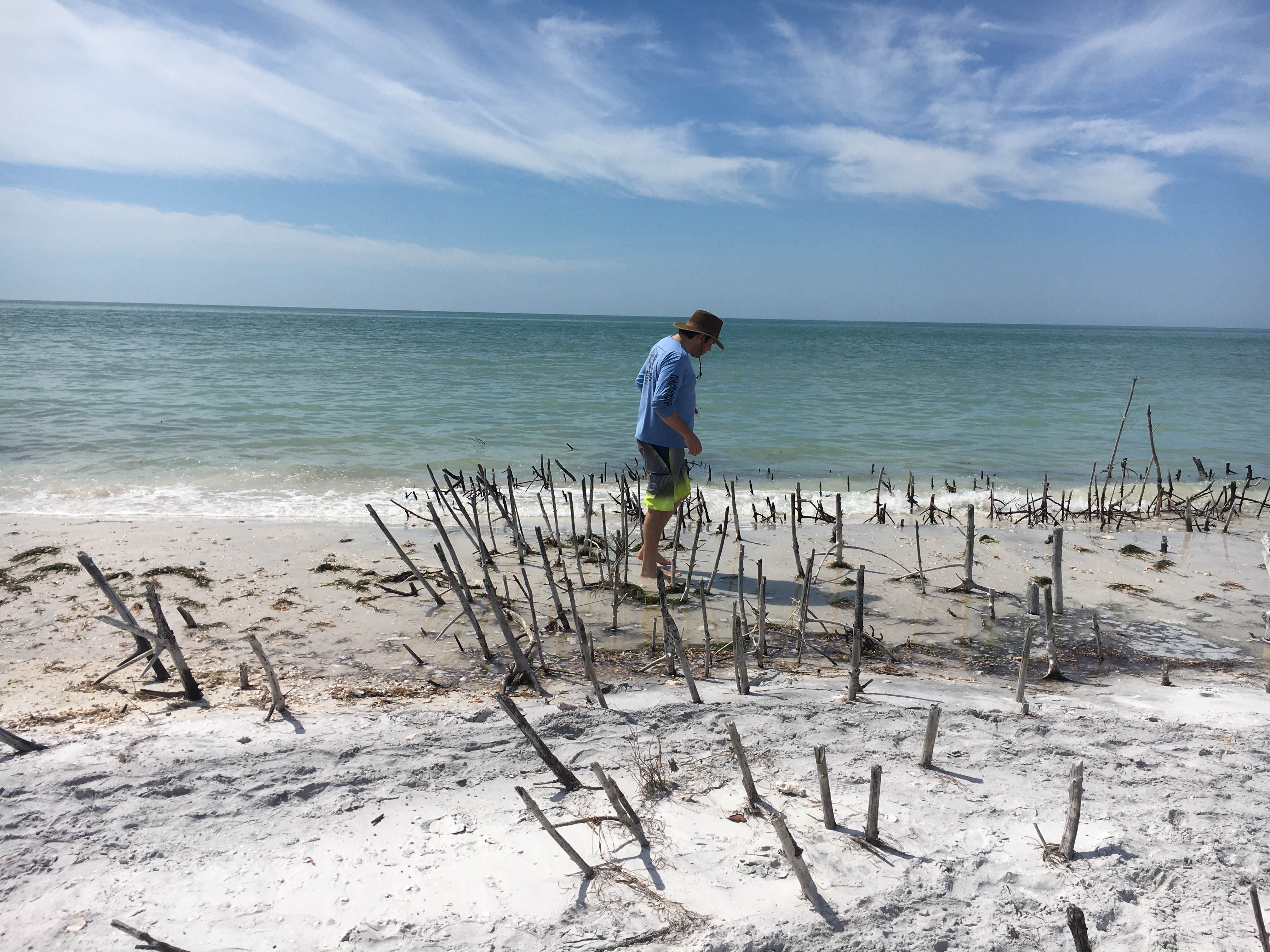
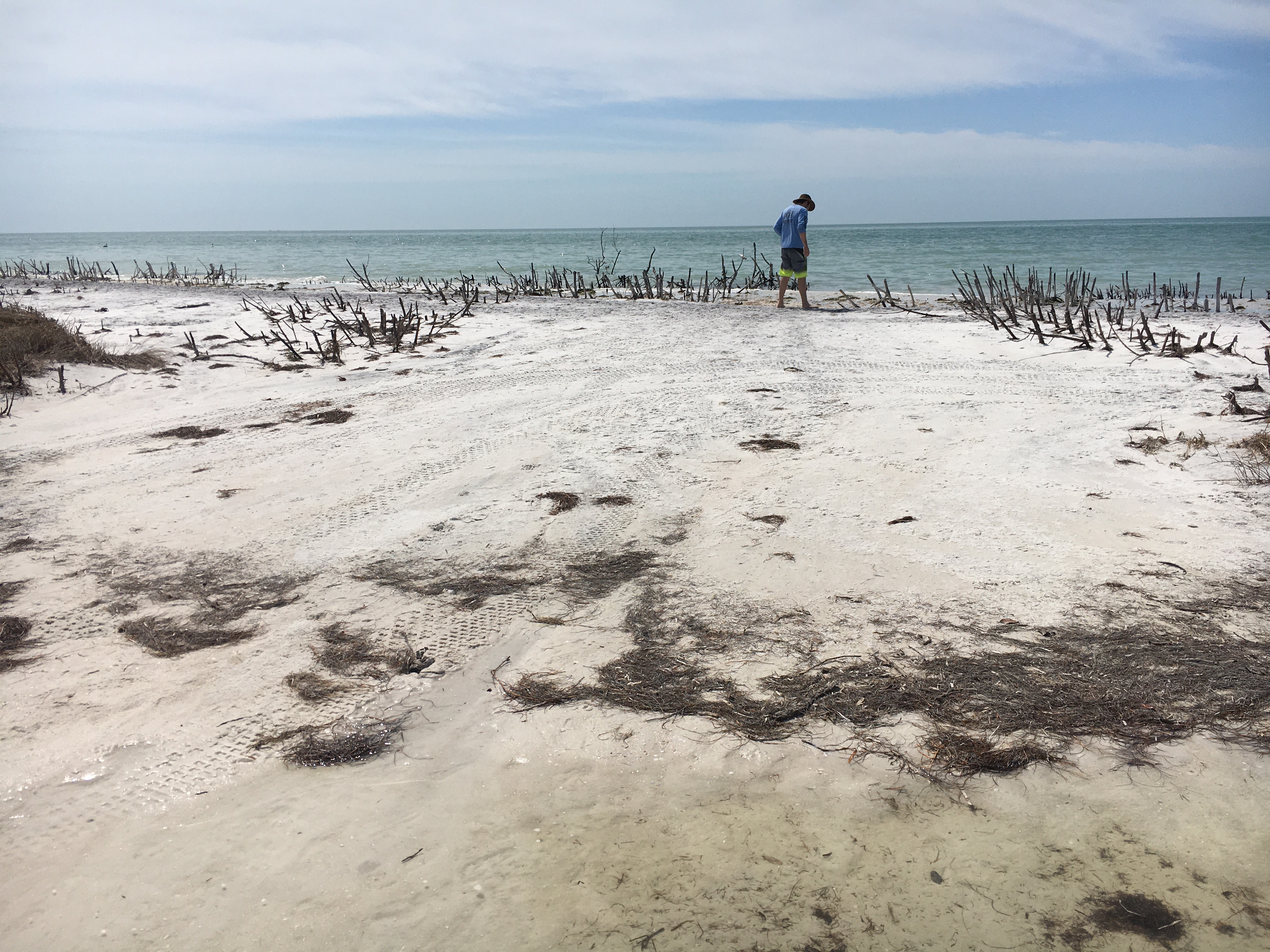
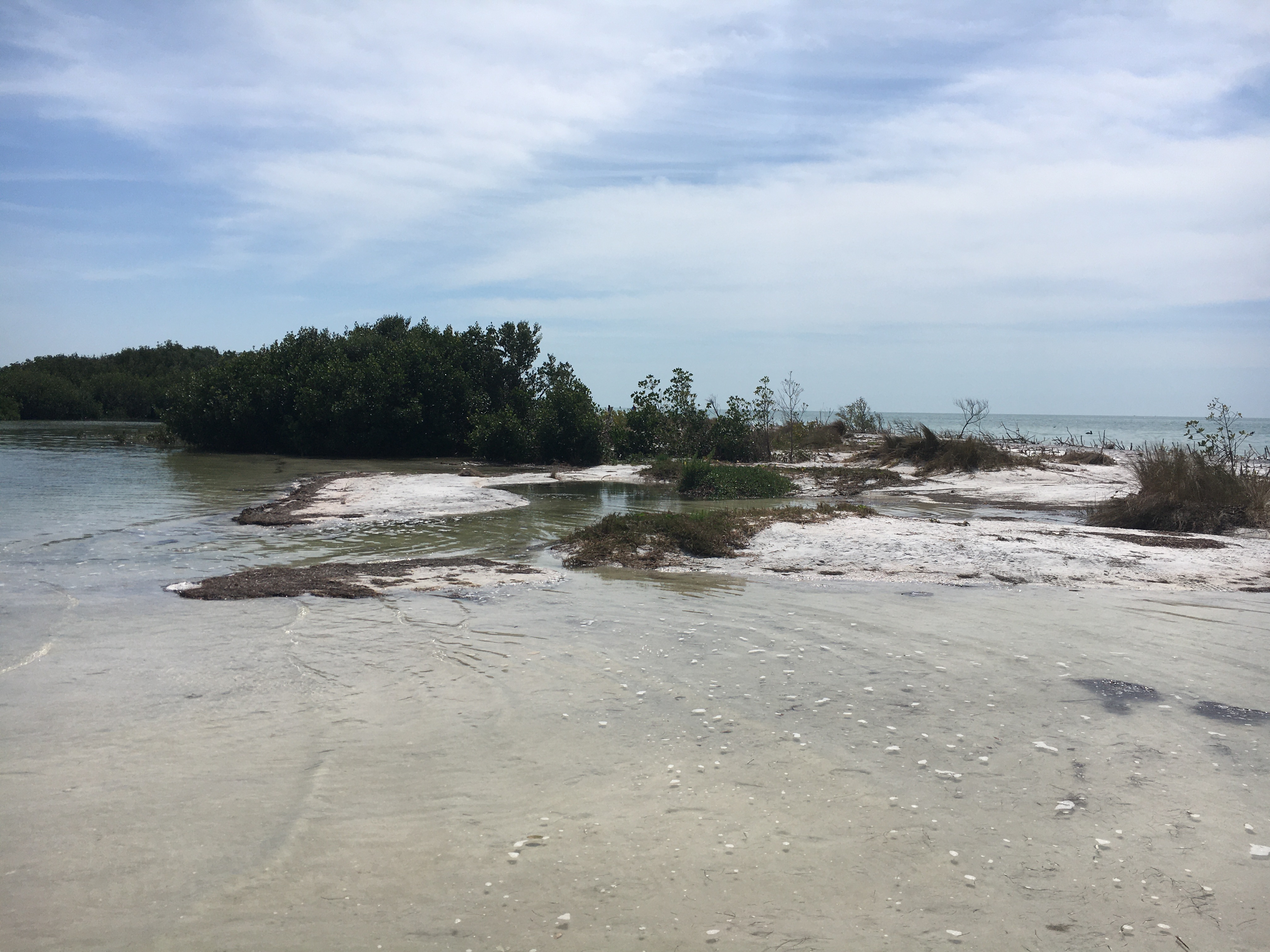
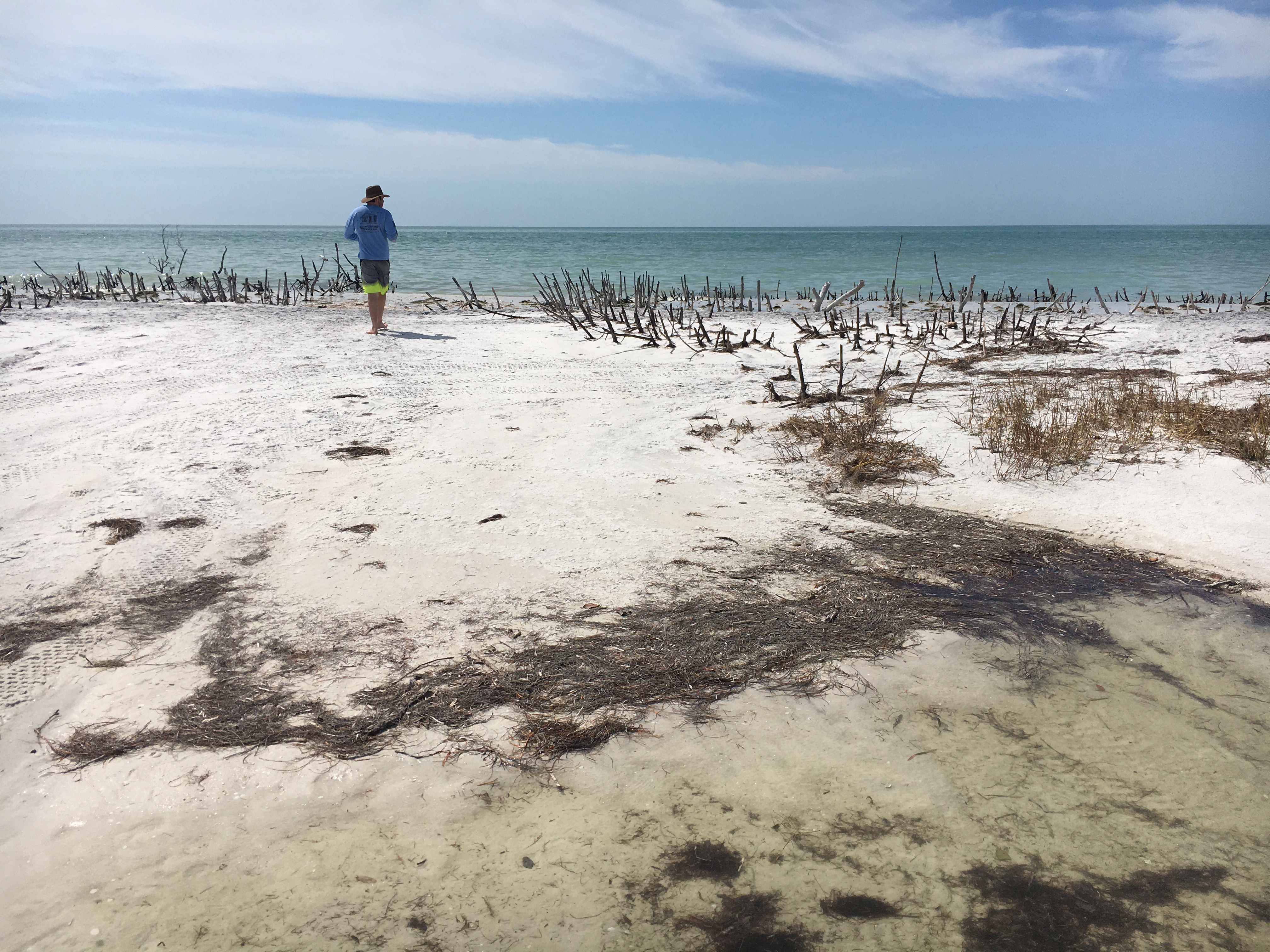
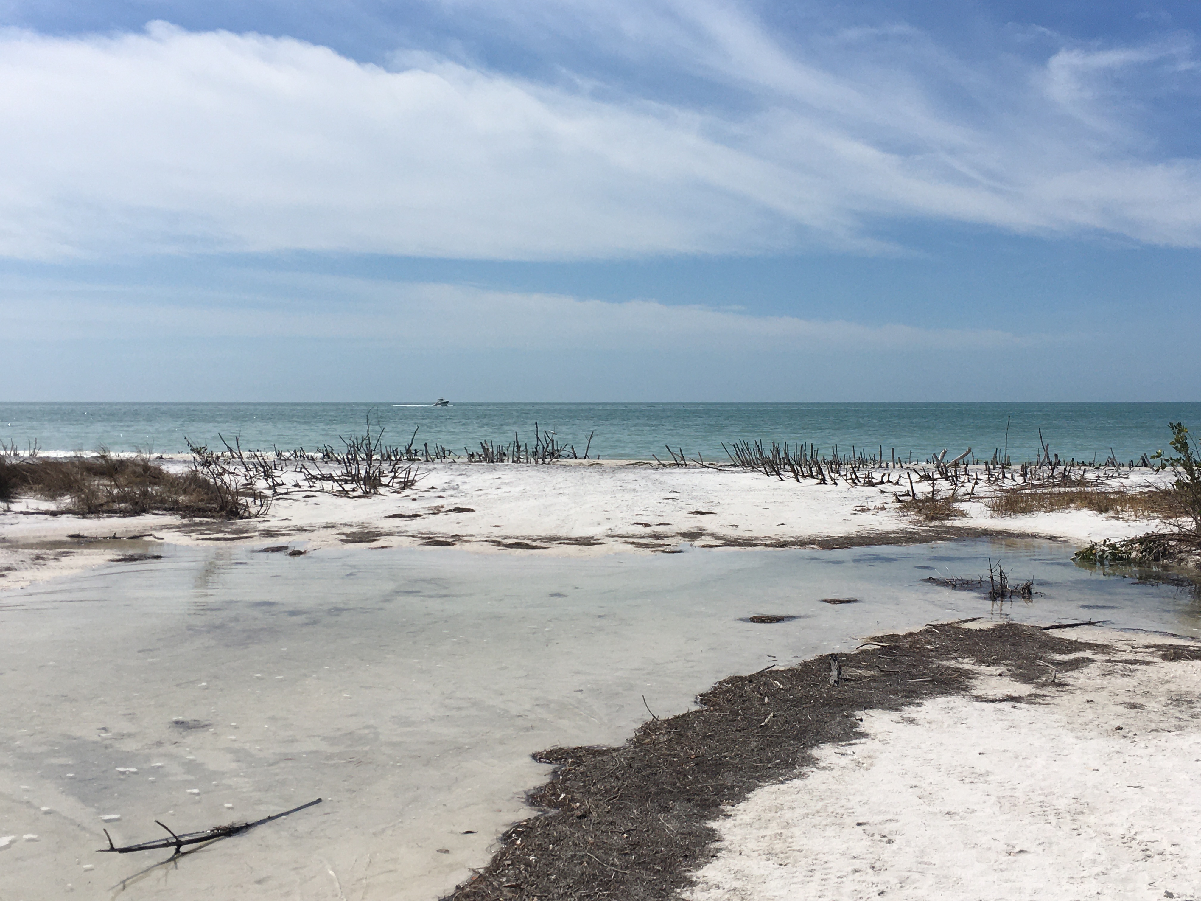
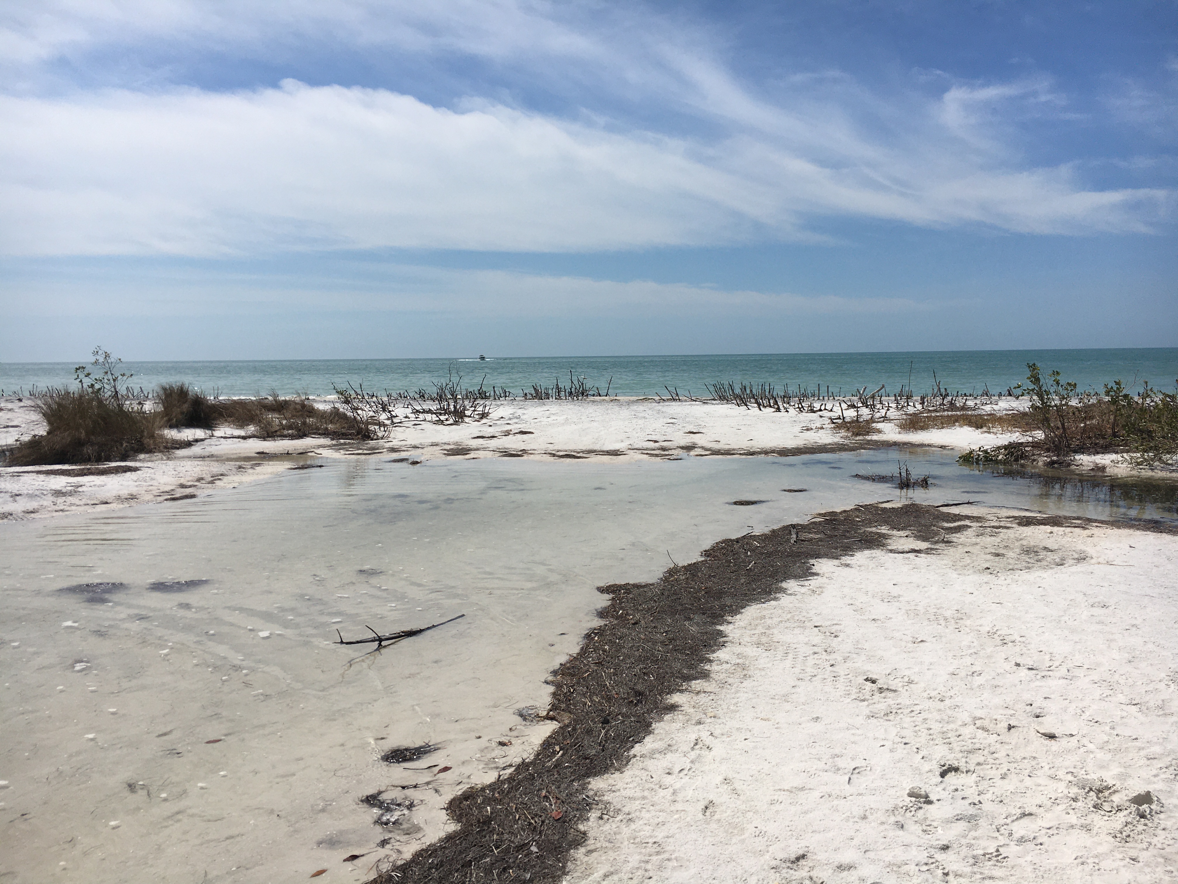
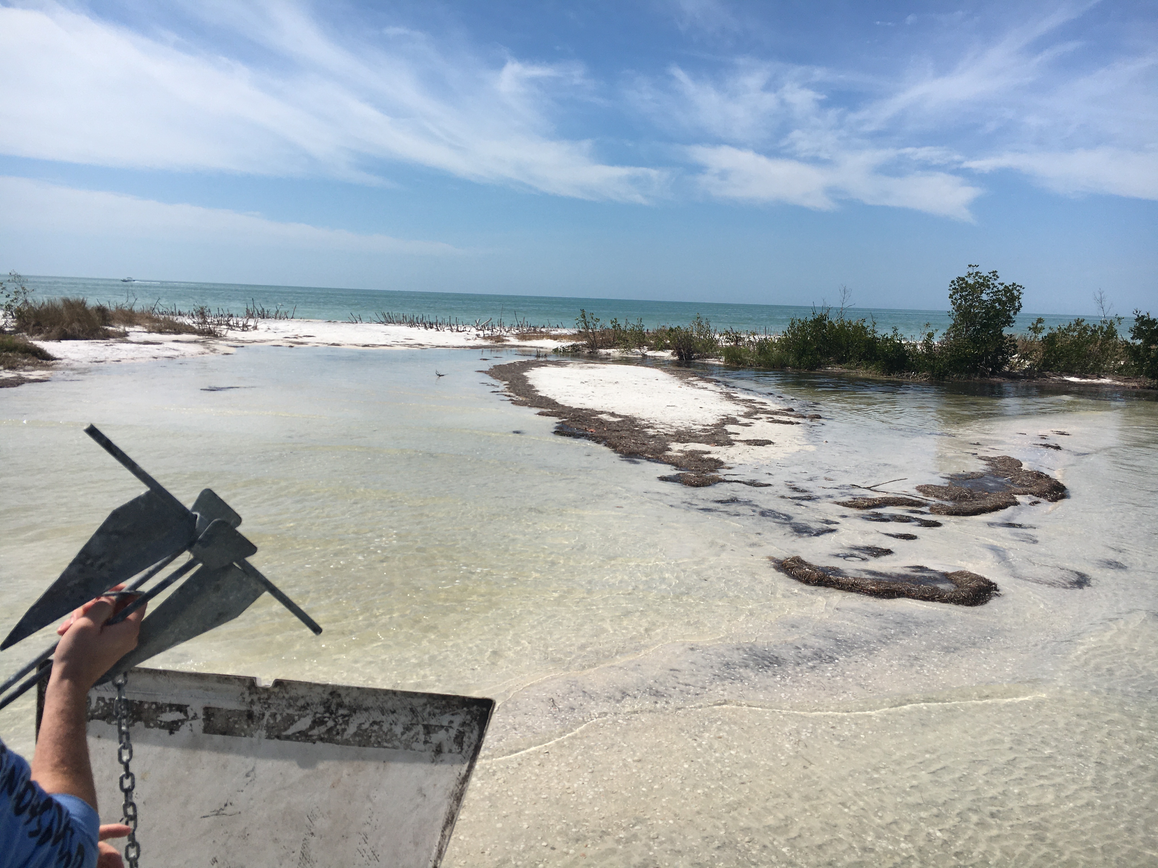
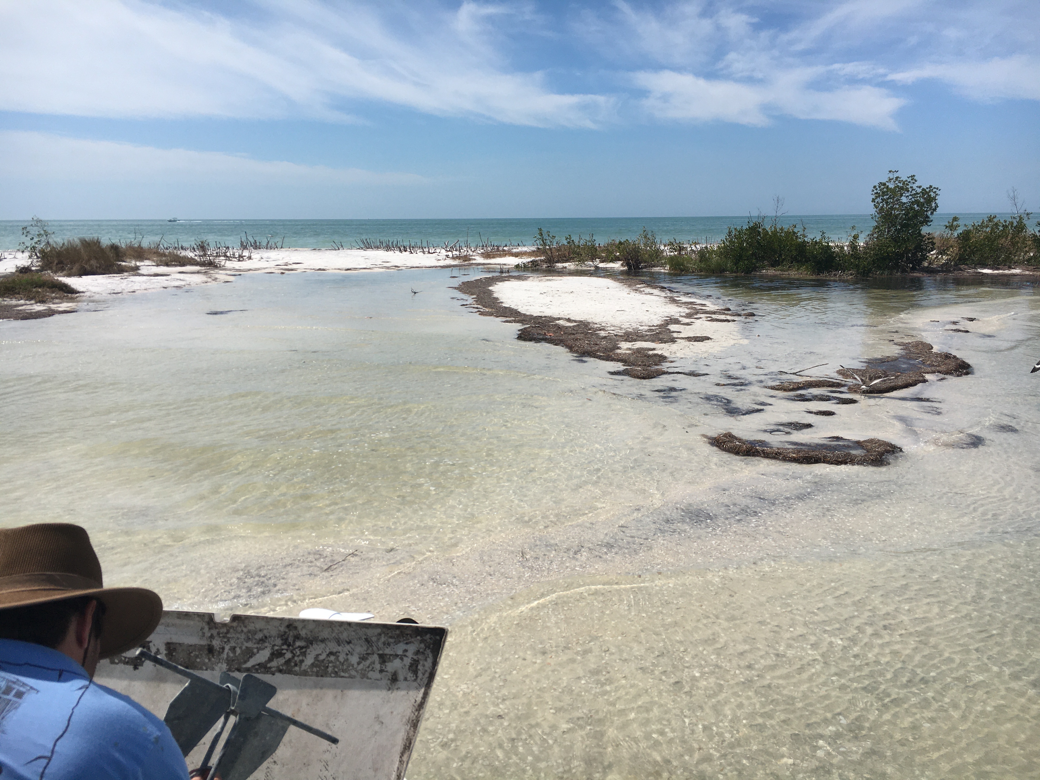
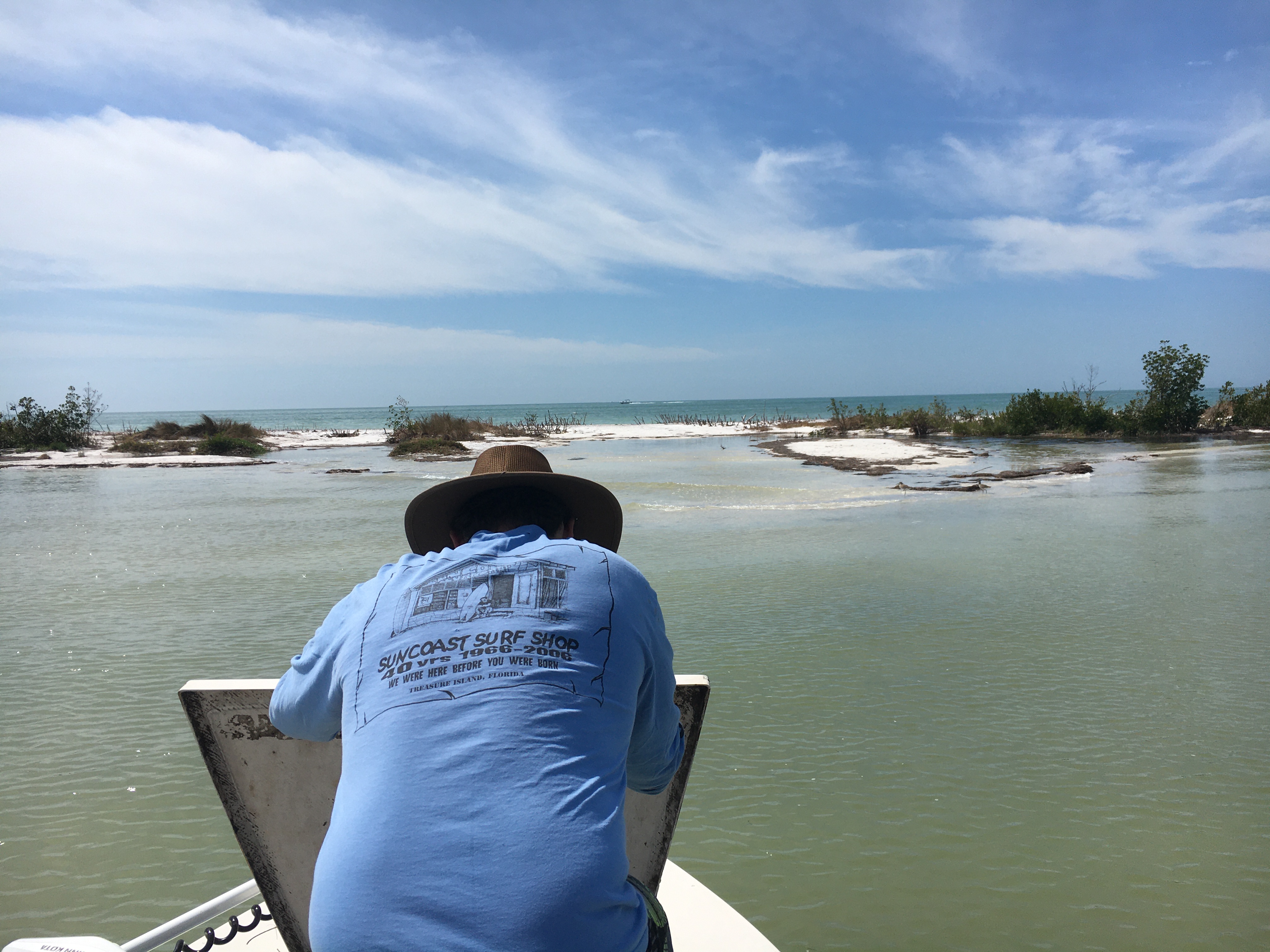
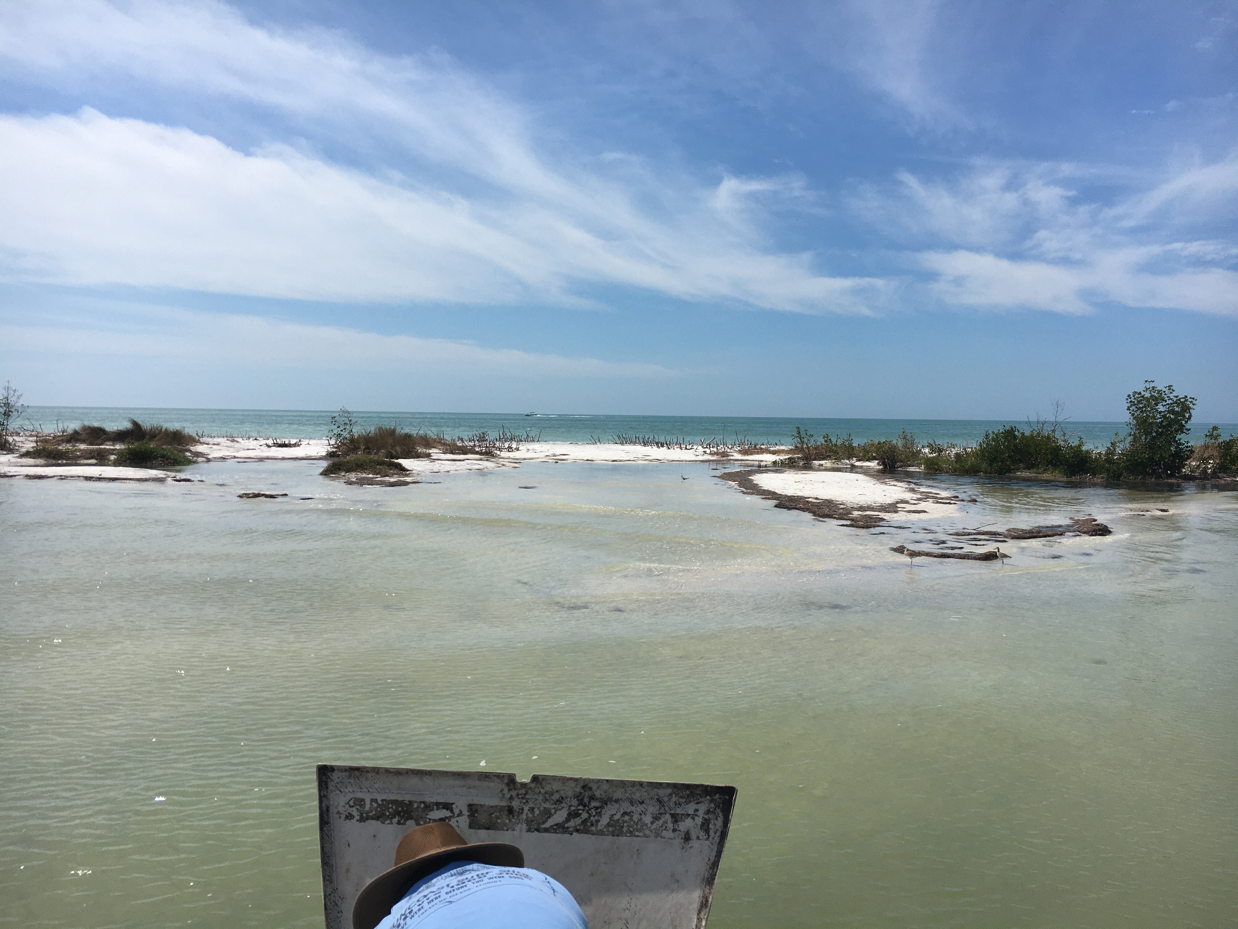
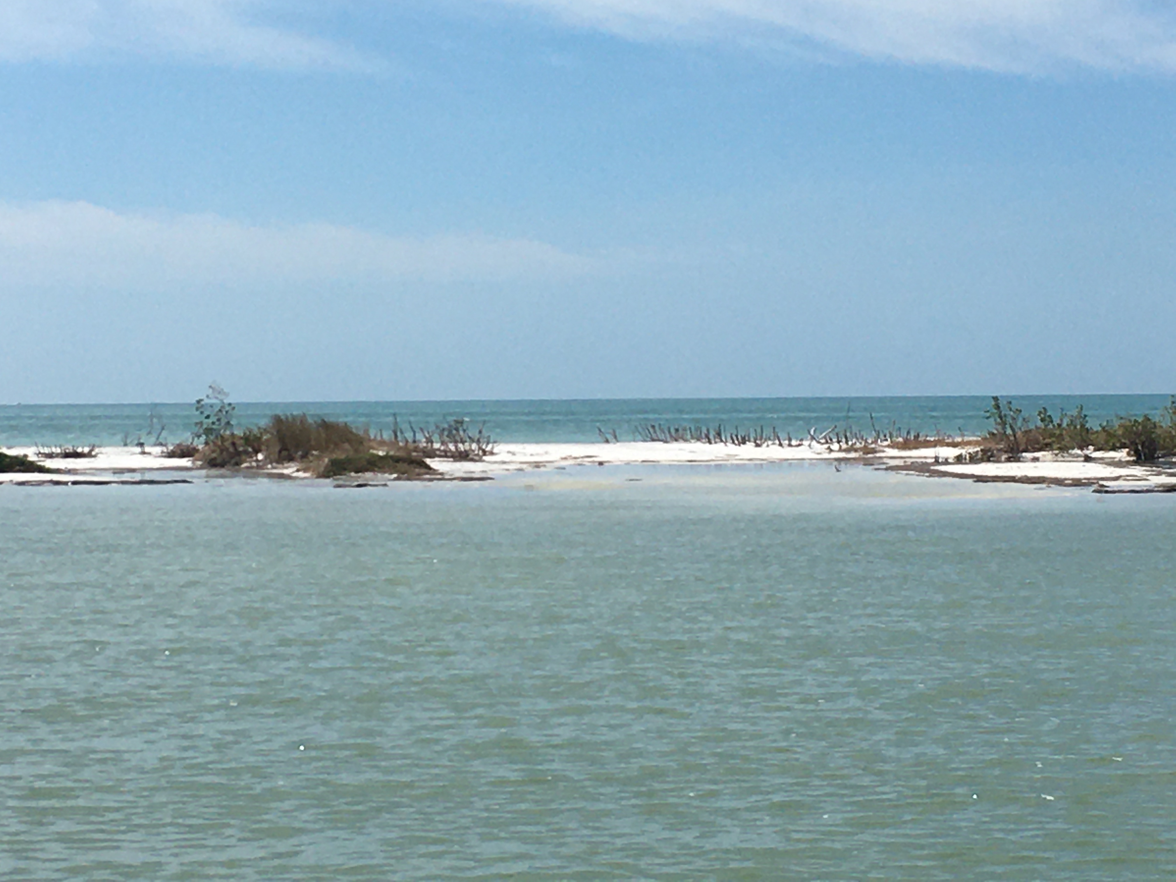
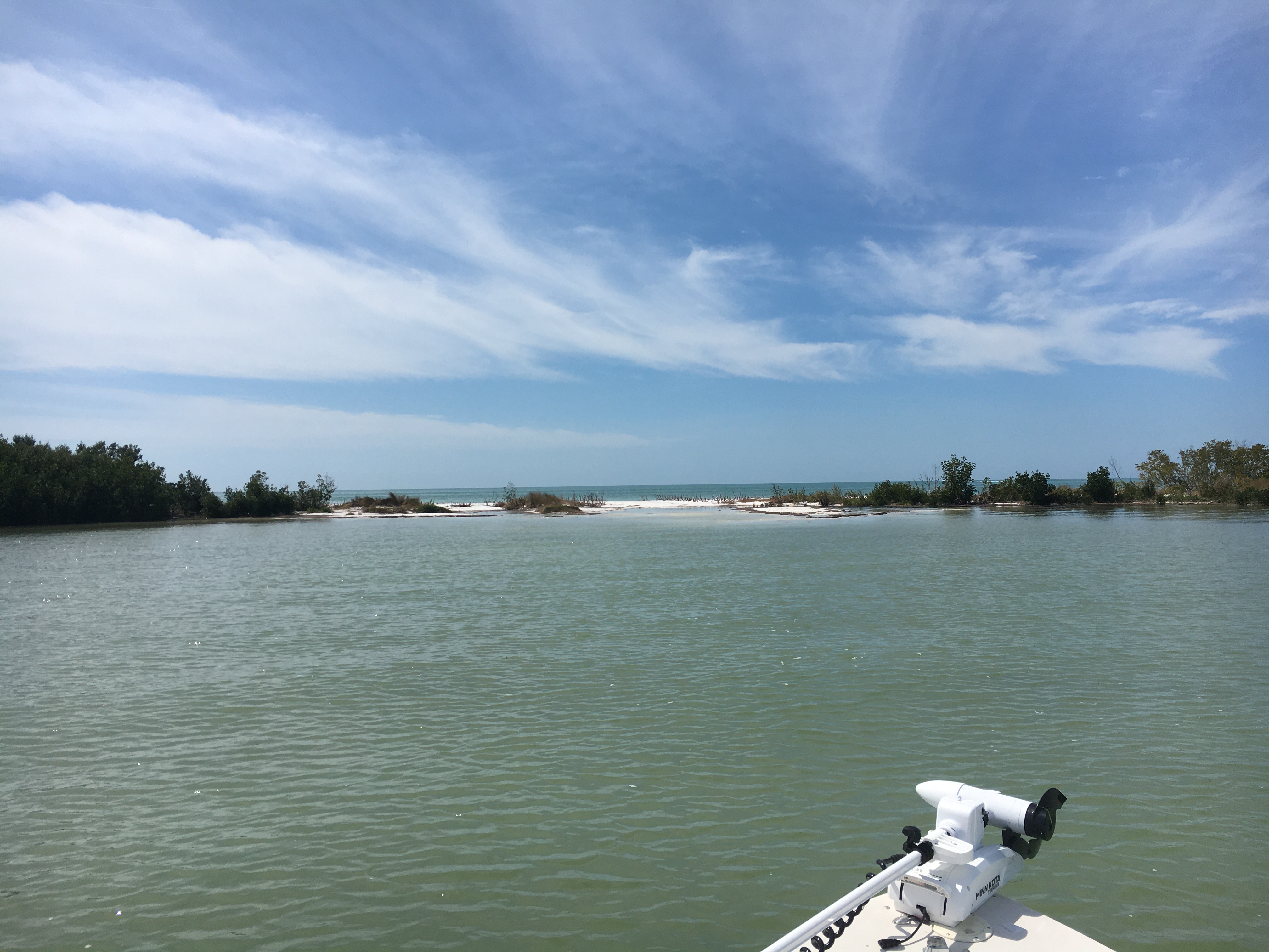
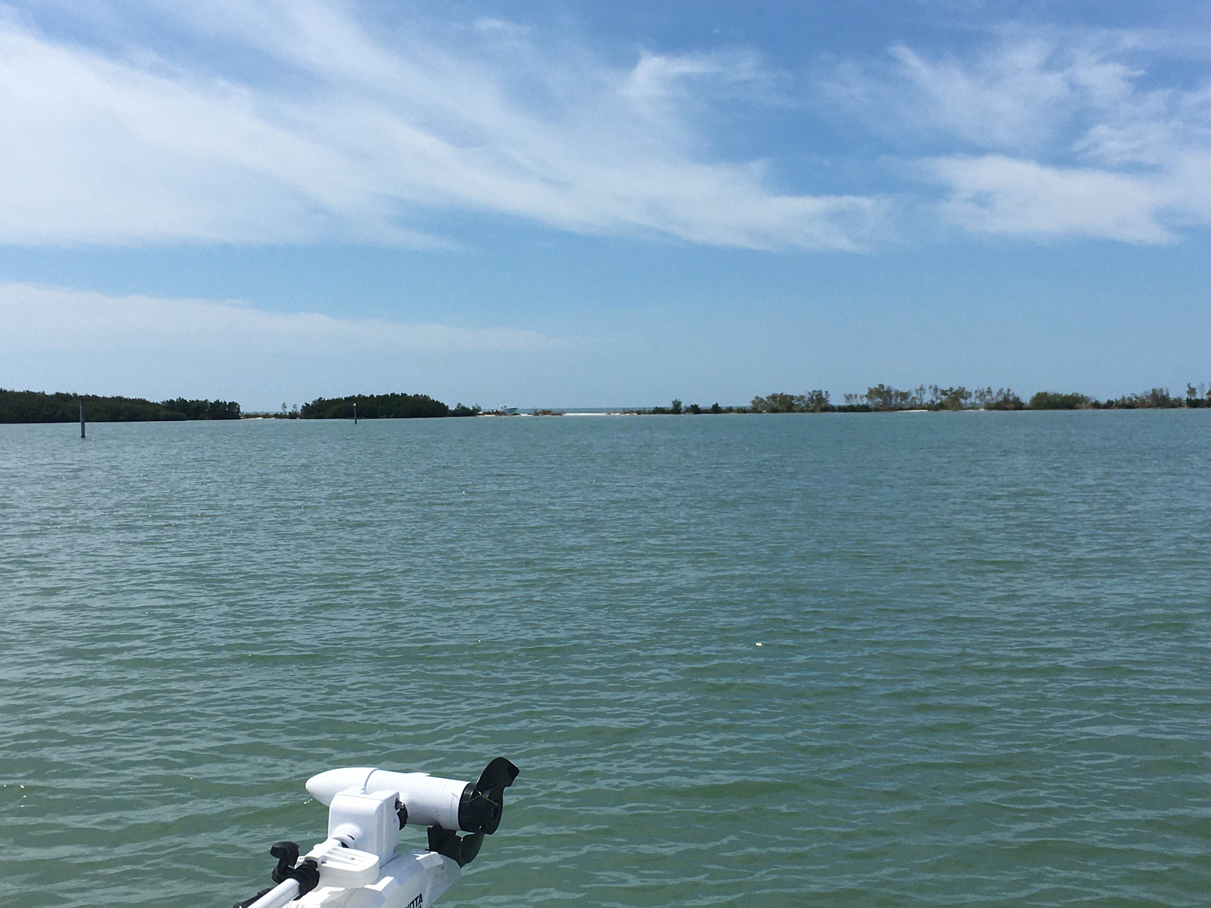

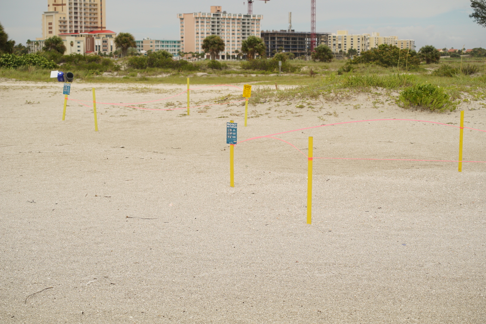
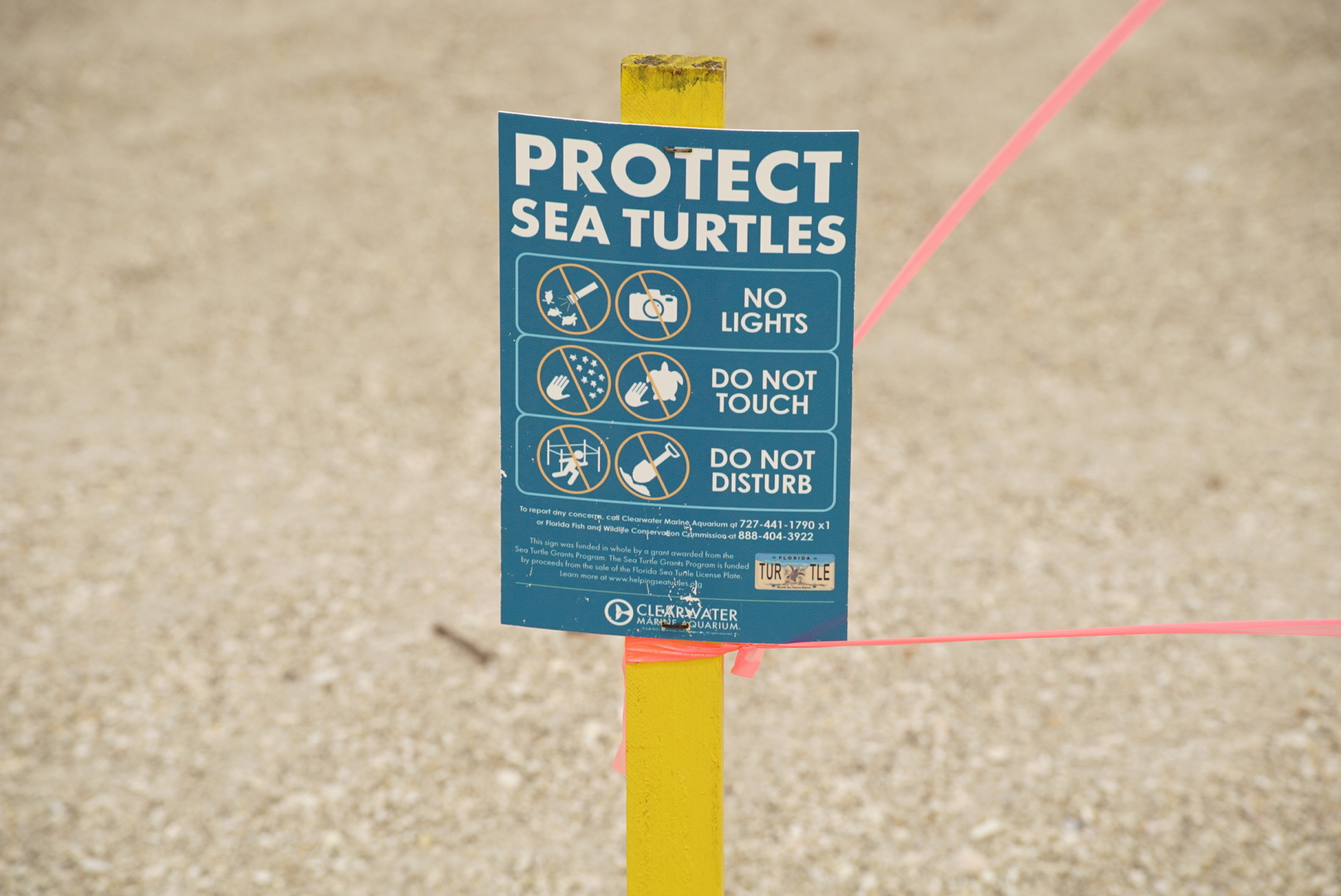
It’s about to split! We don’t have much sand left in this little gap. What’s it going to take to open this pass? Are we just a few spring high tides away or will a tropical storm do the trick? Send in a few pictures if you’re there after it happens. We’re just weeks or maybe months away from the official split of the walking beach Honeymoon Island ranked among the best beaches in the country.
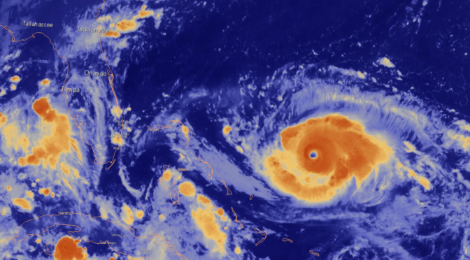
Dorian Could Wreak Havoc on The East Coast
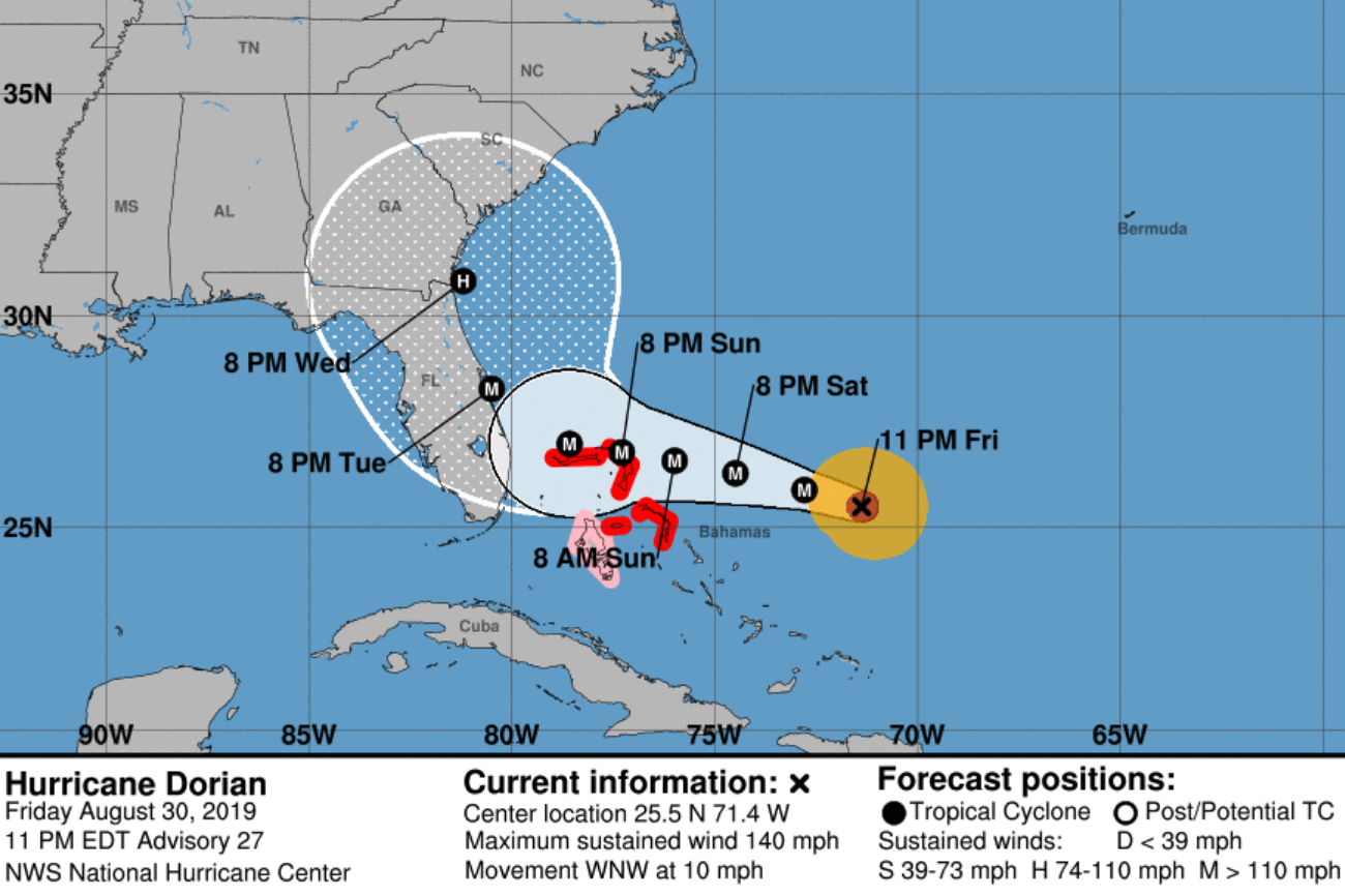
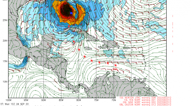
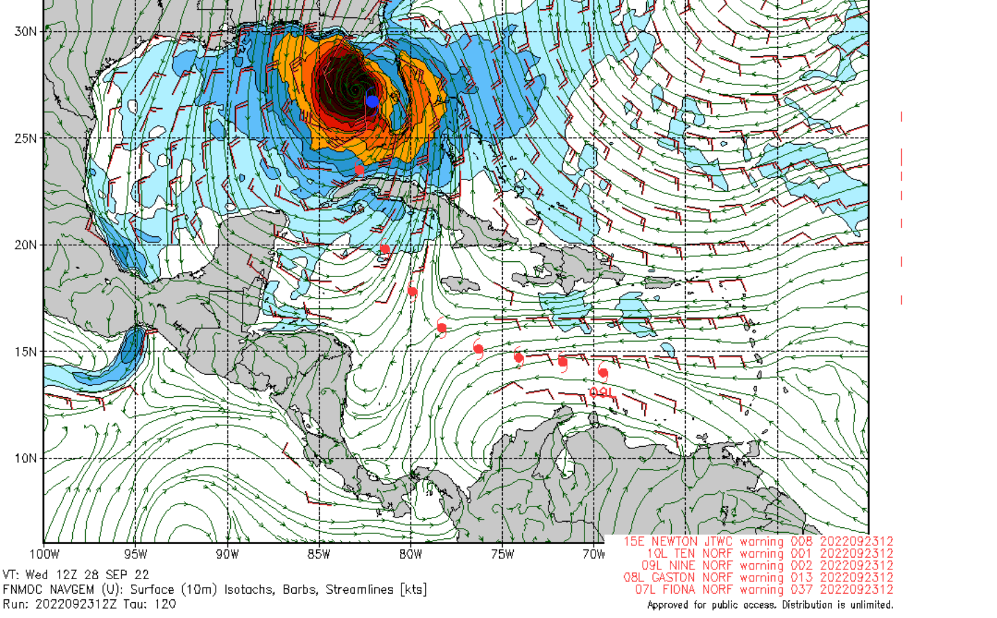
Please note: I added the current forecast track image to the homepage down toward the bottom. It’s a link to the NHC. There’s also a water vapor satellite image GIF so you can see what’s happening with the appearance of the storm as it’s happening.
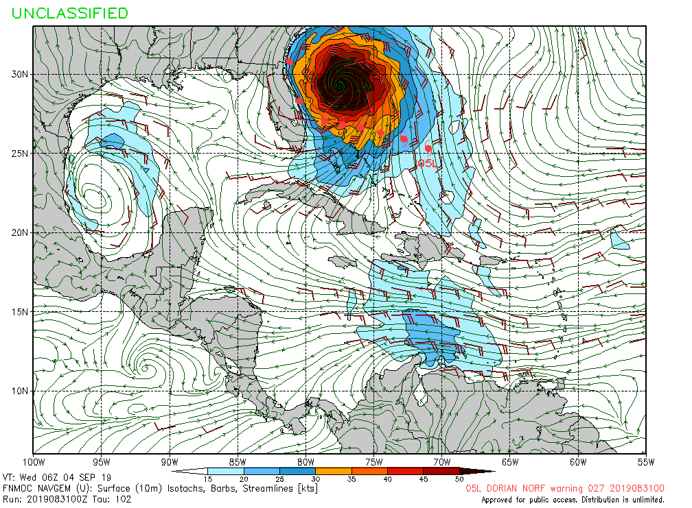
Hurricane Dorian, now a cateogry four hurricane with 140mph winds, is expected to make landfall early next week. The storm track cone has the landfall somewhere in east central Florida around 8pm on Tuesday, possibly annihilating Cocoa Beach. If it goes that way, Dorian’s going to tear some shit up. It won’t be a pretty sight. Looking on the bright side, this forecast has been adjusted over and over again. First, it was predicted, as it was last summer, with an obviously flawed track through the middle of the state. A repeating tracking pattern through the middle of the state just makes me think that NOAA and the NWS are just little play things for the rich people in power who are in love with money, and are willing to tell the whole country that the whole state, from the east coast to the west coast, is going to get annihilated by Dorian, so people go out and buy excessively canned food and crap they don’t need. Then after the sufficient spike in sales, we saw the trend where the track shifts a little bit more east taking it through the middle of the state. Now we’re seeing a track where it rides up along the east coast. I just can’t believe how absurd the forecast tracks have been this summer and the last. I’m sure some people are getting a nice fat wad in there pockets after these storms, further encouraging the absurdity. The track the navy’s GFS is pushing out now shows the track not even reaching the east coast (image below also a link to forecast). It’s what one of the local weather stations was also saying could be a possibility. Soon, we may see the NHC update with the actual forecast track up along the east coast, who knows. I’m not going to lie to you, the track is still unsure, however trends are actually pretty common with these things. The trend takes these hurricanes up along the east coast, sometimes making landfall, sometimes not. All I can say for sure is, I think we’re safe here on the gulf.
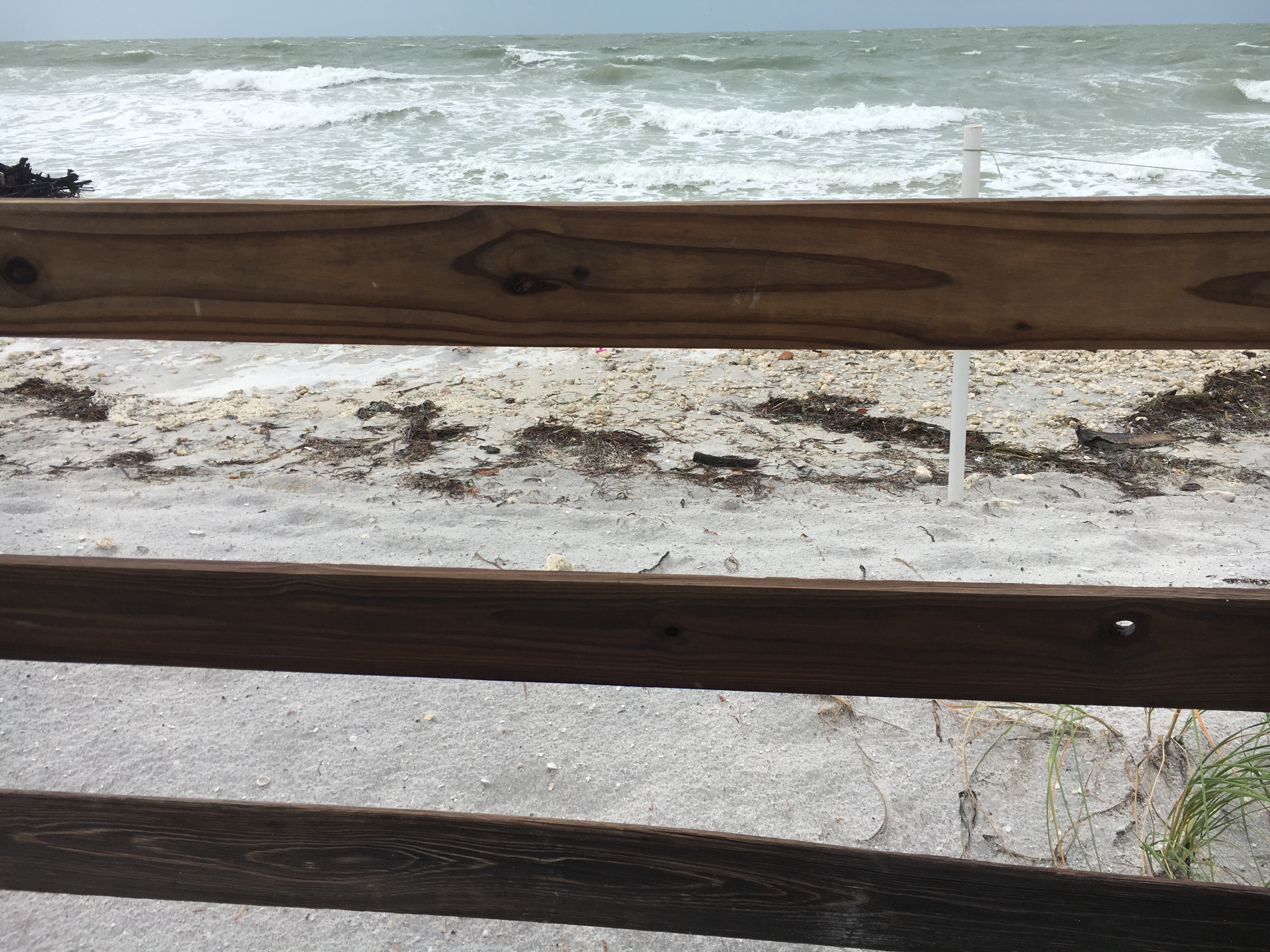
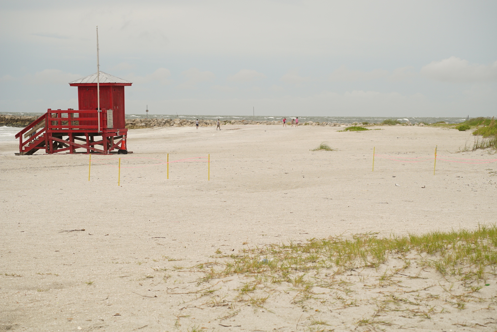
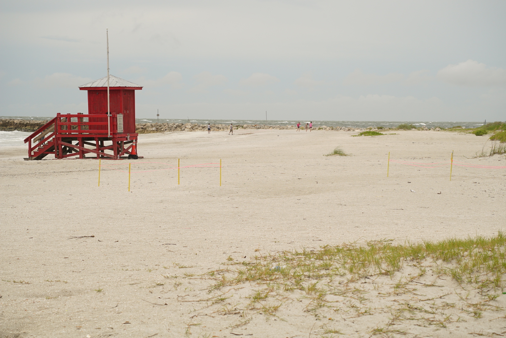
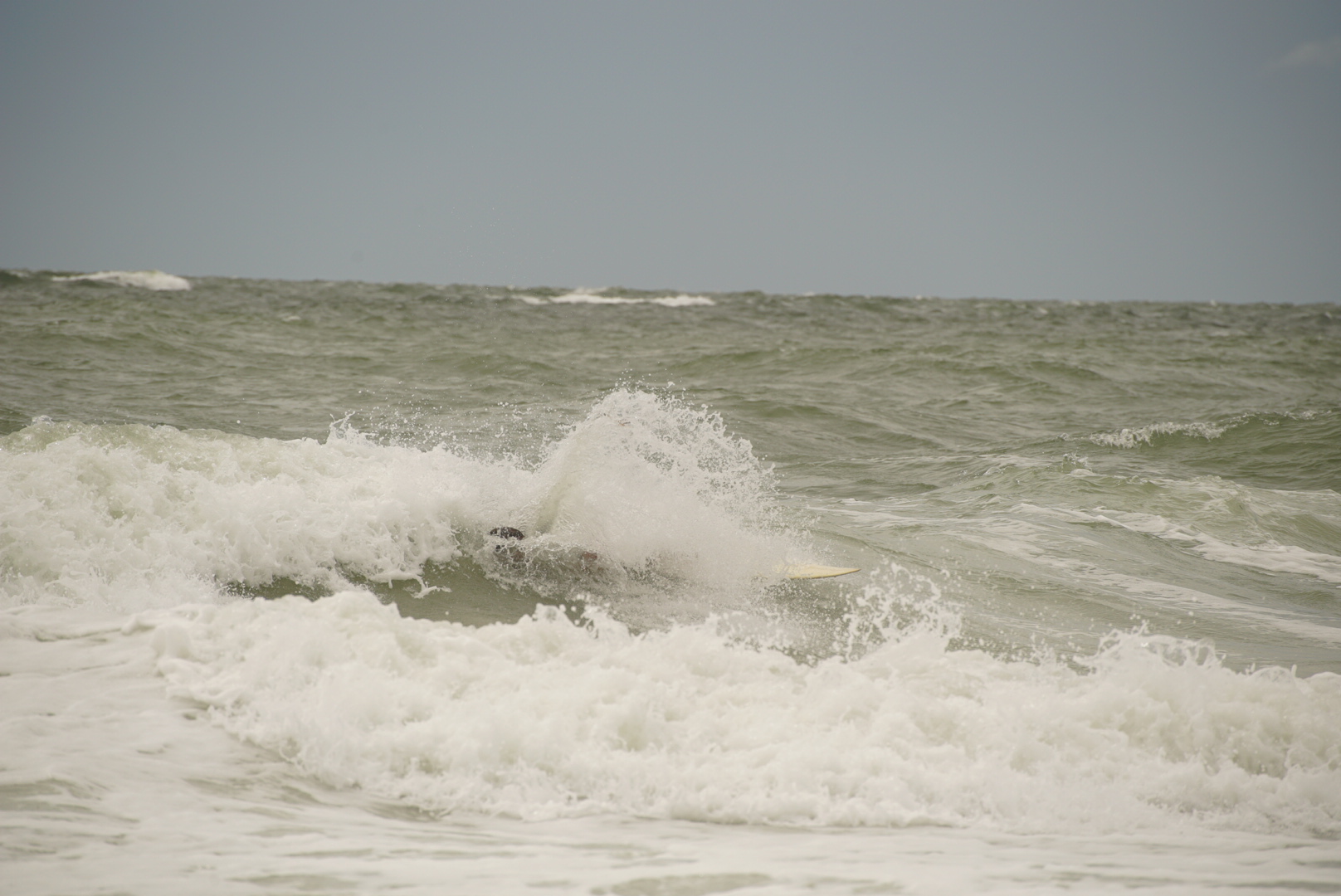
Epic T-Groin Failure 1:30pm
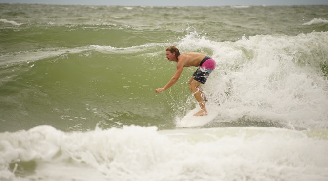
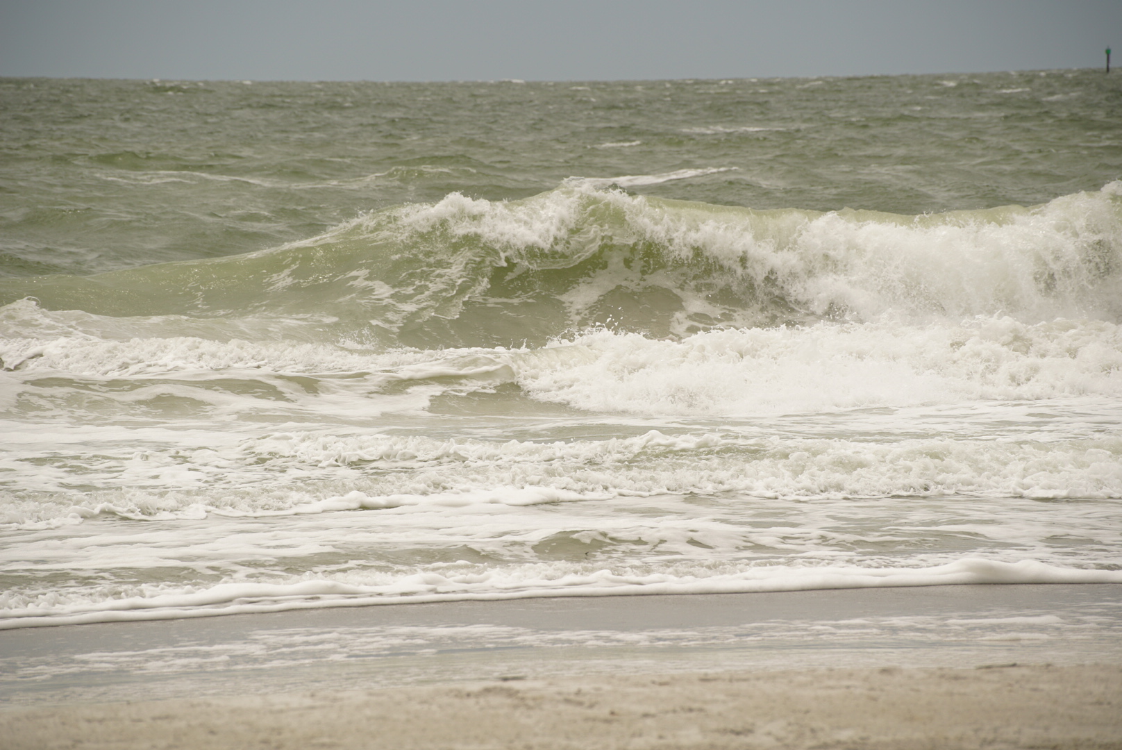
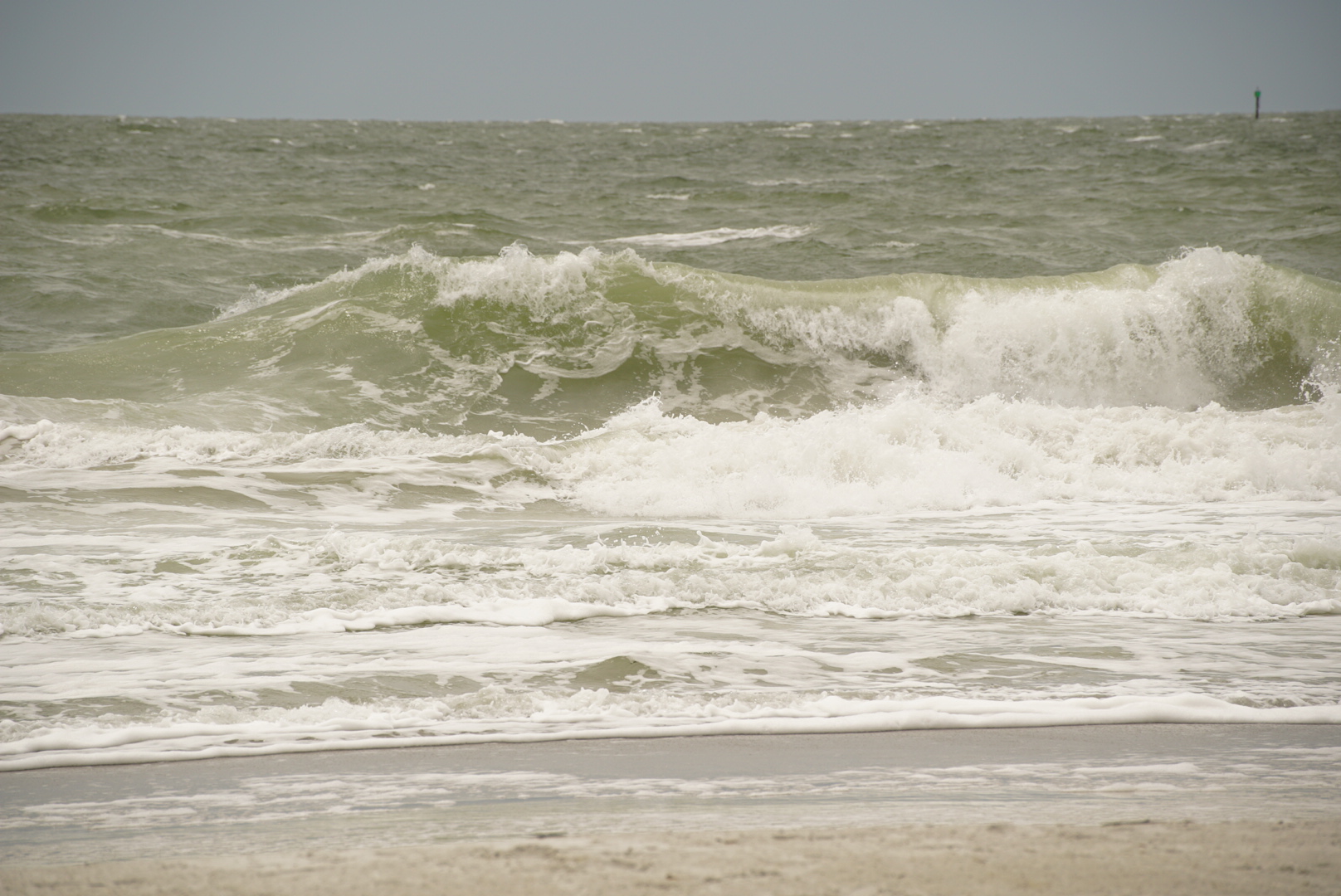
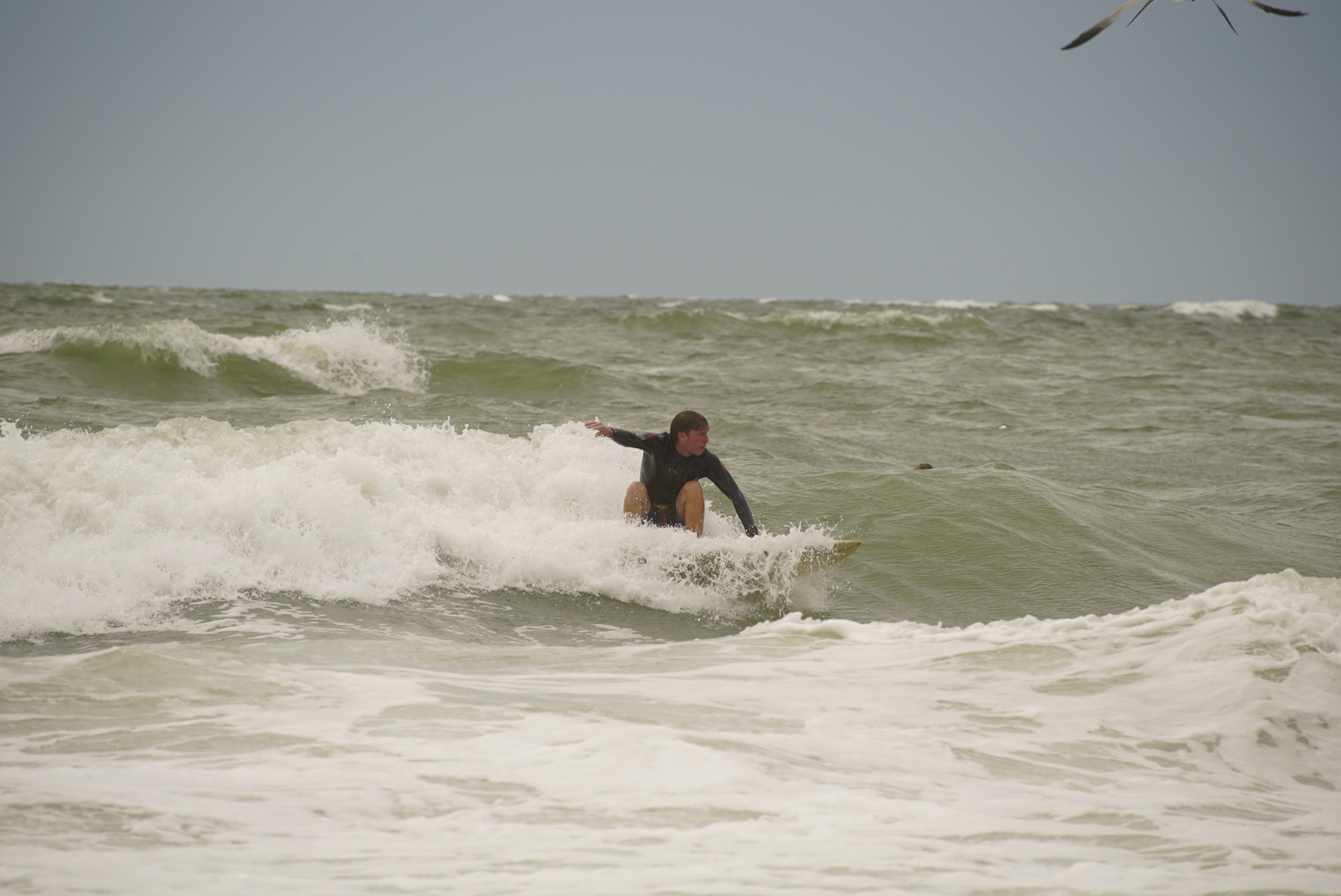
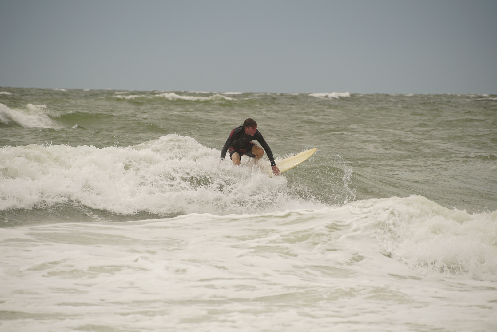
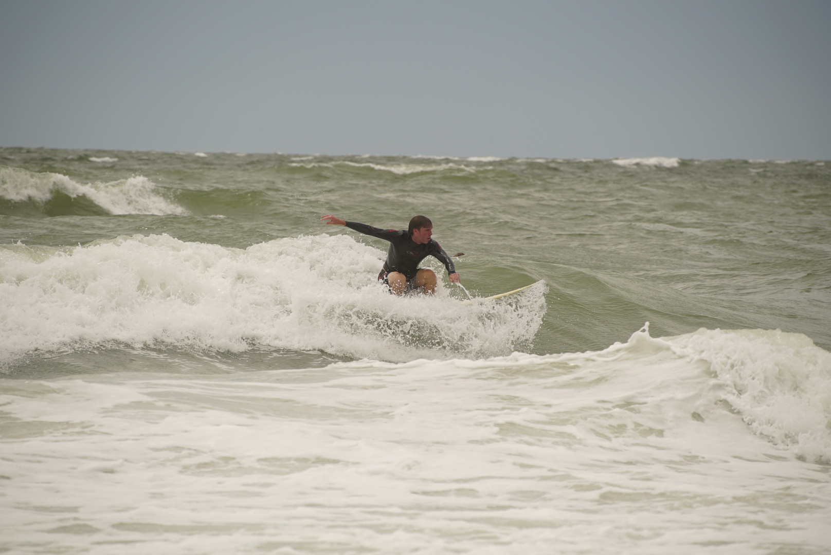
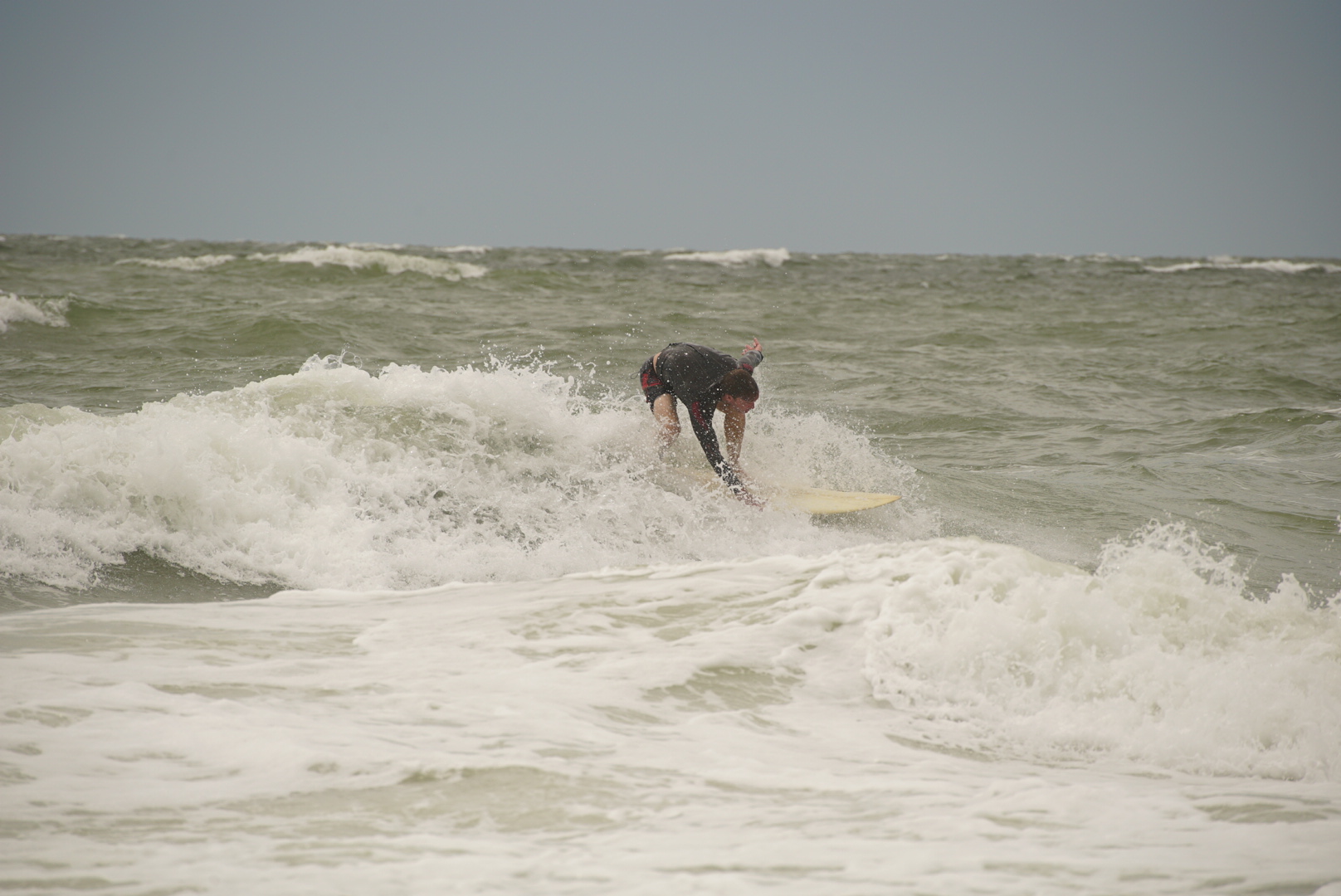
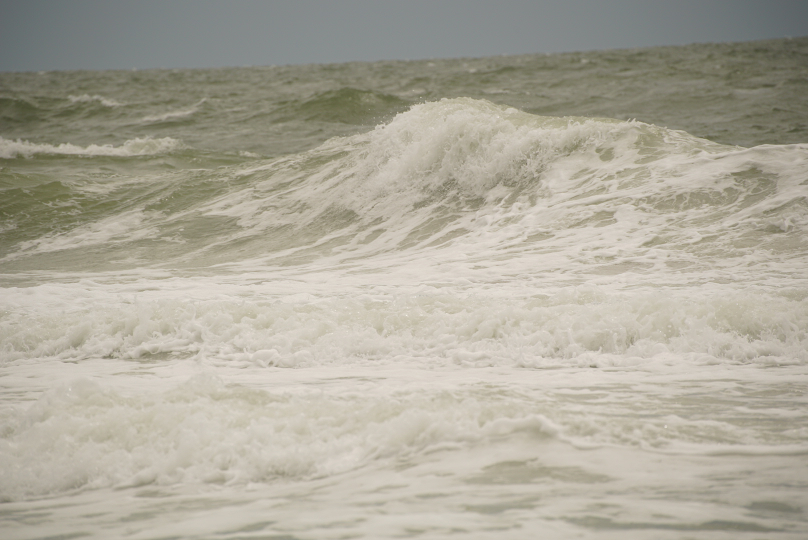
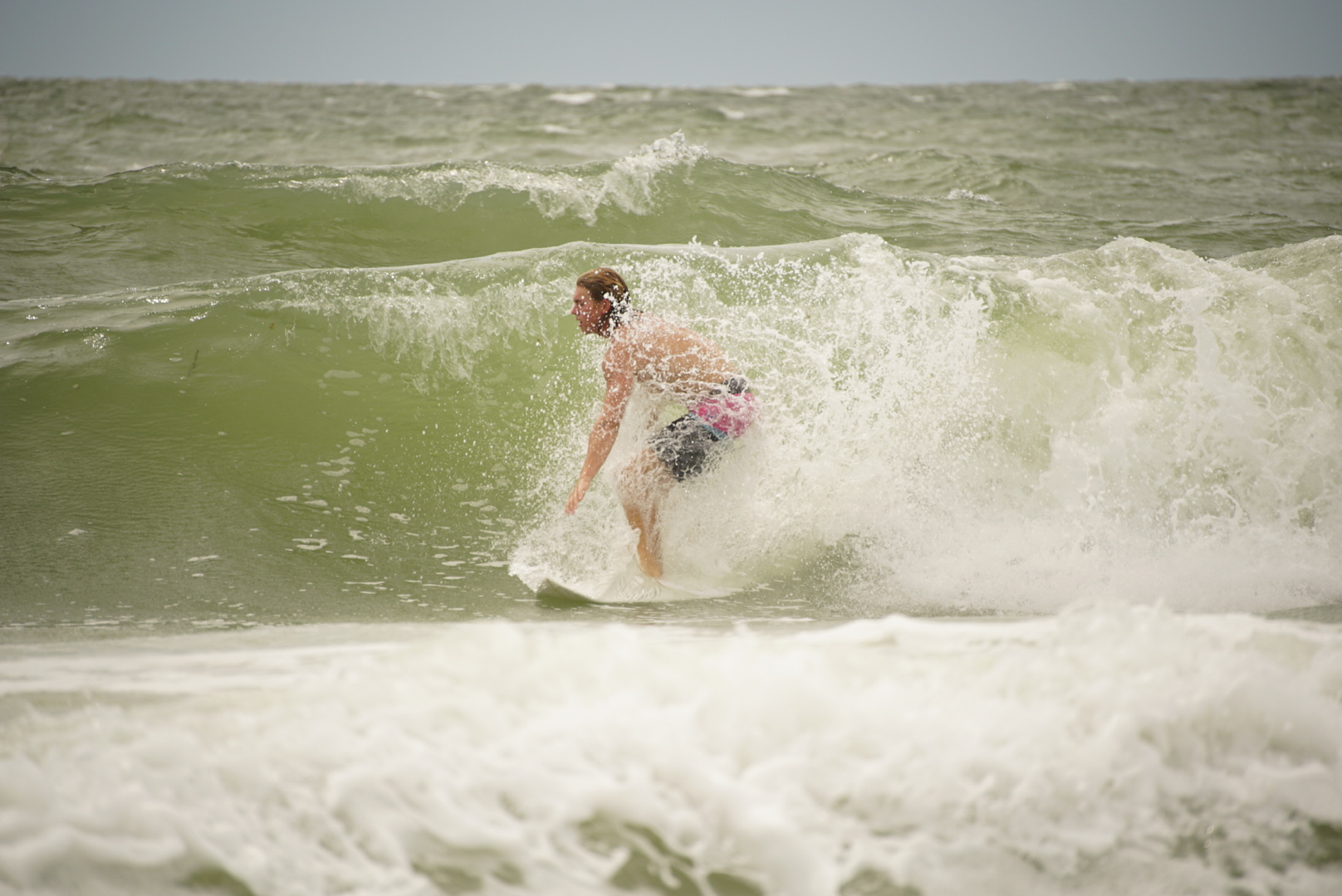
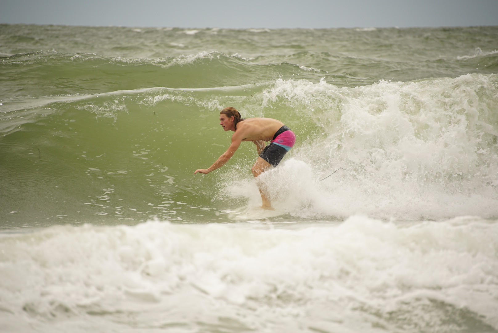
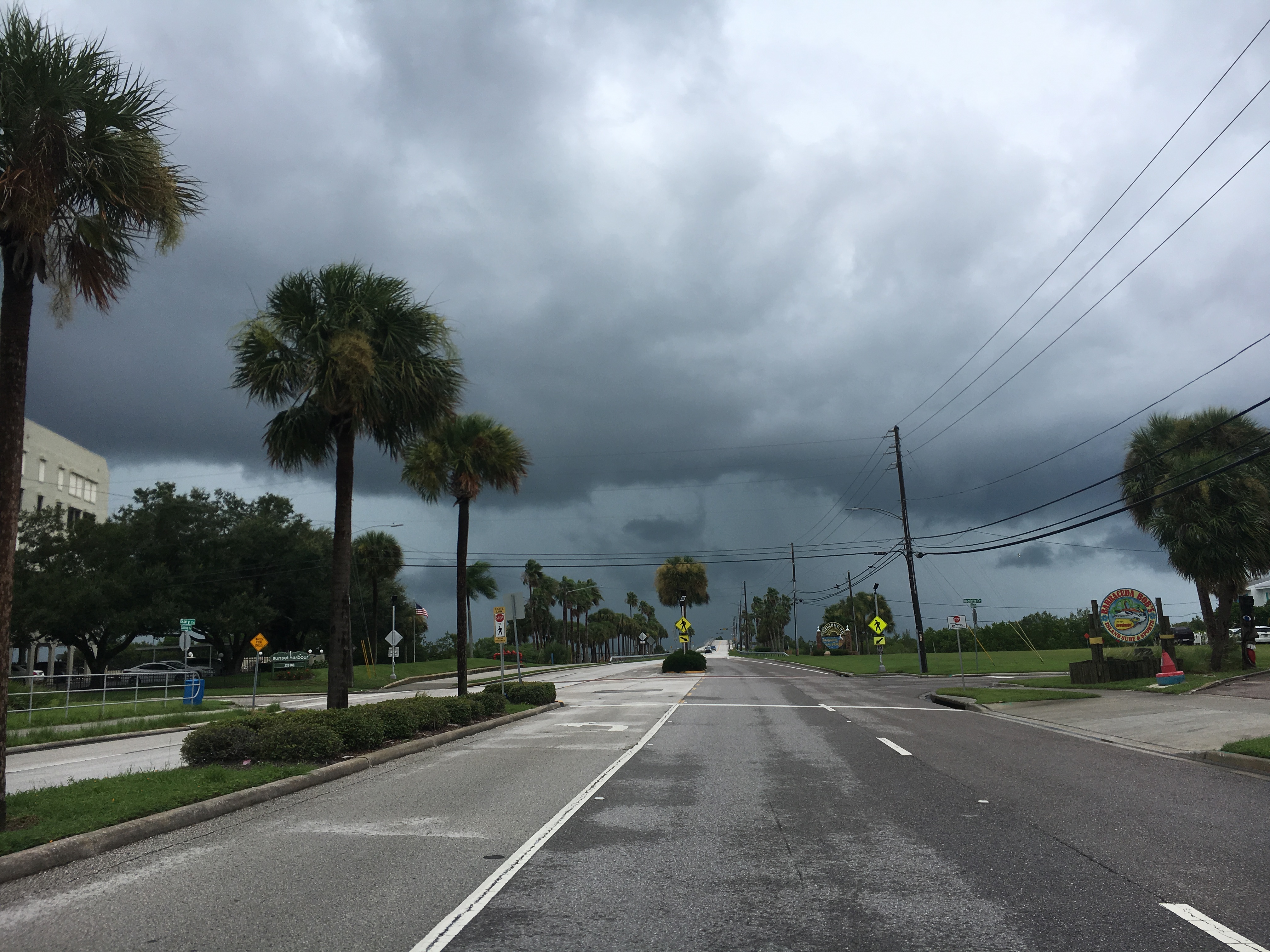
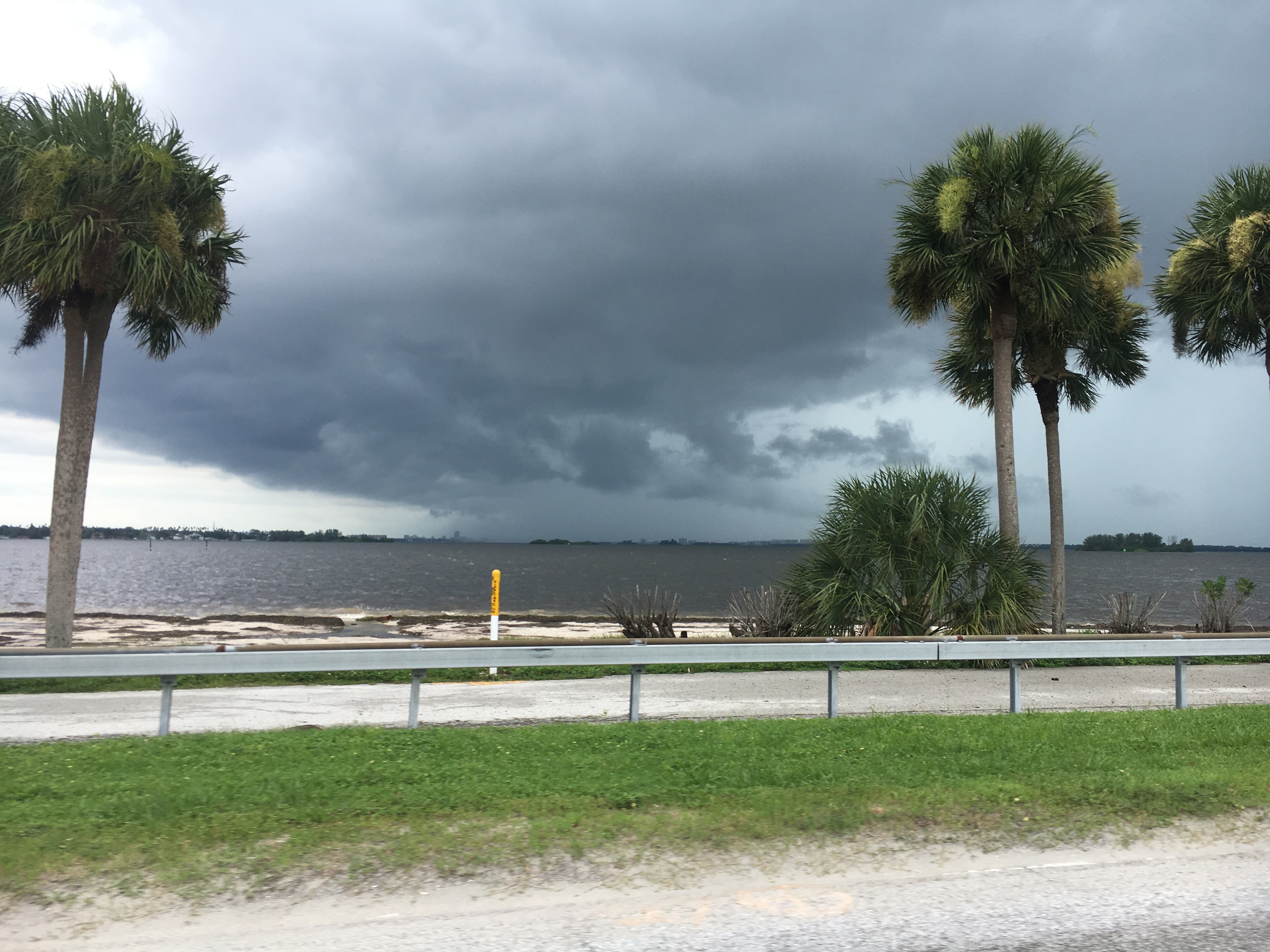
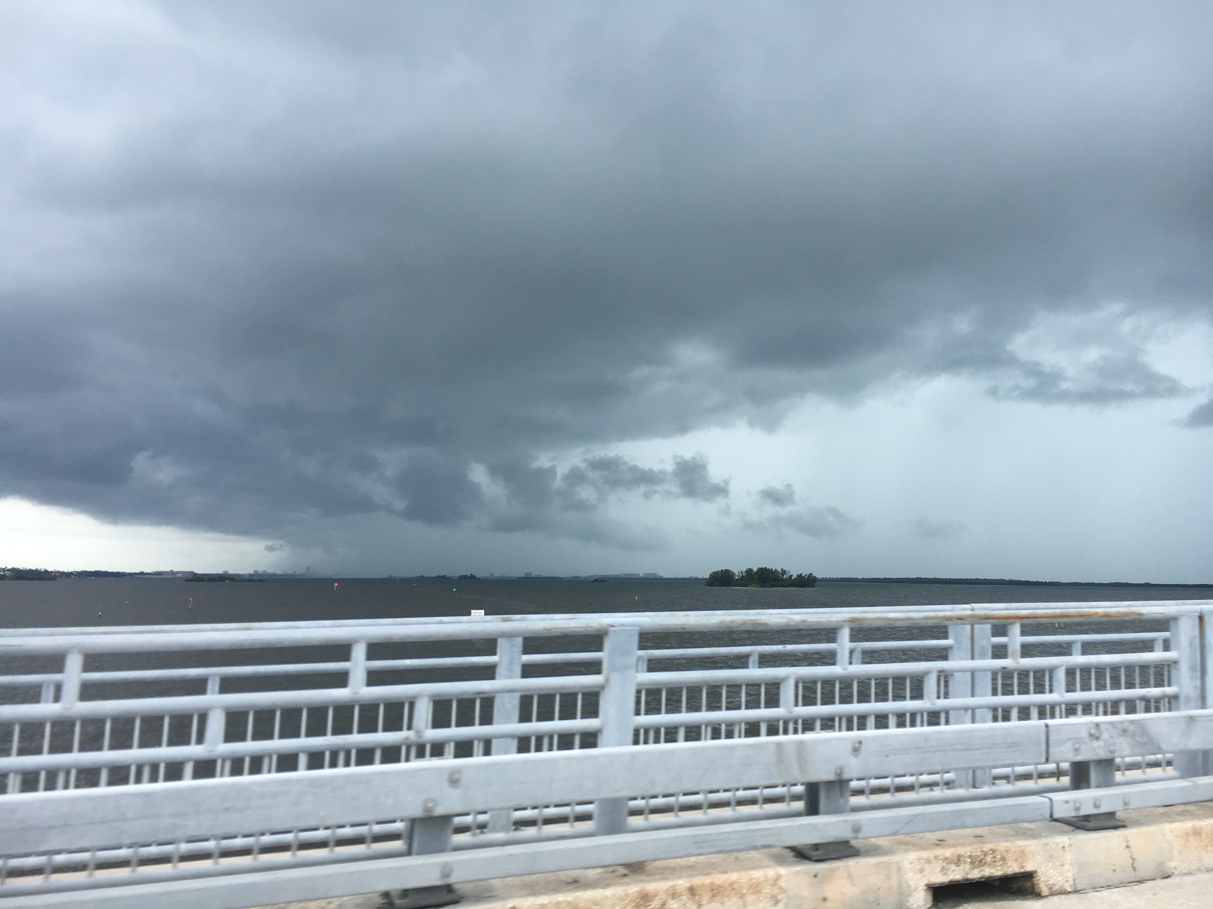
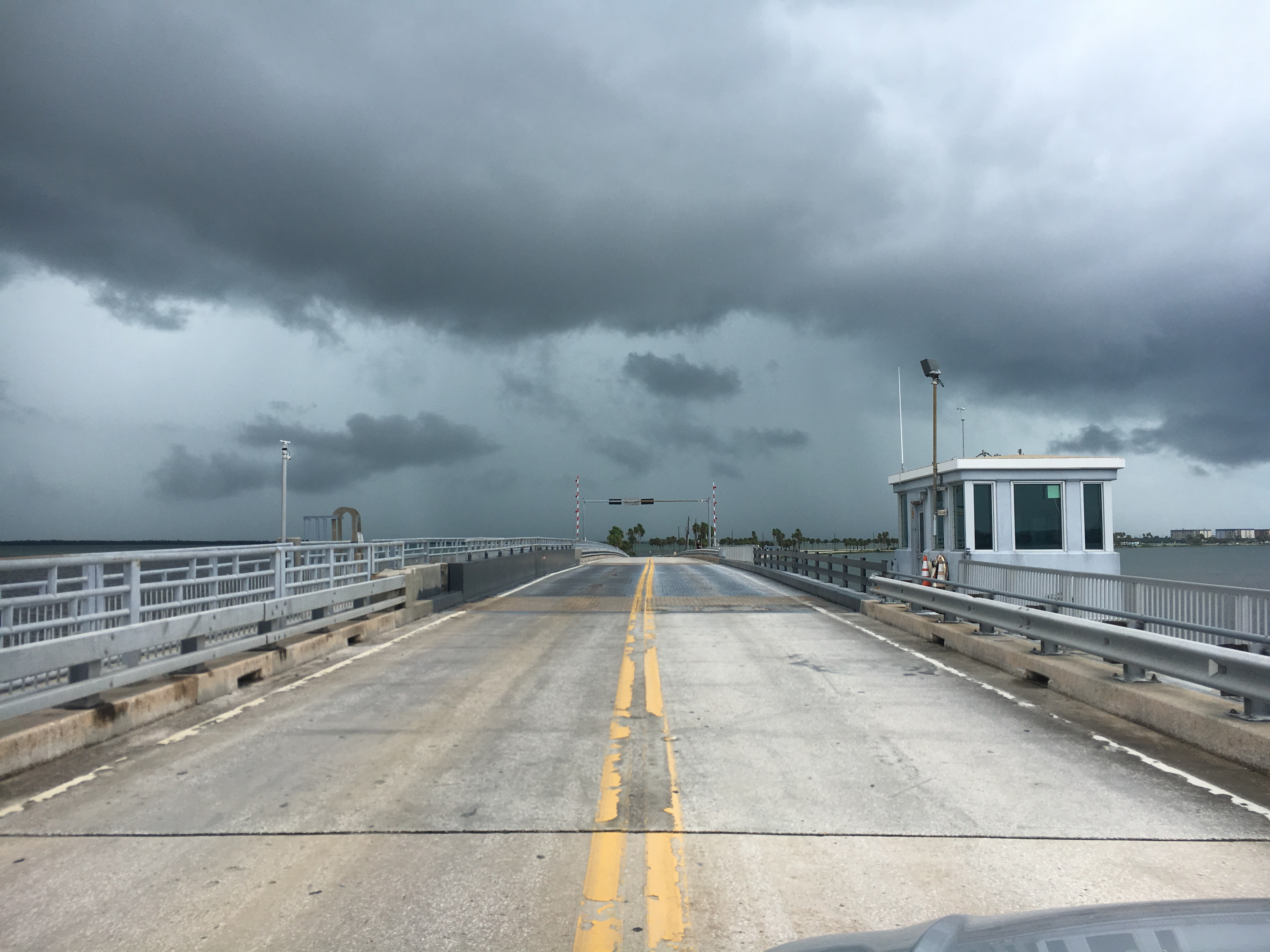
1:30pm: A storm just rolled in. The storm band was a short quick shot of rain. The high tide seems like a storm surge high tide. I don’t actually think it is. The water is washing into the parking lot again. The surf is rideable, and looks fun at times. No one is out, and there’s still a light drizzle. The size of the surf will drop again for the super low tide. Now or later, who knows. I’m debating now or later. It doesn’t look much bigger than yesterday, still coming in with long waits between set waves.
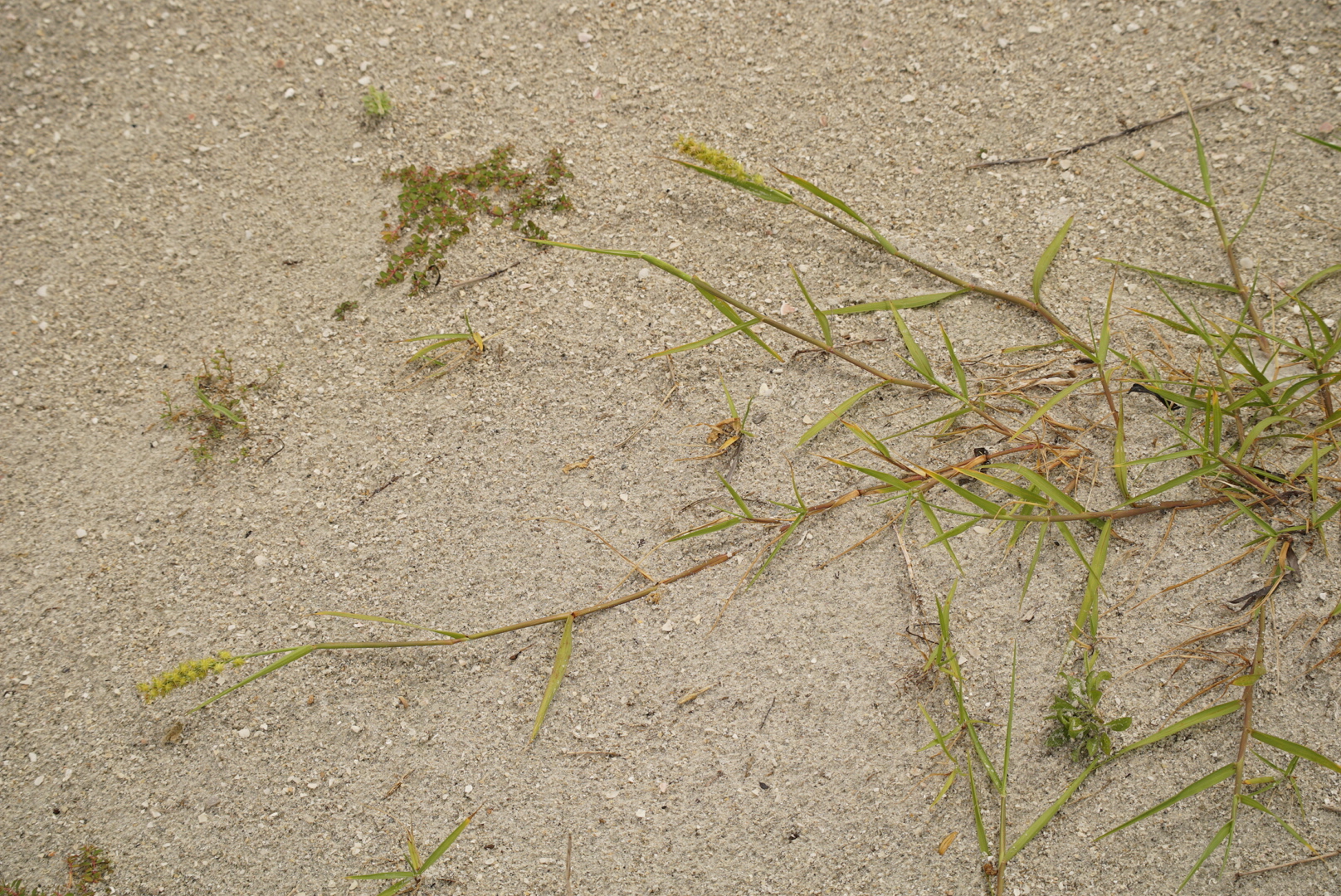
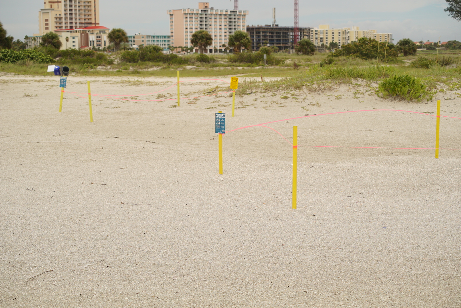
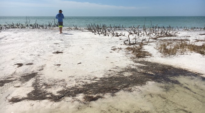
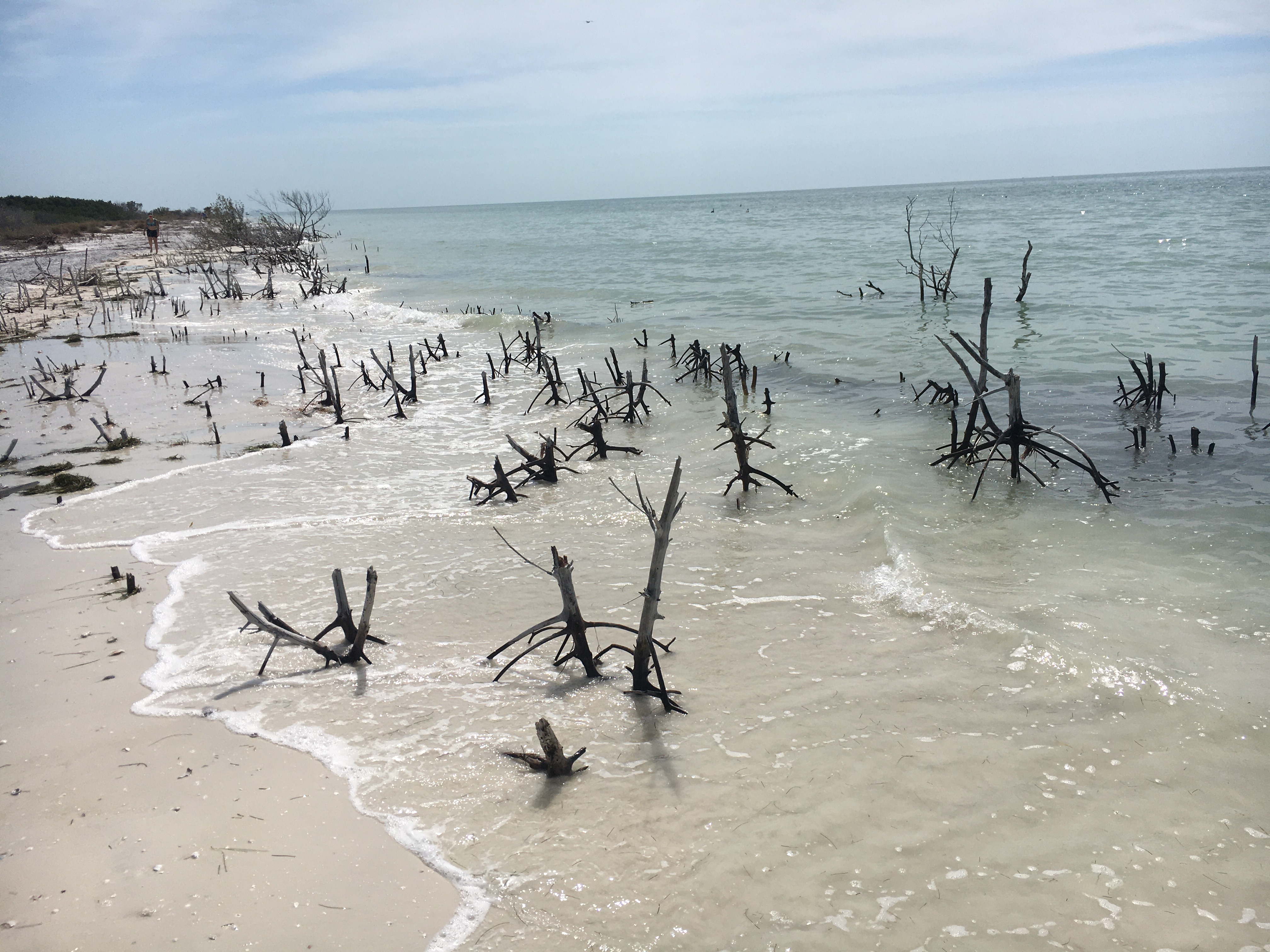
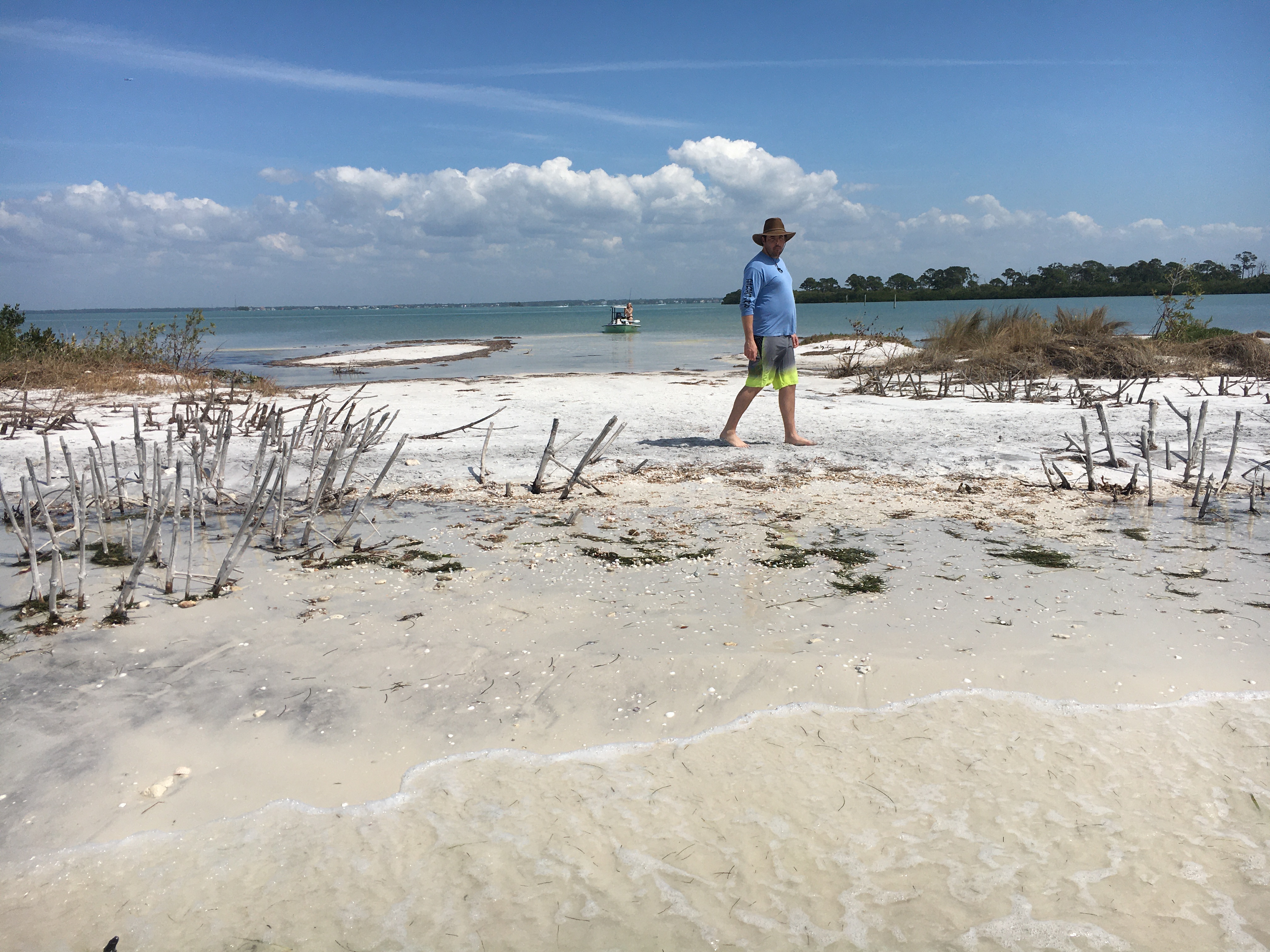
The imported sand they trucked to the beach or moved from some other place after the dredge seems to be almost gone: